Snow Maps & Forecast Saturday
Snow Maps & Forecast Saturday
The record breaking temperatures are done and it is back to cold air for Friday and the weekend. Friday will still be above average though temperatures will settle in the upper 30s and lower 40s by morning and pretty much sit there for Friday inspite of sunshine. Cold air will continue to move in Friday night and Saturday. We should see clear skies to start Friday night and then clouds will begin rolling in as the night wears on.
In the meantime the cold front is moving through and you can see the showers lined up in a narrow band as they move southeast. The area is weakening so other than a few passing showers until about midnight, the remainder of tonight will be dry.
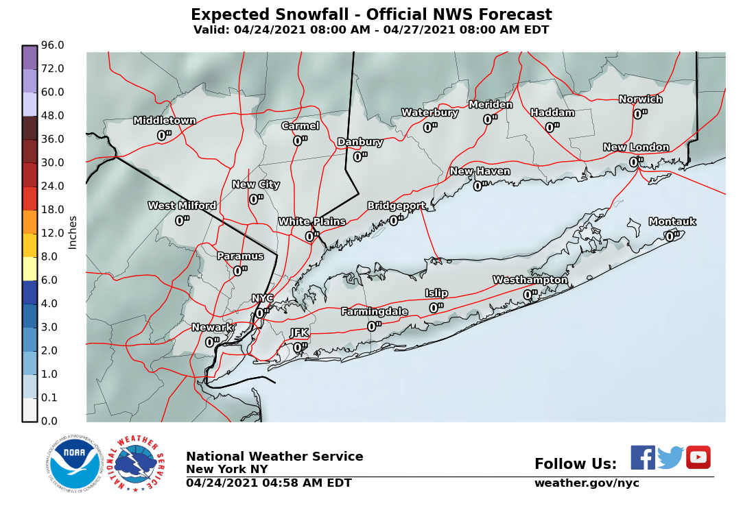
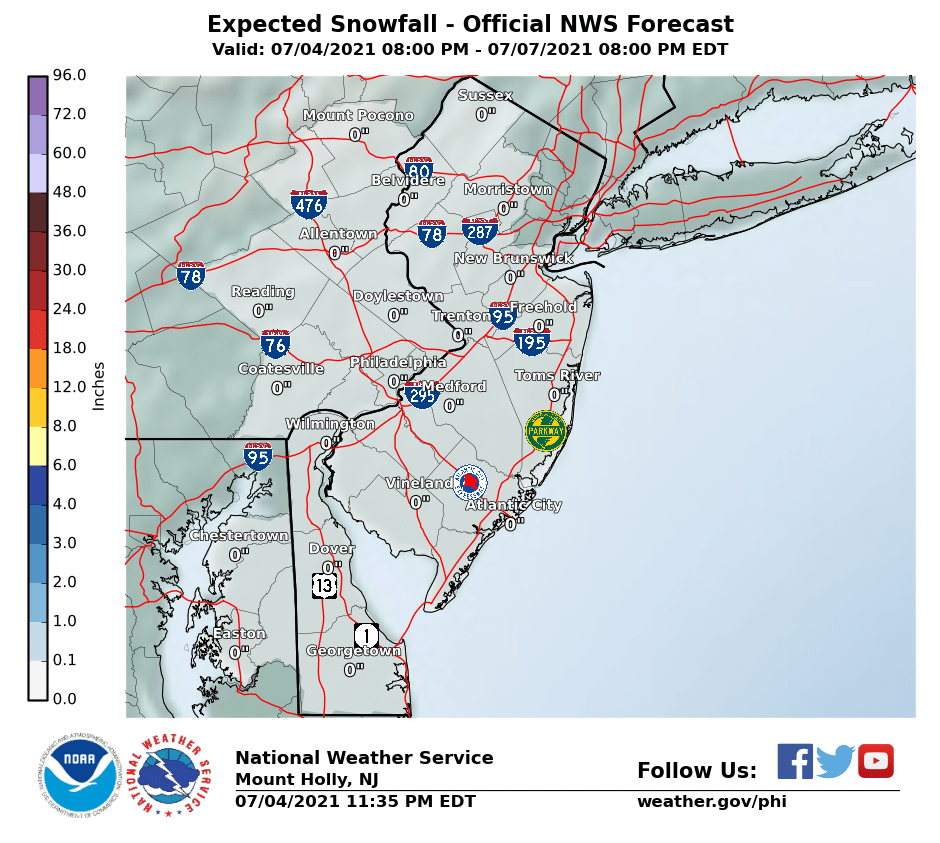
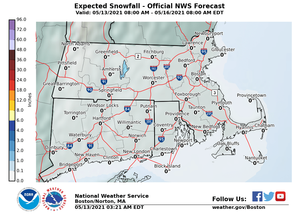
The maps below are the National Weather Service forecast snow maps with the most likely snowfall prediction. With regards to snow on Saturday the system remains very weak on all models. Most of the weather models have shifted southward this afternoon which makes sense. The cold air to the north is suppressing the frontal boundary a little further south. I still think there is a shot for snow to make it to New York City and Long Island but even if it does I wouldn’t expect more than a coating. For Central and Southern New Jersey and Southeastern Pennsylvania, I think a coating to an inch or so at most is reasonable to expect.
Once this system is done, we don’t see much happening next week in terms of snow. Cold temperatures should last into Monday and then the rest of next week looks mild and there will be some rain possibilities going forward beginning on Wednesday. This winter seems to be playing out to be average though we continue to see these wide volatility swings. Signs point to a colder pattern late in January but as usual take long range models with a grain or perhaps a salt mine full of salt.


