Snow Forecast Thursday 12142017
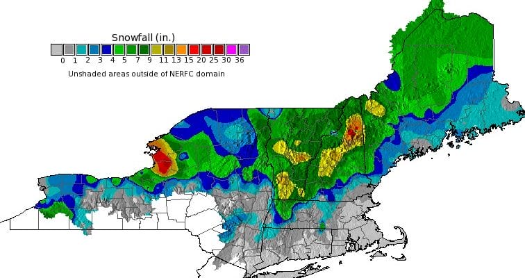
The map above shows the snow fall from yesterday’s storm system that brought a general 4 to 10 inch snowfall across much of upstate NY and Central and Northern New England generally north of Interstate 90. There were some pockets of 1 to 2 feet in lake effect areas of upstate NY particularly on the eastern shore of Lake Ontario and in parts of New Hampshire which did rather well.
As far as tonight’s system is concerned it is a fast moving minor one with a general coating to an inch to maybe 2 inches in some places from Eastern Pennsylvania to Southern New England. I want to be a little cautious about Long Island because the low will re-develop just south of Long Island Thursday morning and there could be a little bulge of additional precipitation there. A local surprise is not out of the question.

GET JOE A CIGAR SO HE CAN RELAX!
NEW YORK CITY AND VICINITY SNOW

NEW YORK CITY & VICINITY ICE

NEW JERSEY & PARTS OF NE PA

SOUTHERN AND SOUTHEAST NEW ENGLAND

NORTHERN NEW ENGLAND

WESTERN NEW ENGLAND

MIDDLE AND UPPER HUDSON VALLEY

CENTRAL NEW YORK & NE PA

WESTERN NEW YORK

CENTRAL & SOUTH CENTRAL PA

VIRGINIA & MARYLAND

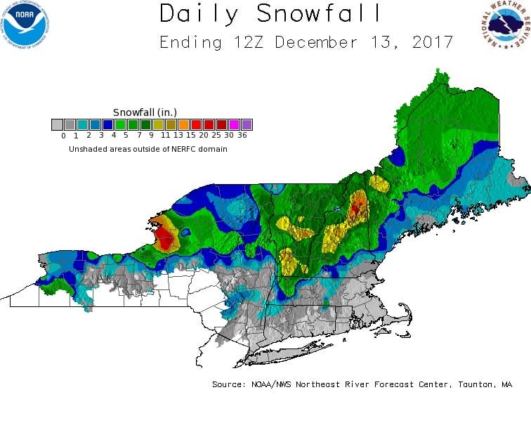
DAILY NORTHEAST SNOWFALL

Please be advised that these are National Weather Service Forecast Maps and they auto update. Each office may update at different times and some offices are slower to update then others. Maps are usually updated before 5am and & 5pm however they may be updated at other times depending on forecast conditions. These are not my forecasts. My forecasts can be found on the JOE’S SNOWFORECAST PAGE. Individual forecasts for specific areas may also be found when conditions warrant on the my area forecasts. Those can be found on the website menu. Click on forecasts and then select your specific area.