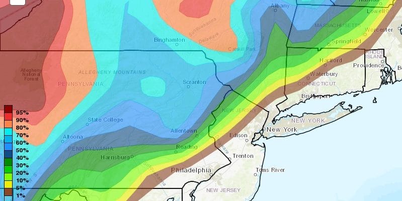
Snow Forecast Inland Areas Super Bowl Sunday 02042018
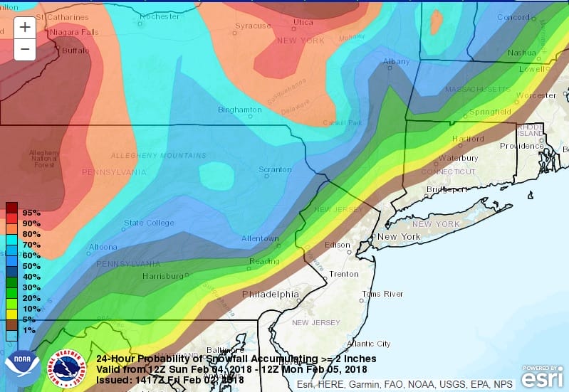
Snow Forecast Inland Areas Super Bowl Sunday 02042018
The map above shows the National Weather Service forecast for the chance of greater than 2 inches of snow from this next weather system for Sunday. The highest chances will be in Northwest of New Jersey and in the Hudson Valley mainly north and west of Route 84. Elsewhere it will be rain except for maybe a little bit of snow or sleet at the start. Also some areas may have some icing issues depending on whether cold air gets trapped at the low levels of the atmosphere. That also should be well inland.
GFS 24 HOUR SNOW FORECAST SUPER BOWL SUNDAY INTO MONDAY MORNING
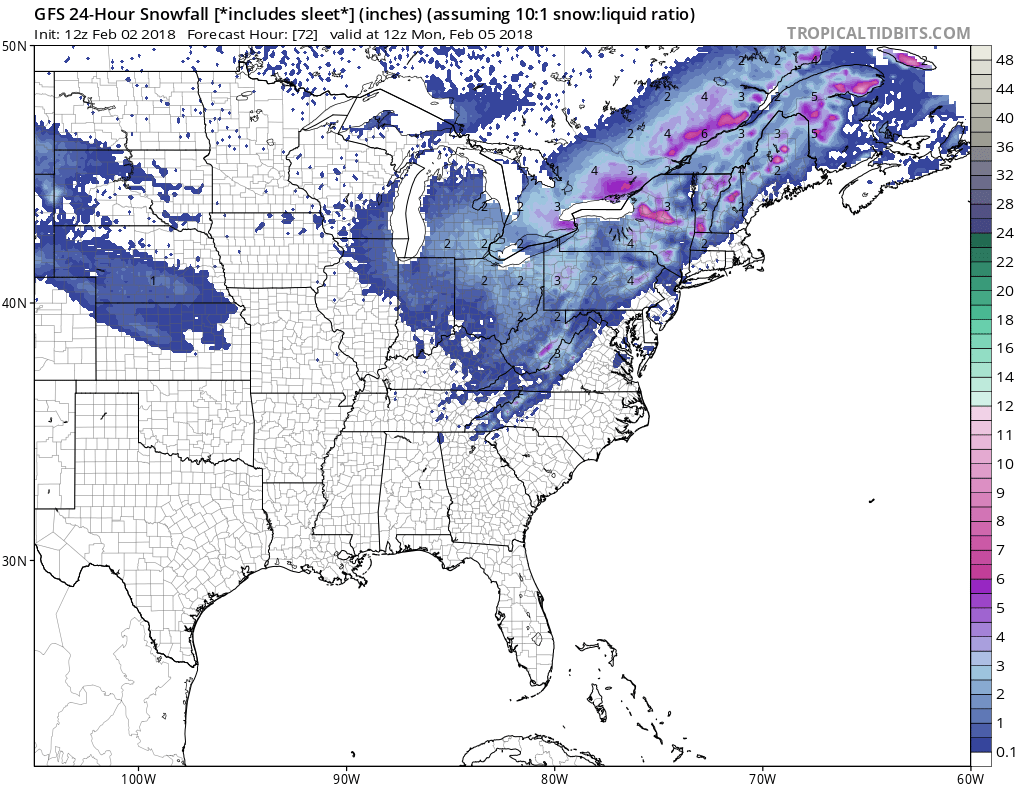
The GFS model lays out the best forecast in my view of all the models. Heavier snows will be in pockets of Northeast Pennsylvania into upstate NY and interior New England with pockets of 4 to 6 inches in some places.

GET JOE A CIGAR SO HE CAN RELAX!
NEW YORK CITY AND VICINITY SNOW

NEW YORK CITY & VICINITY ICE

NEW JERSEY SE PA & VICINITY ICE
NEW JERSEY & PARTS OF NE PA

SOUTHERN AND SOUTHEAST NEW ENGLAND

NORTHERN NEW ENGLAND

WESTERN NEW ENGLAND

MIDDLE AND UPPER HUDSON VALLEY

CENTRAL NEW YORK & NE PA

WESTERN NEW YORK

CENTRAL & SOUTH CENTRAL PA

VIRGINIA & MARYLAND

DAILY NORTHEAST SNOWFALL

Please be advised that these are National Weather Service Forecast Maps and they auto update. Each office may update at different times and some offices are slower to update then others. Maps are usually updated before 5am and & 5pm however they may be updated at other times depending on forecast conditions. These are not my forecasts. My forecasts can be found on the JOE’S SNOWFORECAST PAGE. Individual forecasts for specific areas may also be found when conditions warrant on the my area forecasts. Those can be found on the website menu. Click on forecasts and then select your specific area.