Snow Burst Late Today Bitter Cold Weekend
Snow Burst Late Today Bitter Cold Weekend
HRRR MODEL 2PM-8PM FRIDAY SNOW SHOWERS MOVING THROUGH

Much like a summertime line of showers, we have a similar set up today except that it is with the arrivial of the core of the cold air mass that is building in for the weeken. We are starting the day with some sunshine and a gusty breezy but look for clouds to develop and this afternoon between 4pm-7pm there will be a line of snow showers that will swing across Eastern Pennsylvania and the Hudson Valley and the move across NYC Long Island and Connecticut. Some places will see a few flurries, while other could see a burst of snow that whitens the ground up. You can see the upper air disturbance responsible for this on the satellite loop as it moves across Pennsylvania and West Virginia. Temperatures today will top in the upper 30s to around or just over 40 in some places.
SATELLITE LOOP

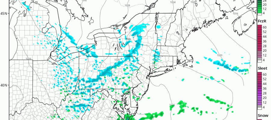
REGIONAL RADAR

LOCAL RADAR NEW YORK CITY

LOCAL RADAR PHILADELPHIA


Once the snow showers are done we will see clearing skies windy and colder conditions. By morning we will be in the teens. Saturday we will see sunshine breezy and very cold temperatures with highs just into the 30s and then down we go to the teens and even some single digits by Sunday morning. Sunday we will see sunshine and some arriving clouds as cold air begins to pull out. Most highs will be in the 30s. There is no change to longer range view with clouds and some sun for Monday with highs in the upper 40s to lower 50s and then showers and maybe a thunderstorm on Tuesday with highs in the 50s to near 60.
This cold shot like the others this winter is short and transient and long range weather models are pointing to above average temperatures for the second half of the month.
 GET JOE A CIGAR IF YOU LIKE

SNOW REMOVAL COMPANIES FOR YOUR WINTER NEEDS
LONG ISLAND ROCKLAND COUNTY Connecticut

![]()

ROCKLAND COUNTY TRI STATE SNOW REMOVAL JOHNSTOWN PA


FiOS1 News Weather Forecast For Long Island
FiOS1 News Weather Forecast For New Jersey
FiOS1 News Weather Forecast For Hudson Valley
NATIONAL WEATHER SERVICE SNOW FORECASTS
LATEST JOESTRADAMUS ON THE LONG RANGE
Weather App

Don’t be without Meteorologist Joe Cioffi’s weather app. It is really a meteorologist app because you get my forecasts and my analysis and not some automated computer generated forecast based on the GFS model. This is why your app forecast changes every 6 hours. It is model driven with no human input at all. It gives you an icon, a temperature and no insight whatsoever.
It is a complete weather app to suit your forecast needs. All the weather information you need is right on your phone. Android or I-phone, use it to keep track of all the latest weather information and forecasts. This weather app is also free of advertising so you don’t have to worry about security issues with your device. An accurate forecast and no worries that your device is being compromised.
Use it in conjunction with my website and my facebook and twitter and you have complete weather coverage of all the latest weather and the long range outlook. The website has been redone and upgraded. Its easy to use and everything is archived so you can see how well Joe does or doesn’t do when it comes to forecasts and outlooks.
Just click on the google play button or the apple store button on the sidebar for my app which is on My Weather Concierge. Download the app for free. Subscribe to my forecasts on an ad free environment for just 99 cents a month.
Get my forecasts in the palm of your hand for less than the cost of a cup of Joe!


