
Showers Thunderstorms Severe Weather Risk Into the Afternoon
Colder Unsettled Weekend

Weather in 5/Joe & Joe Weather Show Latest Podcast
Showers Thunderstorms Severe Weather Risk Into the Afternoon Colder Unsettled Weekend
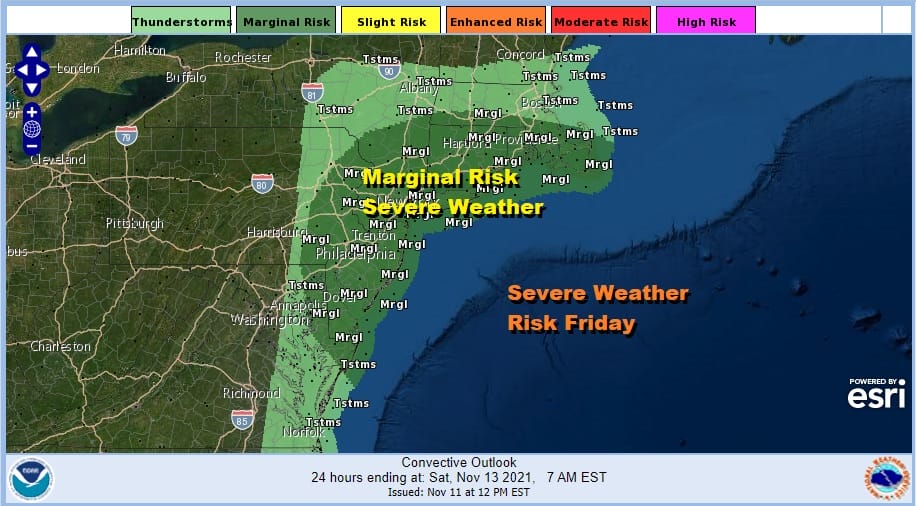
The Storm Prediction Center has a marginal risk for severe weather this morning into this afternoon as a cold front makes progress eastward Bright white clouds on the satellite extend from New York State southward into Virginia. There is also a separate area offshore and along the North Carolina coast that is headed northeastward. We have all the makings for a wet morning into the afternoon and the radars already reflect that.
SATELLITE

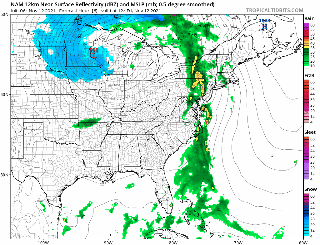
WEATHER RADAR

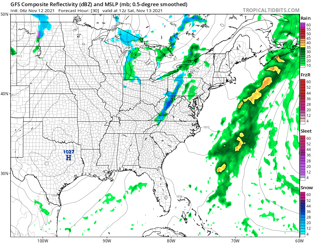
We have one large cluster of rain and thunderstorms in Upstate NY moving northeastward. The southern end of this will fill in quickly this morning and you can look for some heavy downpours from Eastern Pennsylvania to Southern New England. Some thunderstorms will be in the mix and it is possible that one or two cells could become strong or even briefly severe.
This is 4 to 6 hour rain event so weather conditions will start to improve from west to east during this afternoon. Temperatures will be in the 60s. Winds will gust to 30 mph or so from the south especially along the coast before shifting to the northwest and west once the front passes. Skies will clear out tonight if only temporarily with lows by morning mostly in the low to mid 40s.
The weekend remains somewhat unsettled due to two upper troughs that will be moving through. The first one approaches and moves through Saturday afternoon and evening so while we might see some sun to start off Saturday morning it wll cloud over rather quickly and you can look for some scattered showers in the afternoon and early evening. Not everyone will see these showers. Highs will be in the 50s. Colder air follows the upper trough for Sunday which will be a day of clouds and sun with highs in the 40s to around 50. Another upper trough approaches Sunday night into Monday morning with some rain showers. Well inland in Northern Pennsylvania northeastward to Upstate NY and Central and Northern New England we could see some wet snow especially in elevated areas. Once that trough passes it will be breezy and cold Monday with highs just in the 40s and then down to the upper 20s to mid 30s Tuesday morning. Tuesday look for sunshine and cold conditions with highs in the 40s. We warm up a bit Wednesday into Thursday and then the next cold front arrives at the end of next week.
BE SURE TO DOWNLOAD THE FREE METEOROLOGIST JOE CIOFFI WEATHER APP &
ANGRY BEN’S FREE WEATHER APP “THE ANGRY WEATHERMAN!

MANY THANKS TO TROPICAL TIDBITS & F5 WEATHER FOR THE USE OF MAPS
Please note that with regards to any severe weather, tropical storms, or hurricanes, should a storm be threatening, please consult your local National Weather Service office or your local government officials about what action you should be taking to protect life and property.


