
Severe Weather This Afternoon Low Humidity Thursday Into Saturday

Weather in 5/Joe & Joe Weather Show Latest Podcast
Severe Weather This Afternoon Low Humidity Thursday Into Saturday
This is the last humid day of the week and it should also be the last day that we have to deal with the wildfire smoke. A cold front and an upper trough will put and end to all that later this afternoon but it comes with the potential for severe weather as per the Storm Prediction Center.

These storms are likely to develop in the early to mid afternoon hours given the position of the front this morning in Central NY. We will also catch these storms in the development stages which often times mean they can be very active and rather intense. Winds of 50 knots or higher and hail are possible as the storms go by.
SATELLITE

This morning at least weather should be quiet as daytime heating and some sunshine take temperatures inot the 80s before the thunderstorms arrive. Keep a close eye on radars after lunch time to follow the progress of these storms.
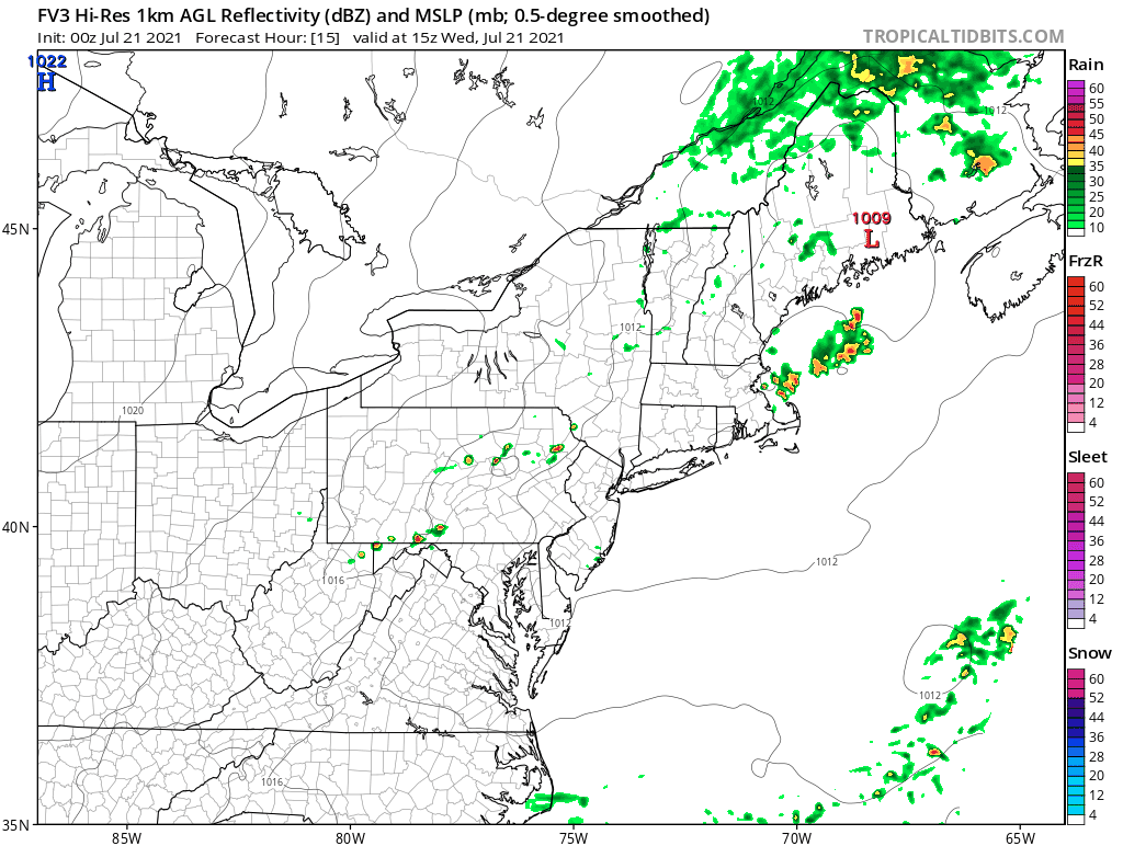
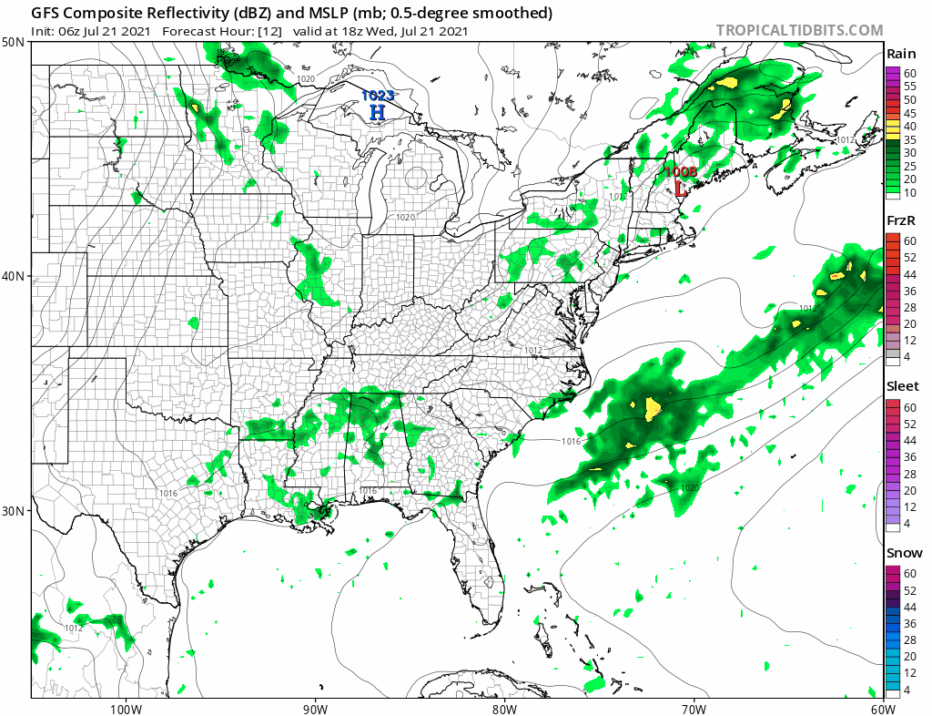
WEATHER RADAR


As usual the very short range weather models are rather useless here since they all have different views on timing and just how active the front will be. The FV-3 model which lately has been the best of a bad bunch has the most bullish view so I would view this as a worst case scenario for this afternoon.
Once the storms are done we are on to what we have been waiting for and that is a fresh clean air mass from Canada. Skies will clear tonight with lows in the 60s. Humidity levels will drop rather quickly and we set up for some nice dry weather Thursday into Saturday. Look for sunshine Thursday and Friday though there could be some patchy clouds. Highs will be in the low to mid 80s both days. Most importantly the dew points will be down in the 50s making it feel terrific.
Thanks to an upper trough hanging along the coast we will hold on to the low humidity into Saturday though a warm front will be heading our way from the west. Look for sunshine giving way to some high clouds later in the day. Highs Saturday should be in the low to mid 80s though it will still be reasonably comfortable. The warm front passes late Saturday night into Sunday morning with some showers or perhaps a thunderstorm. Then we transition to warm and humid conditions for Sunday with some sunshine. There is the chance for a late day shower or thunderstorm. Highs will be in the 80s. Overall the weekend will be okay despite the interruptions late Saturday early Sunday. Saturday will be the better of the two weekend days due to the lower humidty.
BE SURE TO DOWNLOAD THE FREE METEOROLOGIST JOE CIOFFI WEATHER APP &
ANGRY BEN’S FREE WEATHER APP “THE ANGRY WEATHERMAN!

MANY THANKS TO TROPICAL TIDBITS & F5 WEATHER FOR THE USE OF MAPS
Please note that with regards to any severe weather, tropical storms, or hurricanes, should a storm be threatening, please consult your local National Weather Service office or your local government officials about what action you should be taking to protect life and property.


