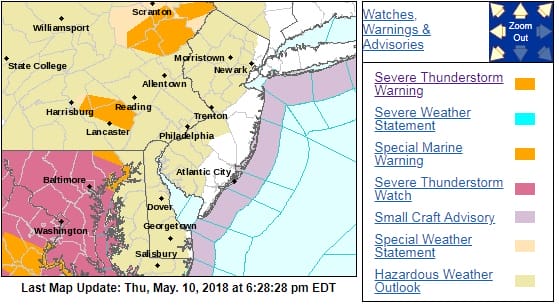
Severe Thunderstorm Warning Northeastern Pennsylvania
The National Weather Service in Mount Holly NJ has issued a

* Severe Thunderstorm Warning for...
  Carbon County in northeastern Pennsylvania...
  Monroe County in northeastern Pennsylvania...

* Until 700 PM EDT.

* At 617 PM EDT, severe thunderstorms were located along a line
  extending from Bear Creek Village to near White Haven to near
  Hazleton, moving east at 35 mph.

  HAZARD...60 mph wind gusts and quarter size hail.

  SOURCE...Radar indicated.

  IMPACT...Minor damage to vehicles is possible. Wind damage to
           roofs, siding, trees, and power lines is possible.

* Locations impacted include...
  Mount Pocono, East Stroudsburg, Tobyhanna, Jim Thorpe, Wind Gap,
  Weatherly, Stormville, Werry Lake, Pocono Pines, Lake Harmony,
  Skytop, Tannersville, Long Pond, Kresgeville, Sun Valley, Reeders,
  Beltzville State Park, Saylorsburg, McMichael and Canadensis.

PRECAUTIONARY/PREPAREDNESS ACTIONS...

For your protection move to an interior room on the lowest floor of a
building.

In addition to large hail and damaging winds, frequent cloud to
ground lightning is occurring with this storm. Move indoors
immediately. Remember, if you can hear thunder, you are close enough
to be struck by lightning.


FiOS1 News Weather Forecast For Long Island
FiOS1 News Weather Forecast For New Jersey
FiOS1 News Weather Forecast For Hudson Valley
NATIONAL WEATHER SERVICE SNOW FORECASTS
LATEST JOESTRADAMUS ON THE LONG RANGE