Rain Snow Showers Friday Snow Risks Rise For Sunday

Weather in 5/Joe & Joe Weather Show Latest Podcast
Rain Snow Showers Friday Snow Risks Rise For Sunday
Before we discuss the Sunday system let us acknowledge that we had a nice day today with sunshine and temperatures in the upper 30s to near 40 which felt good and it did a little snow melting which is even better. Tonight we look to the west where clouds from a winter storm and cold front head our way. Temperatures overnight probably won’t fall much with lows in the upper 20s to mid 30s.
SATELLITE

The new F5 Weather regional radar centered on NYC isn’t showing much but the Mid Atlantic regional radar is starting to pick up on showers coming into range in Ohio and points south. That is from the cold front that gets here Friday.
F5 WEATHER RADARS

The energy from the storm goes to our north leaving us with a relatively weak cold front. There could be some scattered rain or snow showers Friday morning. The snow showers inland could whiten the ground up in spots but all in all this doesn’t produce much. The front passes. We could see some improvement in the afternoon with temperatures into the 40s before falling off tomorrow night. Saturday looks like a nice day with sunshine but some clouds will arrive later in the day. Highs will be back in the 30s.

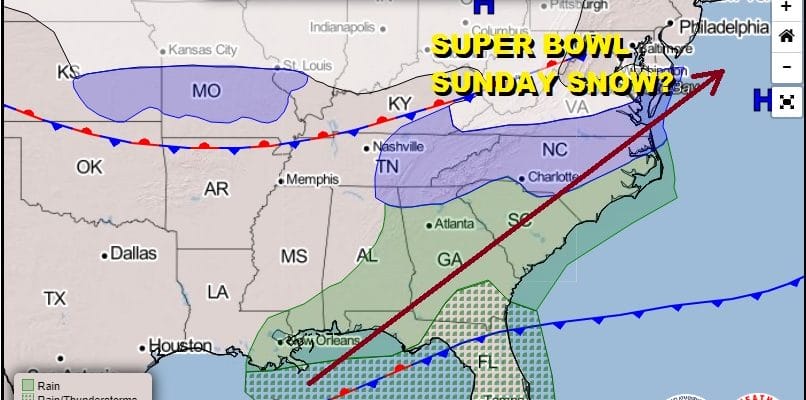
The NAM and other models continue to get more aggressive with every run. The latest above would suggest that a 3-6/4-8 inch snowfall is possible in areas from Eastern Pennsylvania to Southern New England with the highest amounts as you go south and east and lower as you head north and west. We will continue to watch the global models if they also continue to become more aggressive with every run. This storm is different from the last one in that we are not dealing with a slow moving upper air system. This will be an 8 to 10 hour event late Saturday night into Sunday afternoon. Very cold air will be with us for much of next week and we will likely see other snow chances down the road.
My early call snow forecast map is up on my subscription platform on Patreon.
BE SURE TO DOWNLOAD THE FREE METEOROLOGIST JOE CIOFFI WEATHER APP &
ANGRY BEN’S FREE WEATHER APP “THE ANGRY WEATHERMAN!
MANY THANKS TO TROPICAL TIDBITS & F5 WEATHER FOR THE USE OF MAPS
Please note that with regards to any severe weather, tropical storms, or hurricanes, should a storm be threatening, please consult your local National Weather Service office or your local government officials about what action you should be taking to protect life and property.


