
Rain Over Cool But Mostly Dry Week Ahead As Below Average Pattern Continues

Weather in 5/Joe & Joe Weather Show Latest Podcast
Rain Over Cool But Mostly Dry Week Ahead As Below Average Pattern Continues
Our weather system that brought rain yesterday and last night has now moved to the northeast and this should allow weather conditions to slowly improve today. We do have lots of leftover clouds around though there is dry air trying to mix in from the north. Some sunshine has developed in a few areas we see this trend continuing for the rest of the day. It is on the cool side of normal which will be the weather theme for this entire week. Highs will be mostly in the 60s.
SATELLITE

Skies tonight should be partly to mostly clear with a bit of a breeze. Overnight lows will be mostly in the 40s. Tuesday we will start with some sunshine but we have a strong upper trough dropping southward from Eastern Canada. We have seen this play before and you can look for clouds to develop as the day wears on.
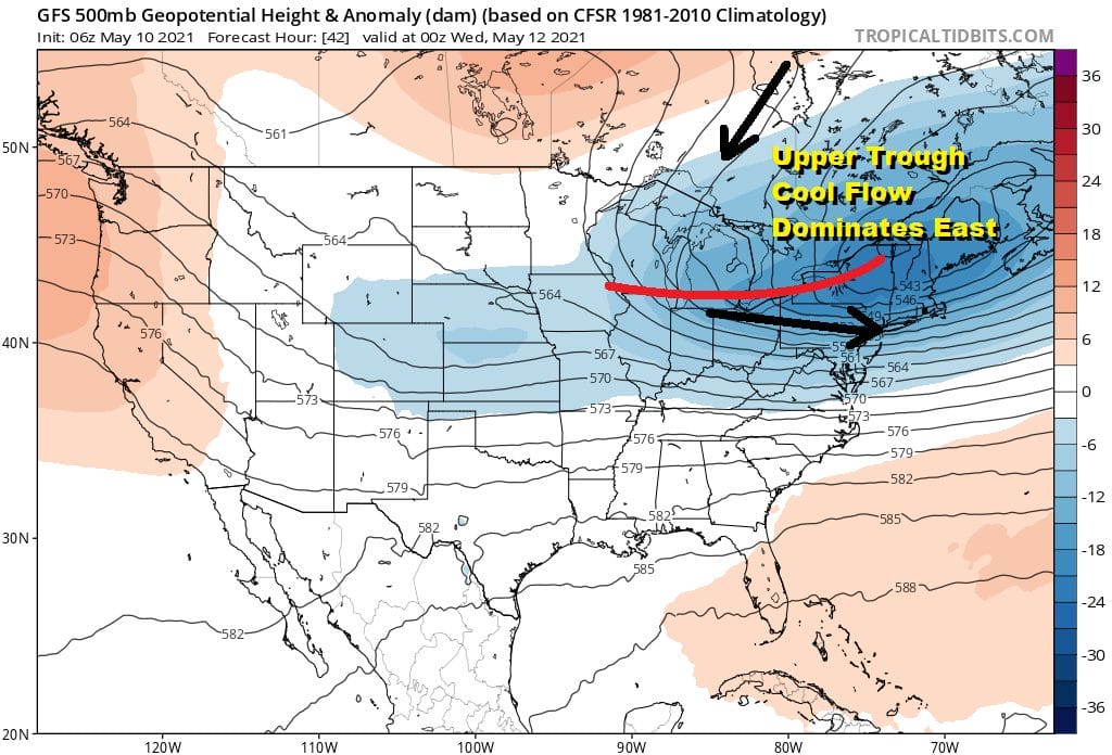
There could be a few widely scattered showers as the upper trough goes by. Highs Tuesday will be in the low to mid 60s. A cold high to the northwest is going to be very slowly building in for the rest of the week. This means it should be dry with a fair amount of sunshine beginning Wednesday. Highs will be in the 60s. Nights by the way will see lows in the upper 30s to mid 40s. We should stay above levels that would produce a frost but those of you in some inland valleys should pay a little closer attention in case we see wind drop off locally and bring ground temperatures down closer to 32.
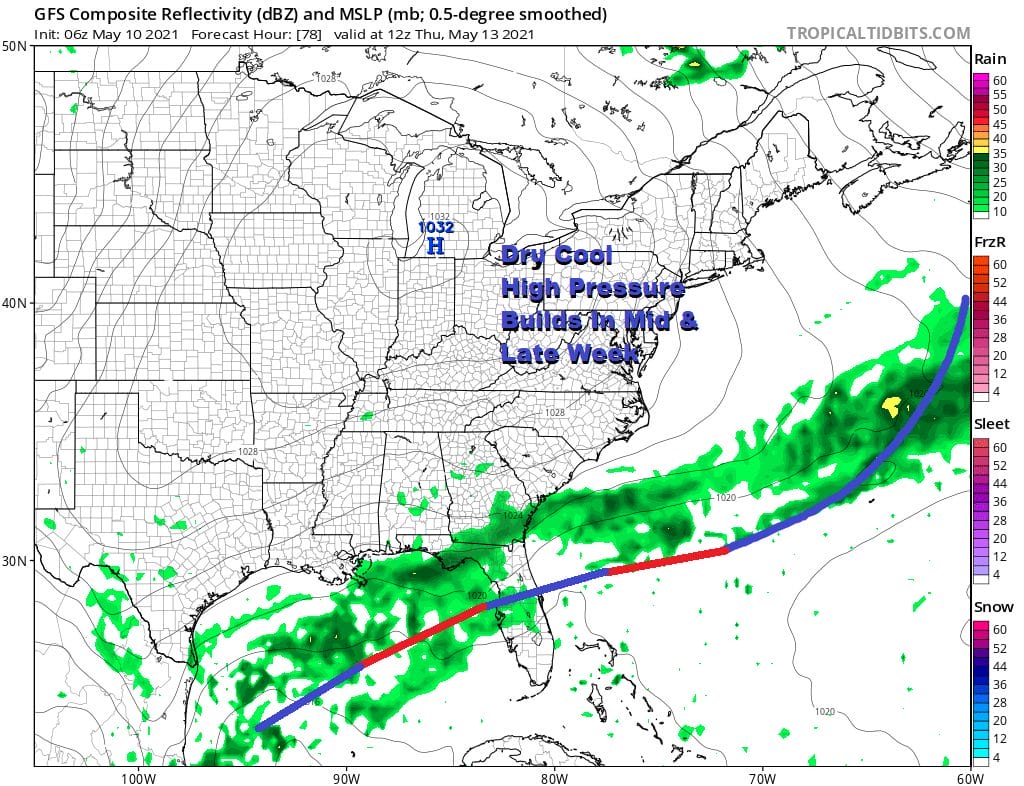
This is a big high and it will take a few days to move east so we should be dry with sunshine for Thursday and Friday. Highs will be in the 60s. The weekend coming up looks dry and temperatures should edge a little higher with readings perhaps reaching into the 70s. Another upper trough dropping down from Eastern Canada could trigger a few showers late Sunday. This is a very early look here. As far as a warm up for a few days next week, this will depend on the position of the high and any back door front issues. We will address those later today on our Weather in 10 Video on Patreon.

BE SURE TO DOWNLOAD THE FREE METEOROLOGIST JOE CIOFFI WEATHER APP &
ANGRY BEN’S FREE WEATHER APP “THE ANGRY WEATHERMAN!
MANY THANKS TO TROPICAL TIDBITS FOR THE USE OF MAPS
Please note that with regards to any severe weather, tropical storms, or hurricanes, should a storm be threatening, please consult your local National Weather Service office or your local government officials about what action you should be taking to protect life and property.


