Pattern in Early Autumn Mode Rain Ends Later Today
Nice Tuesday Through Friday,
Subtropical Storm Possible Late Week Southeast US

Pattern in Early Autumn Mode Rain Ends Later Today
Nice Tuesday Through Friday,
Subtropical Storm Possible Late Week Southeast US
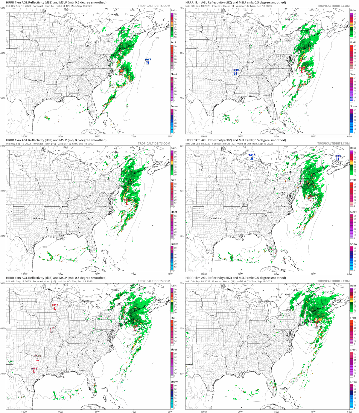
Summer is down to a handful of days but we have seen the atmosphere take on a decidedly fall like look. A front along the coast and a wave developing on it is something we might see later in October but the set has come early. We have rain on the radar and that should last into this afternoon before tapering off from southwest to northeast.
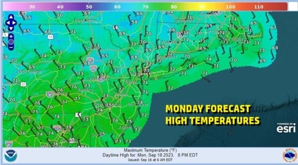
The heaviest rain will fall in Southeastern New England where 2 or more inches is possible. Elsewhere we will see an additional quarter to half an inch before the rain ends and then we will have leftover clouds. While it is raining temperatures will be in the 60s but we could nudge up into the 70s this afternoon once the rain comes to an end. Skies will clear tonight with most lows in the 50s.
SATELLITE WITH LIGHTNING STRIKES
WEATHER RADAR
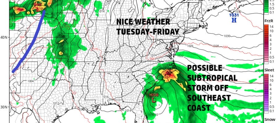
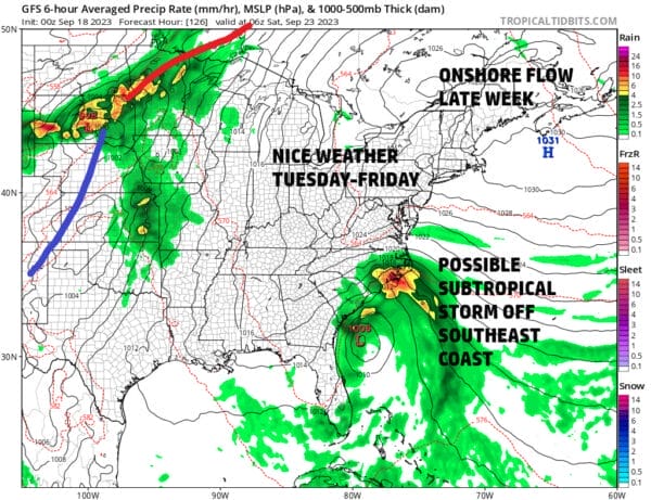
Tuesday we will start what should be a nice 4 day stretch of weather. We are looking at sunshine as high pressure builds across Southeastern Canada and the Northeast. This high will be the dominant weather feature all week long. It will be dry through Friday. Temperatures will be seasonal for this time of year with daytime highs in the 70s and nighttime lows in the 50s along the coast and warmer urban locations and 40s inland.
The large high pressure area will move of the coast of New England Friday and set up a rather strong onshore flow south across the Mid Atlantic and Southeast US. Low pressure will develop off the east coast of Florida late Friday or Saturday and press into that high to the north. This will not only create an area of rain for the Southeast US coast but there is a possibilty that the developing low could become a subtropical depression or a subtropical storm.
This system whether it is tropical or not, will likley push northward up the coast this coming weekend. Saturday we will see rain possibly move up into the Mid Atlantic states and then into the Northeast Saturday night into Sunday. Temperatures over the weekend should be into the 70s Saturday but likely in the 60s Sunday. We will be monitoring the potential for this system as we move through the week.
BE SURE TO DOWNLOAD THE FREE METEOROLOGIST JOE CIOFFI WEATHER APP &
ANGRY BEN’S FREE WEATHER APP “THE ANGRY WEATHERMAN!
MANY THANKS TO TROPICAL TIDBITS FOR THE USE OF MAPS
Please note that with regards to any severe weather, tropical storms, or hurricanes, should a storm be threatening, please consult your local National Weather Service office or your local government officials about what action you should be taking to protect life and property.
(Amazon is an affilate of Meteorologist Joe Cioffi & earns commissions on sales.)

