
USE THE COUPON CODE “summer2026” AND GET 10 PERCENT OFF ON ANY PURCHASE

Nor’easter This Weekend Delaware New Jersey
New York City Long Island & Nearby Areas
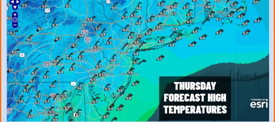
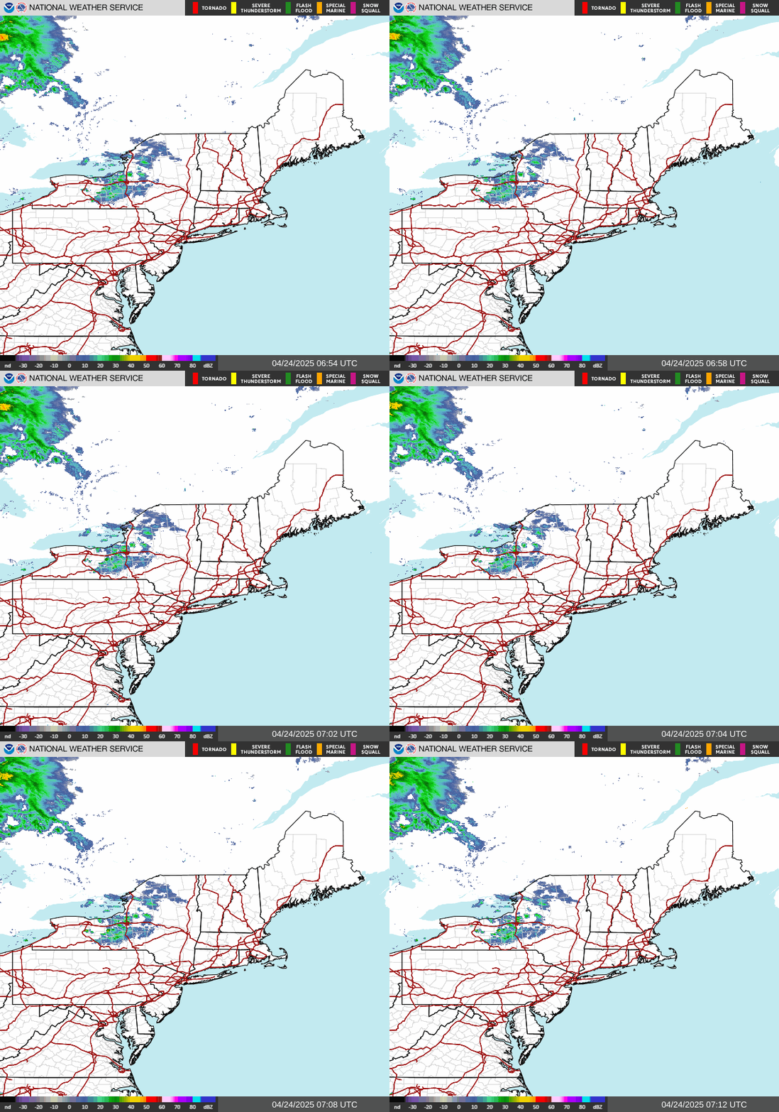
We are on the edge of some high clouds today from the developing coastal storm southeast of the North Carolina coast. It is not well organized as yet and there are no issues today other than breezy conditions especially near the coast. The satellite loops also show mostly sunny skies mostly from Northern New Jersey north and east. High clouds and sunshine will continue for the rest of the day with temperatures mostly in the cool 60s. Radars are nice and quiet and will remain so through tonight. Friday morning lows will be in the 50s with clouds increasing some overnight.
SATELLITE WITH LIGHTNING STRIKES

WEATHER RADAR
Weather conditions will deteriorate Friday as clouds continue to increase and thicken up. The offshore storm strengthens. Initially the low moves northeast but a plunging upper air storm system over Virginia will cause the surface storm to hook to the left toward the coast. Eventually the upper low will capture the surface low making for a vertical storm system at all levels. Models that had the low further offshore have now caught on the European and Icon model idea of a surface low well to the west. Coastal New Jersey and Long Island, especially Eastern Long Island will bear the brunt of this storm system.
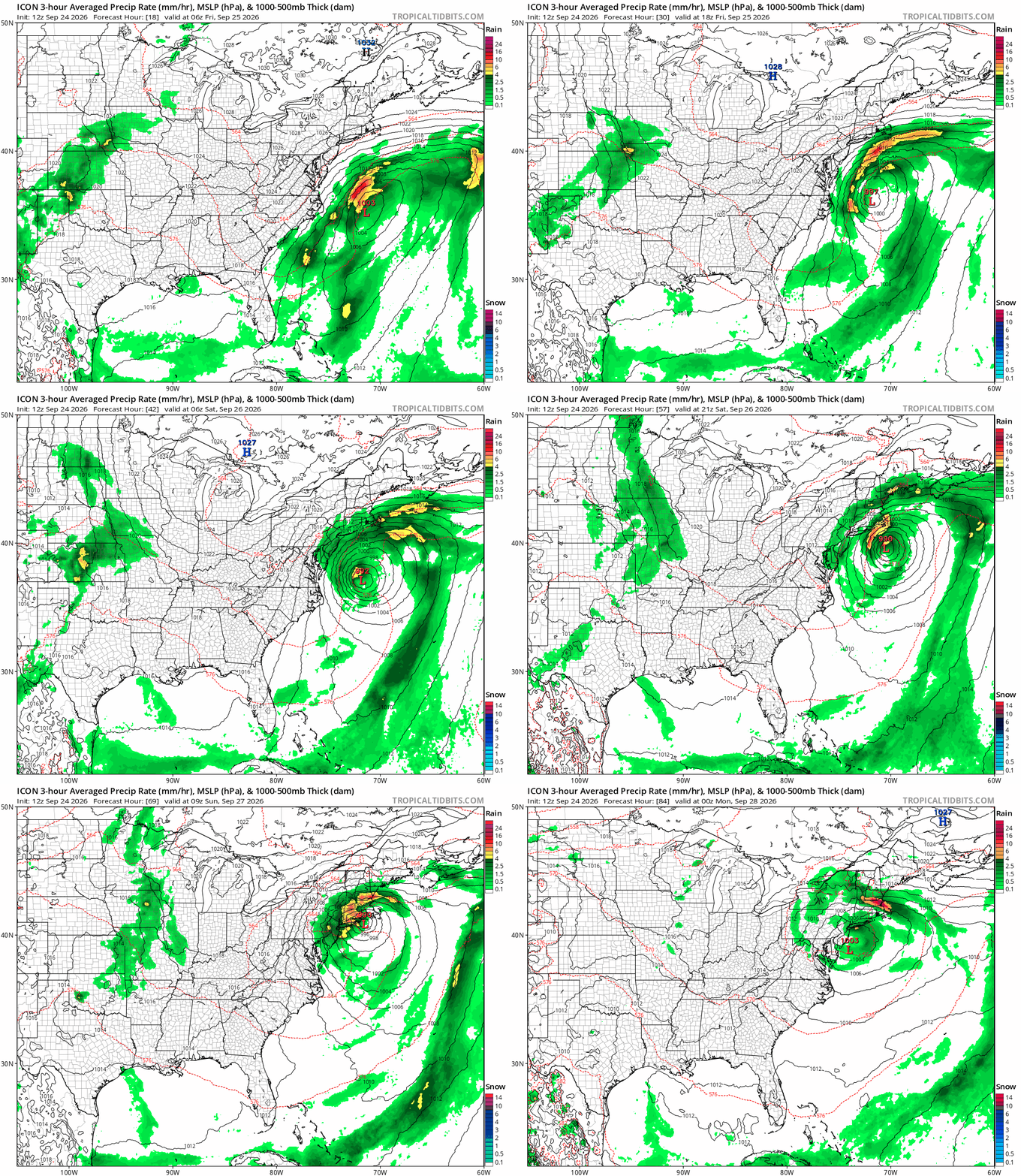
The first bands of rain will arrive Friday afternoon coming in from the southeast so Long Island and Southeastern New England see rain first and then it spreads westward into and through New Jersey. Winds will begin to pick up again Friday with gusts to 40 mph or more along the coast though the gusts inland will be somewhat lower. Then as we move into Saturday we will be in the thick of it. Rain bands will continue to sweep inland from the east so there will be some rain free periods between bands. Coastal winds Saturday night will be gusting over 50 mph during the day Saturday and overnight into Sunday morning. Coastal flooding at high tide is expected with widespread moderate coastal flooding and some areas seeing major coastal flooding at times of high tide. Days of northeast winds will be trapping water in bays making each tide higher than the previous one. Coupled with a full moon Saturday and just coming off the autumnal equinox means several or more high tide cycles to get through. This storm system will weaken Sunday while the center makes a loop offshore and then exits Monday. Winds will likely subside some as Sunday wears on and we should see some improvement in sky conditions Monday. We will have more on this tonight on the Joe & Joe Weather Show Podcast at 7:35pm We will also be adding shows Friday at 8:45pm and Saturday at 7:30pm.
MANY THANKS TO TROPICAL TIDBITS FOR THE USE OF MAPS
Please note that with regards to any severe weather, tropical storms, or hurricanes, should a storm be threatening, please consult your local National Weather Service office or your local government officials about what action you should be taking to protect life and property.
