

USE THE COUPON CODE “summer2026” AND GET 10 PERCENT OFF ON ANY PURCHASE

Gusty Winds Coastal Flooding Next Several Days
Ahead of Weekend Offshore Coastal Storm
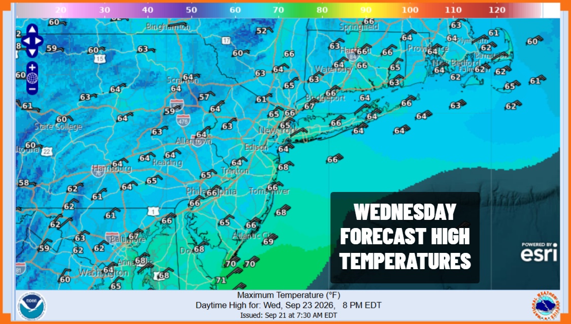
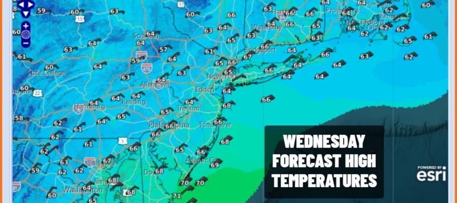
The strong high in Eastern Canada is building southward and dry air has already taken out the rain that was in South Jersey this morning. Look for sunshine for the rest of today especially from the northern half of New Jersey, Northeast Pennsylvania, New York, & Long Island north and east. To the south look for cloudiness to decrease as the afternoon wears on. Temperatures today will be mostly in the low to mid 60s coupled with a gusty northeast wind especially along the coast. Speaking of the coast tides are going to be running high for the rest of the week and into the weekend so minor to moderate coastal flooding is possible from the coastal counties of New Jersey southward beginning today and then spreading to other areas over the next few days.
SATELLITE WITH LIGHTNING STRIKES

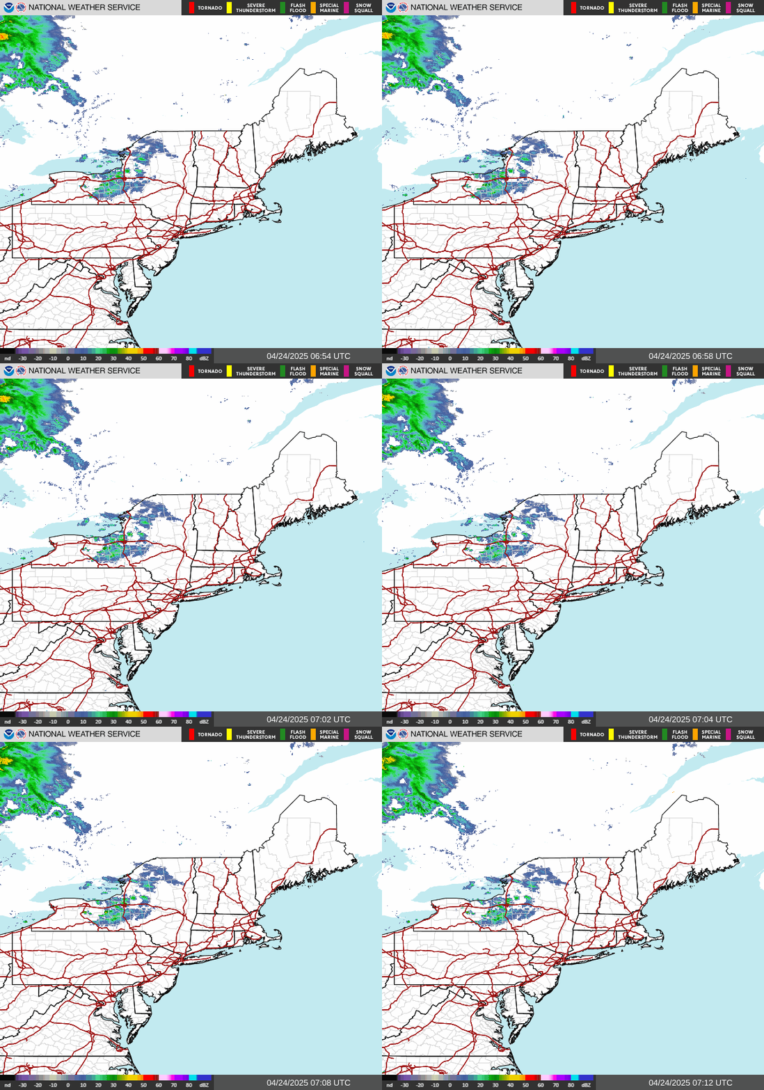
WEATHER RADAR
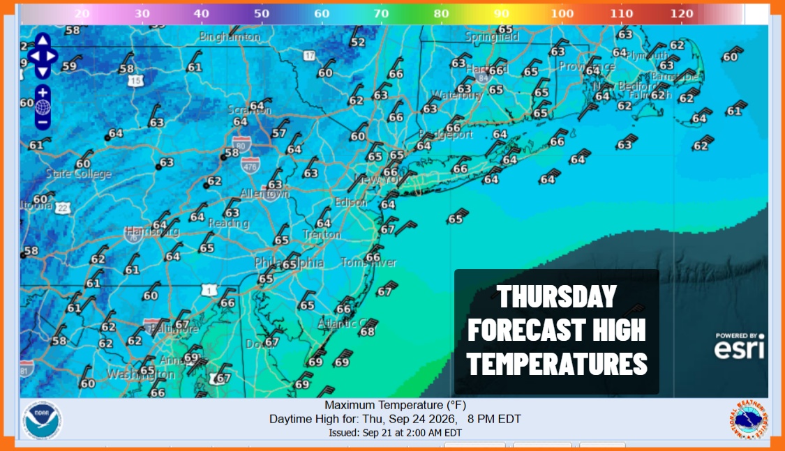
In the meantime our coastal storm is starting to develop east of the Carolinas and coupled with the strong high to the north, expect breezy conditions to continue over the next few days and becoming downright windy at times along the coast with gusts in the 30 to 40 mph range. Skies should be partially clear tonight with lows in the 50s. Thursday should be a mostly sunny day for most of the area with highs again holding in the 60s with gusty winds.
Our storm system will continue to organized and intensify east of the Virginia coast through Friday and we will likely see some clouds starting to come back westward across Southern New England and Long Island and then into New Jersey as the day wears on. Breezy conditions will continue with highs Friday in the 60s.
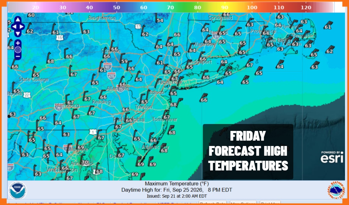
Many of the models seem to converging on a track offshore from off the Virginia coast to somewhere between Block Island and Nantucket over the weekend. A track like this would probably spare the worst of the this for New Jersey though we expect to see rain backing in from the east late Friday night across Long Island to New York City and into New Jersey Saturday.
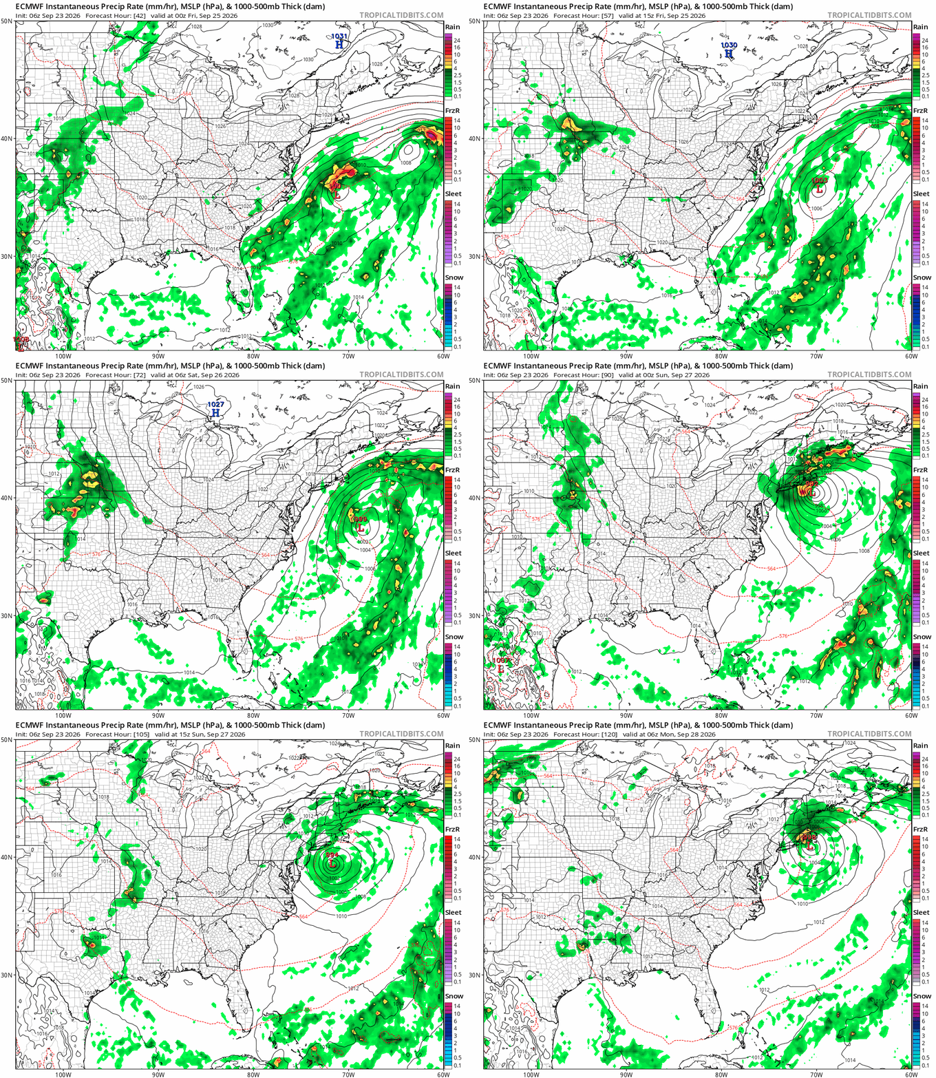
The stormiest conditions will likely be from the eastern half of Long Island to Southeast New England where we expect the worst of it as far as wind and rain is concerned. A strong upper low could cause the storm to loop back westward Saturday night and Sunday staying offshore. This track also means that winds over New Jersey and Long Island will turn more north which could limit coastal flooding to some extent. We still need to examine models to fine tune this outlook a bit more as the event gets closer. It looks like a nasty weekend with strong gusty winds and waves of rain coming in from the east. We will continue to monitor and adjust the outlook accordingly as need.
MANY THANKS TO TROPICAL TIDBITS FOR THE USE OF MAPS
Please note that with regards to any severe weather, tropical storms, or hurricanes, should a storm be threatening, please consult your local National Weather Service office or your local government officials about what action you should be taking to protect life and property.
