

USE THE COUPON CODE “summer2026” AND GET 10 PERCENT OFF ON ANY PURCHASE

Strong High Building Southward Drying Out
Breezy Conditions Developing Wednesday
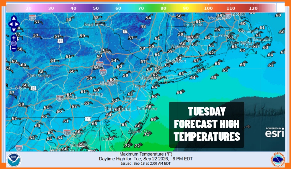
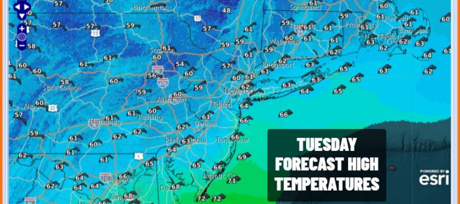
Strong high pressure is beginning to build in Eastern Canada and New England. It is forcing dry air to drain southward and we can already see this on satellite loops as areas from Northern New Jersey and New York City northward breaking out into sunshine. Clouds continue to the south along with some patchy light rain or drizzle but we will see this also shift southward this afternoon albeit slowly. Temperatures are going to be topping out in the low to mid 60s today with a northeast breeze picking up as the day wears on.
SATELLITE WITH LIGHTNING STRIKES

WEATHER RADAR

The strong high to the north is going to dominate the weather picture for the rest of the week and into the weekend and it is also going to be a big player with regards to a developing storm system off the Southeast US Coast. It will also help to determine what exactly happens with this weather system this weekend. In the meantime we have gusty winds especially along the coast for the next few days. Skies will be partially clear tonight though there might be some low clouds along coastal areas. Lows tonight will be in the 50s.
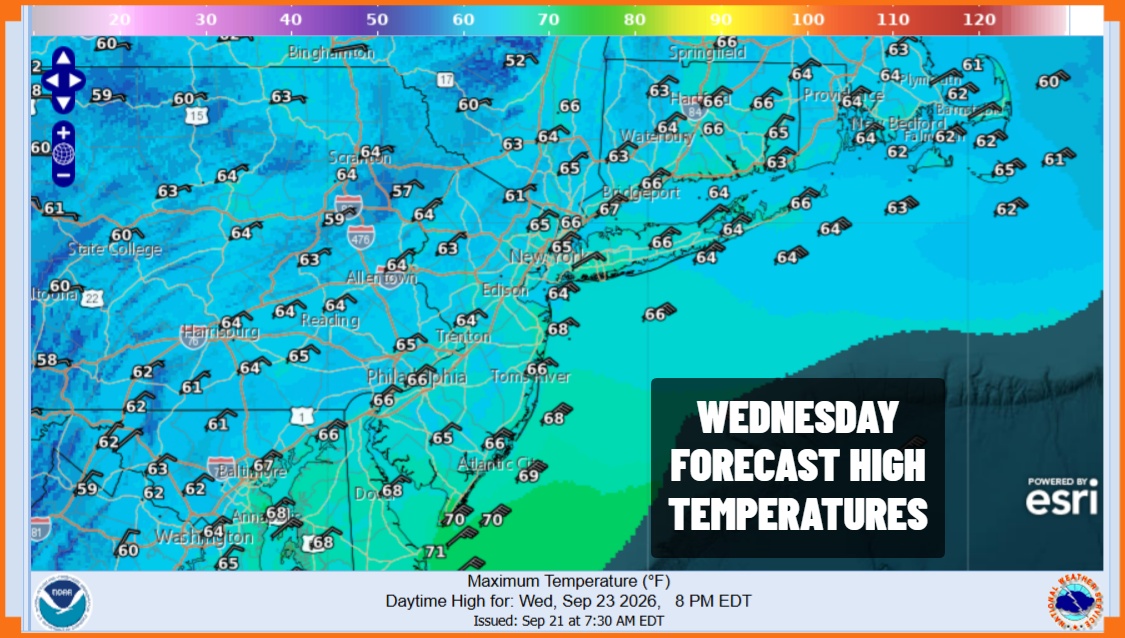
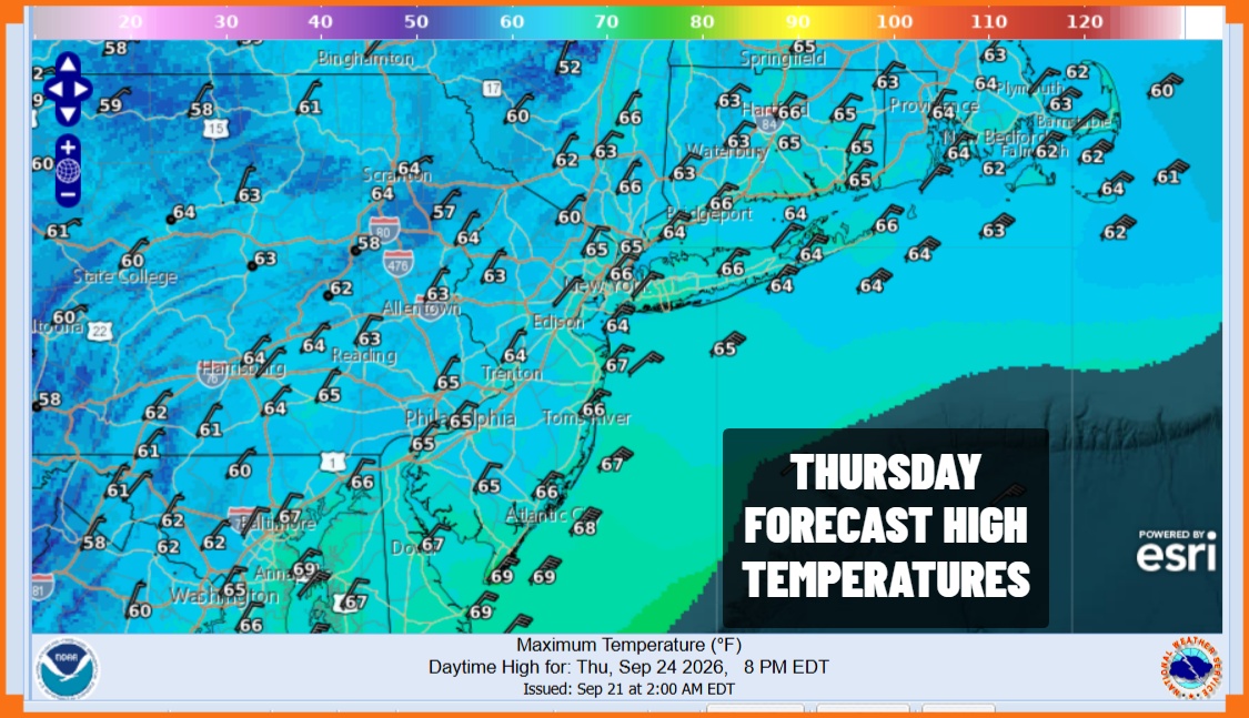
Wednesday we will see a mix of sun and clouds with a gusty wind along the coast. Temperatures Wednesday will be in the 60s. There may be more clouds and less sun as you head south to Southern New Jersey and the other way around when you go north of New York City. The same holds for Thursday with high temperatures again in the 60s along with a gusty northeast wind especially along the coast.
Friday looks to be dry again with no rain but with more clouds and highs in the 60s. Attention then will turn to the offshore coastal storm and how it behaves and tracks over the weekend. We continue to watch models go back and forth, struggling with all the upper air dynamics and how this low evolves. We continue to see the European model paint a more aggressive picture of rainy and very windy conditions over the weekend with coastal flooding issues. On the other side of this we have models showing the system far enough east to spare is big issues but not all issues. It may be another day or two before models come together on one solution.
MANY THANKS TO TROPICAL TIDBITS FOR THE USE OF MAPS
Please note that with regards to any severe weather, tropical storms, or hurricanes, should a storm be threatening, please consult your local National Weather Service office or your local government officials about what action you should be taking to protect life and property.
