Nice Tuesday Chance Thunderstorms Late Wednesday
Nice Dry Seasonal Weather Finishes Week
Weather in 5/Joe & Joe Weather Show Latest Podcast
Nice Tuesday Chance Thunderstorms Late Wednesday Nice Dry Seasonal Weather Finishes Week
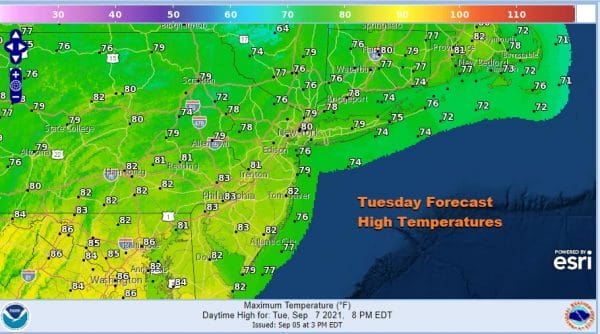
We are setting up for nice day of weather across the region from Eastern Pennsylvania to Southern New England. Sunny skies are forecast for much if not all of the day as a weak high builds in. Temperatures will make to the upper 70s and lower 80s. Humidity levels will be low. We continue to reap the benefits of a northwest flow from Canada set up by the remnants of Ida and re-enforced by Sunday’s cold front. That pattern will hold for the next week or so meaning no long duration hot spells anytime soon.
SATELLITE
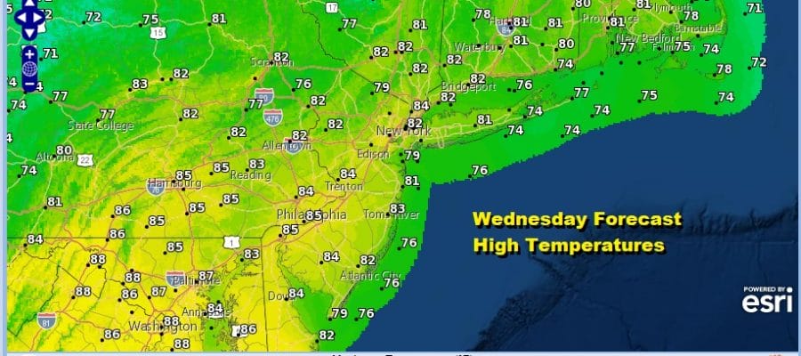
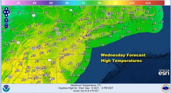
The satellite picture and loops don’t show much in the way of clouds and the radars are nice and quiet for today, tonight and much of Wednesday. Under mainly clear skies tonight most lows will be in the 60s with 50s in some cooler inland spots. Wednesday will be the warmest day of the week with sunshine taking highs into the 80s just about everywhere.
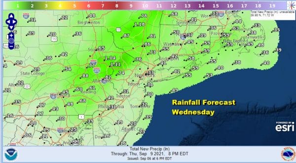
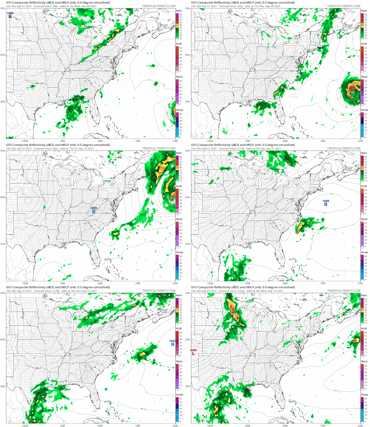
A cold front approaches Wednesday evening and there is the chance for showers and thunderstorms when it goes by but most areas will avoid thunderstorms until after 5 or 6pm. Some scattered cells could develop in the afternoon but the bulk comes after sunset. While this should be a narrow moving line, remember the ground is still saturated and a heavier thunderstorm could set off some local flooding in the usual suspect spots. I’m covering for this possibility just in case a heavier cell develops but we don’t have tropical forcing of moisture this time around nor do we have high dew points in the 70s so that should help the cause in keeping any storms in check. Rainfall amounts around an inch are possible well inland north and west of the coast but most areas are looking at about a quarter to at most a half inch of rain.
Once the front passes it moves well offshore and it helps to take Hurricane Larry northward just east of Bermuda and then turn it to the northeast leaving it a fish storm as far as the East Coast of the US is concerned. Behind the front is another dry cool air mass bringing sunshine and low humidity back for Thursday and Friday with highs both days in the 70s.
The weekend should be mostly dry with sunshine Saturday and no worse than partly sunny Sunday. Highs will reach the mid 70s to near 80 Saturday and upper 70s and lower 80s Sunday before another cold front pushes through late in the day Sunday. Right now the front looks to be on the dry side and we will leave any mention of showers out of the forecast for the time being. The northwest flow from Canada stays with us on and off for the next couple of weeks which means cold fronts coming through every 2 or 3 days with not much in the way of moisture with each one which is good news. Also for now it seems the tropics are taking a bit of a break.
BE SURE TO DOWNLOAD THE FREE METEOROLOGIST JOE CIOFFI WEATHER APP &
ANGRY BEN’S FREE WEATHER APP “THE ANGRY WEATHERMAN!
MANY THANKS TO TROPICAL TIDBITS & F5 WEATHER FOR THE USE OF MAPS
Please note that with regards to any severe weather, tropical storms, or hurricanes, should a storm be threatening, please consult your local National Weather Service office or your local government officials about what action you should be taking to protect life and property.

