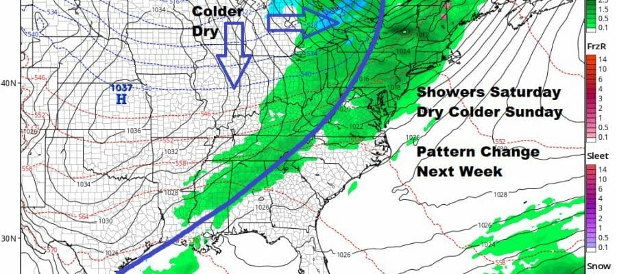
Next Cold Front Brings Showers Wind Saturday Colder Dry Air Sunday
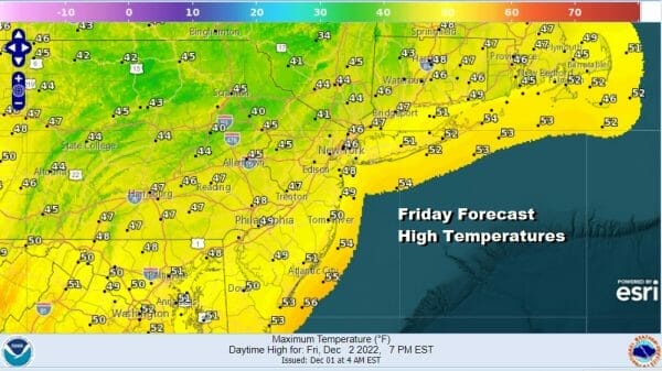
This has been a fast moving active pattern we have been stuck in. Cold shots come in for a day or two and then a cold front comes along, warms it up for a day or so. We get rain and some wind. Then we start the process again. Such is the case going into this weekend as we have the 3 cold front of the week approaching for Saturday. This leaves us with a nice Friday of sunshine and temperatures will reach the mid 40s to around 50 degrees which is about where we should be for this time of year. Satellite loops show Eastern Pennsylvania and Southern New England are mostly in the clear and radars are nice and quiet.
SATELLITE

WEATHER RADAR

Temperatures overnight into Saturday morning will hold in the 30s inland and lower 40s along the coast and warmer urban areas as skies start tonight clear and finish overcast by morning. Then the next cold front nears, the gradient tightens up again and we see showers developing from west to east during the morning and then coming to an end from west to east during the afternoon.

The NAM model has the front reaching the coast around 1pm and the rain comes to an end quickly once the front passes. Winds will pick up and become strong and gusty from the southwest. Winds will gust to 30 to perhaps 40 mph or so but we expect it to be just under wind advisory criteria.
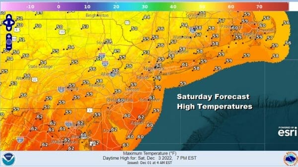
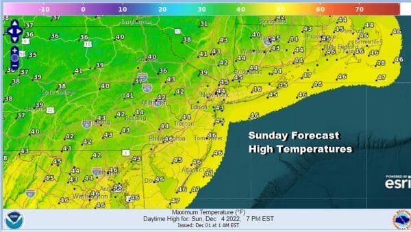
Saturday temperatures will reach the upper 50s and lower 60s in most locations. Winds will shift to the northwest behind the front and we get the next shot of chilly air that will come in Saturday night and Sunday. Sunday itself will be the better weekend day with some sunshine, a gusty breeze, and highs in the 40s.
Pattern change begins next week as Monday will be dry and chilly and one more cold front moves through Wednesday. Blocking develops in the North Atlantic and strengthens later next week so it will change the pattern of fast moving cold fronts, to storm systems that will take more southern routes, depending on the strength of the block.
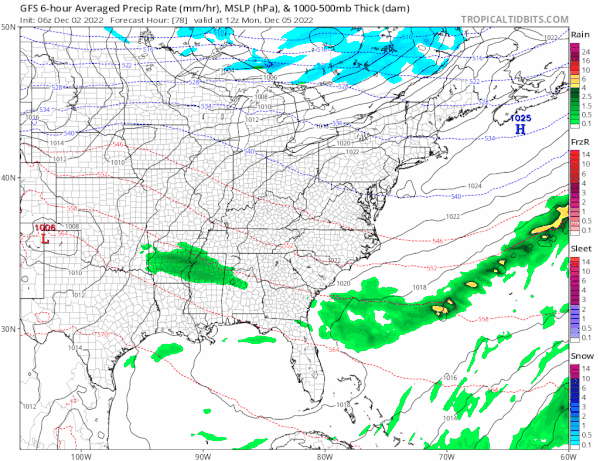
If you are going to see snows in early December the blocking set up helps that cause and models do seem to be hinting at something coming at the end of next week. It is a long ways off yet but something to watch going forward. Tuesday into Wednesday we will see clouds and some rain or showers with the next cold front and then colder air takes over from Canada for the end of next week.
BE SURE TO DOWNLOAD THE FREE METEOROLOGIST JOE CIOFFI WEATHER APP &
ANGRY BEN’S FREE WEATHER APP “THE ANGRY WEATHERMAN!
MANY THANKS TO TROPICAL TIDBITS & F5 WEATHER FOR THE USE OF MAPS
Please note that with regards to any severe weather, tropical storms, or hurricanes, should a storm be threatening, please consult your local National Weather Service office or your local government officials about what action you should be taking to protect life and property.


