New Jersey Severe Weather Risk This Evening Along With Tornado Risk 04/1/2023
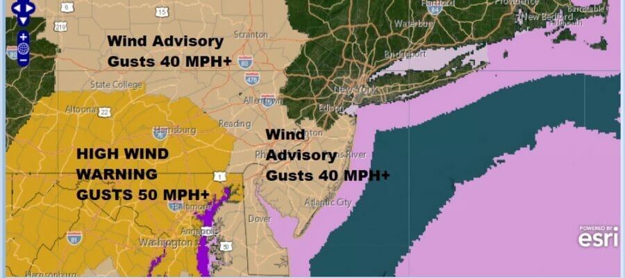
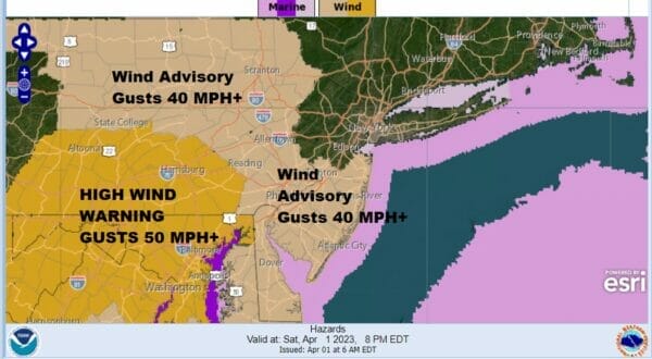
Here is what you can expect over New Jersey today. The day started with rain as a warm front races rapidly eastward. Local radars are showing showery rains moving through. This afternoon we will see sunshine break through the clouds along with gusty winds developing. Wind Advisories are posted for Central and Southern New Jersey this afternoon and tonight with winds gusting to 40 mph.
Sunshine this afternoon will send temperatures soaring into the low and middle 70s giving you the feel of a warm and windy early spring day. However a strong upper trough looms large over Western Pennsylvania and this hook like feature in the atmosphere will move rapidly eastward.
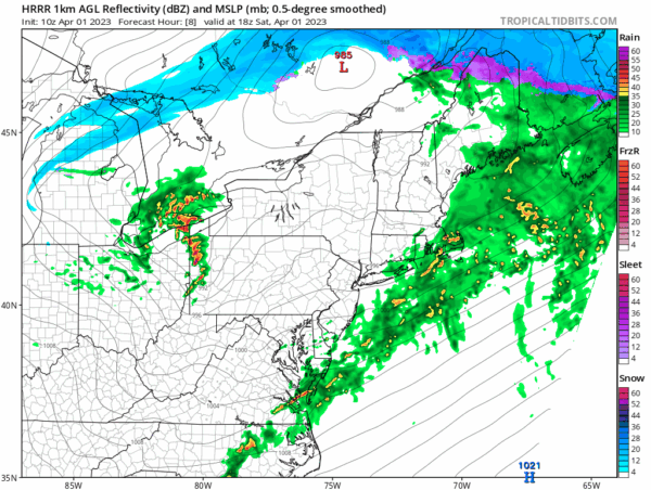
Expect a narrow squall line of thunderstorms to move through arriving at the Pennsylvania New Jeresey border around 6pm or so and exiting the coast around 8pm. The timing could be off by an hour on either side but this system will be flying eastward. The momentum alone will produce gusts of 50 mph or more. Strong upper level winds will mix down and this creates the risk for some rotation developing in stronger cells and that is why we have the risk for tornadoes to develop. Once the line of storms moves offshore, weather conditions will improve quickly tonight though winds will remain rather strong with 40 mph plus gusts into the early morning hours. Sunday we will see sunshine and a gusty wind into the afternoon. Highs will just be into the lower 50s.
SATELLITE
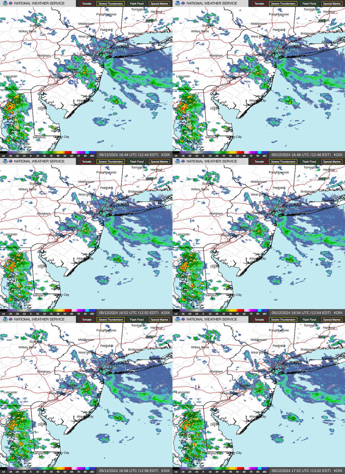
WEATHER RADAR
BE SURE TO DOWNLOAD THE FREE METEOROLOGIST JOE CIOFFI WEATHER APP &
ANGRY BEN’S FREE WEATHER APP “THE ANGRY WEATHERMAN!
MANY THANKS TO TROPICAL TIDBITS & F5 WEATHER FOR THE USE OF MAPS
Please note that with regards to any severe weather, tropical storms, or hurricanes, should a storm be threatening, please consult your local National Weather Service office or your local government officials about what action you should be taking to protect life and property.


