Long Island Cold Sunday Week Ahead Outlook 4-2-2023
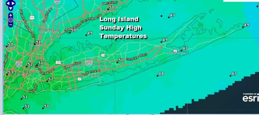
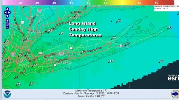
After yesterday’s cold front moved through we are left with a cold Sunday with a bit of a gusty wind into this afternoon. Winds are going to ease late in the day as this quick shot of colder air plays through. Temperatures this afternoon will be topping out in the upper 40s to around 50 degrees which is almost 10 degrees below the average high of upper 50s for early April. Other than some passing clouds we should see a fair amount of sun today. Radars are nice and quiet and there will be no issues from precipitation whatsoever.
SATELLITE
WEATHER RADAR
Tonight will be a cold and mostly clear night with lows in the upper 20s to lower 30s. This quick shot of cold air moves out Monday and Long Island begins a warm up but temperatures will still be running below average. We will see reaching the low 50s to the east and middle to upper 50s to the west and northwest. Sunshine should be with us most of the day and local sea breezes will probably develop along the south shore and over the East End.
There is a weak weather front that will drop into Upstate NY Monday afternoon and evening with some showers there but the front never really makes it much further to the south. Tuesday should be a nice day of sunshine and clouds with highs in the upper 50s and lower 60s. Shower chances will increase later Wednesday into Thursday as another strong low heads to the Great Lakes and a cold front makes its way eastward. Wednesday highs will be in the mid 50s to near 60. Thursday highs will be into the 60s ahead of a cold front and the likelihood we will see some showers and perhaps a thunderstorm as the front passes. We will finish the week dry on Friday. Easter Weekend is looking to be dry and on the chilly side as long as low pressure to the south, stays to the south.
BE SURE TO DOWNLOAD THE FREE METEOROLOGIST JOE CIOFFI WEATHER APP &
ANGRY BEN’S FREE WEATHER APP “THE ANGRY WEATHERMAN!
MANY THANKS TO TROPICAL TIDBITS & F5 WEATHER FOR THE USE OF MAPS
Please note that with regards to any severe weather, tropical storms, or hurricanes, should a storm be threatening, please consult your local National Weather Service office or your local government officials about what action you should be taking to protect life and property.


