Severe Weather Risks This Evening For Long Island Along With Gusty Winds Saturday April 1, 2023

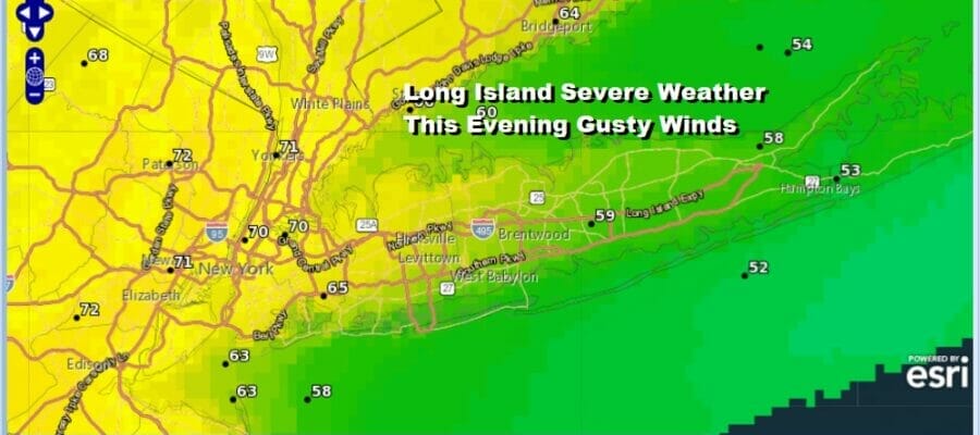
This is going to be a busy weather day for Long Island. It started with rain overnight and this morning, This will transition over into a windy and warmer afternoon as temperatures rise. Highs will reach the mid 60s to near 70 degrees in Western Nassau County and mid 50s to near 60 degrees in Eastern Suffolk County. Southwest winds will pick up and gust to 30 to 40 mph late today. Then we will see the driver for severe weather arrive. An upper trough in Western Pennsylvania will produce a hook like feature with a squall line of thunderstorms. Those thunderstorms will race rapidly eastward and move through Long Island between 7 and 9pm as the loop of the HRRR model shows above. As the storms move through we will likely see some severe cells develop. The Storm Prediction Center has Long Island under a slight risk for severe weather and even shows a 2 percent risk that we could see rotation develop (tornado). This is rare for this time of year but the strength of the upper trough and the rapid movement of the line does lend to that possibility.
SATELLITE

WEATHER RADAR


Once tha front moves out after 9pm weather conditions should improve rather rapidly with clearing skies and a gusty northwest wind overnight. Sunday will be a colder day with gusty winds into the afternoon. We will have a fair amount of sunshine and however and high temperatures should reach back into the lower 50s. Next week starts dry but we could see another threat for showers and thunderstorms midweek.
BE SURE TO DOWNLOAD THE FREE METEOROLOGIST JOE CIOFFI WEATHER APP &
ANGRY BEN’S FREE WEATHER APP “THE ANGRY WEATHERMAN!
MANY THANKS TO TROPICAL TIDBITS & F5 WEATHER FOR THE USE OF MAPS
Please note that with regards to any severe weather, tropical storms, or hurricanes, should a storm be threatening, please consult your local National Weather Service office or your local government officials about what action you should be taking to protect life and property.