
Moving High Pressure In For The Weekend
Moving from the midwest we have high pressure building in for the weekend. Heating systems and your heating oil bill are getting a break this weekend with temperatures averaging about 5 degrees above normal and even the nights, while cold, won’t be that bad. Long Island weather looks good right into Monday as high pressure moves in and rebuilds to the north eventually.

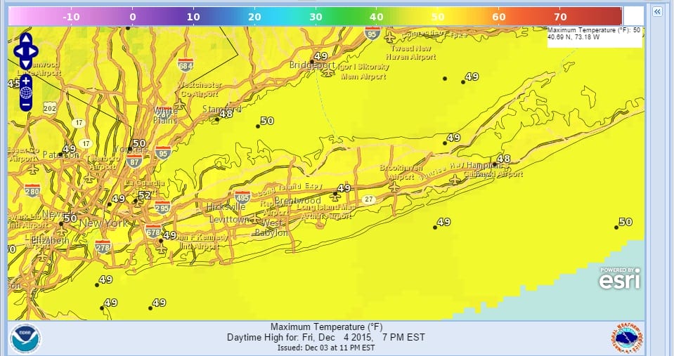
Satellite loop shows a pretty quiet scene from here westward so other than the occasional passing clouds that might come through every now again, we will have sunshine. Temperatures today will reach the upper 40s to around 50 or so.
Both radar areas below will be free and clear of any precipitation right through the weekend. Even the lake effect will be shut off much of the time. This is going to be a perfect weekend to finish up any fall cleanup or perhaps get all your holiday shopping done or at least started. No issues at all.


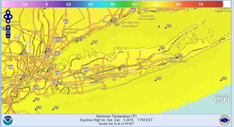
Saturday and Sunday’s highs should be about the same. There really isn’t any super warm air coming up and with high building to the north later Sunday and Monday it will keep the temperatures fairly stable with highs both weekend days in the lower 50s.

Latest models seem to backing away from low pressure effecting the coast on Tuesday. In fact the models build high pressure to the north in Northern Maine and actually bring down some chilly air here Monday night into Tuesday and keeping any rain offshore. We will see if model trends continue to keep the next weather system offshore later today. Enjoy our Friday and do enjoy your weekend.
SHORT RANGE FORECAST FOR NEW YORK NEW JERSEY CONNECTICUT AND PENNSYLVANIA
SNOW CONTINUES IN THE WEST BUT IS LACKING IN THE EAST OVER THE NEXT 10 DAYS…SKIING OUTLOOK
UPDATED WINTER FORECAST FOR 2015-2016