Mostly Quiet Week Ahead No Major Issues

Weather in 5/Joe & Joe Weather Show Latest Podcast
Mostly Quiet Week Ahead No Major Issues

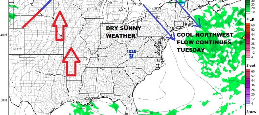
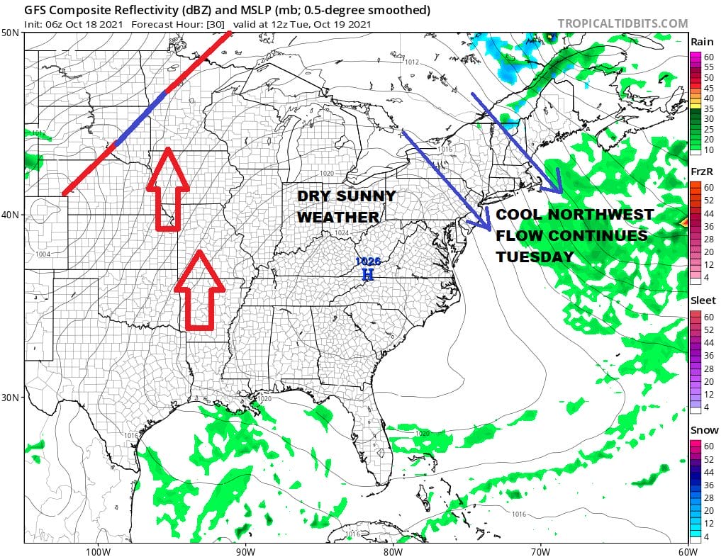
There have been some interesting weather events over the years in October whether it be early snows like in 2011 or Hurricane Sandy in 2012. There is also the Great Halloween Storm of 1991. However for the most part, October is probably the quietest month of the year from the standpoint of storms in the Northeast and Northern Mid Atlantic and it is also for most areas the driest month. That is going to play out this week which looks to be a quiet one overall. We are going to see a mix of sun and clouds again today with instability thanks to a cold upper trough still overhead. The radars are picking up some scattered showers well inland and while brief scattered showers can’t be ruled out, for the most part today will be dry and breezy with highs just in the upper 50s and lower 60s.
SATELLITE

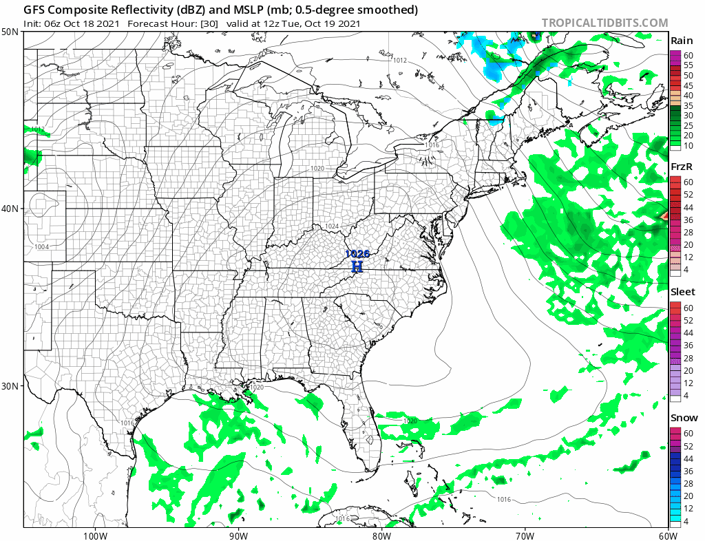
WEATHER RADAR

Skies will become mostly clear tonight with cool morning lows in the mid 40s to lower 50s. Tuesday we continue to see the northwest flow but low pressure to the northeast and the upper trough overhead begin to pull away to the east allowing more of the high to the south to build in. That should allow for more sun, fewer clouds and high temperatures back into the low and middle 60s.
Wednesday we see nice weather continuing with sunshine taking highs to the mid 60s to near 70. Then on Thursday the next cold front begins its approach so ahead of it we should see sunshine and arriving clouds with highs in the upper 60s and lower 70s.
It doesn’t look like this front will have much weather with it but we will throw in the chance for a passing shower Thursday evening just in case. Then we roll along to Friday which should be dry and breezy with a mix of sun and clouds. Highs will be in the 60s. Saturday looks good at this point. Models overdid the idea of a low moving up the coast so we will see sun on Saturday with highs in the 60s to near 70. Another cold front approaches Sunday and this could be another day where it is dry for the most part until the front gets close. At least initially most of the rain goes to the north. We remain optimistic for now. We still don’t see any major storms impacting the Eastern US over the next week or so.
BE SURE TO DOWNLOAD THE FREE METEOROLOGIST JOE CIOFFI WEATHER APP &
ANGRY BEN’S FREE WEATHER APP “THE ANGRY WEATHERMAN!

MANY THANKS TO TROPICAL TIDBITS & F5 WEATHER FOR THE USE OF MAPS
Please note that with regards to any severe weather, tropical storms, or hurricanes, should a storm be threatening, please consult your local National Weather Service office or your local government officials about what action you should be taking to protect life and property.


