Hurricane Gaston Building New Jersey Surf
HIGH RISK OF RIP CURRENTS TUESDAY
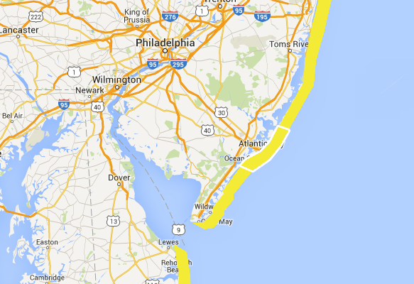
BUILDING SURF DUE TO HURRICANE GASTON
Even though Hurricane Gaston is over 1000 miles to the east southeast of New Jersey, we are seeing some coastal impacts developing in the form of rough surf and rip currents. The process is beginning late this afternoon and this evening and will continue into Wednesday. We also have Tropical Depression 8 off the North Carolina coast. Based on its forecast track out to sea and off shore, this could enhance rough see and surf conditions through much of this week.


...BEACH HAZARDS STATEMENT IN EFFECT THROUGH TUESDAY EVENING...

THE NATIONAL WEATHER SERVICE IN MOUNT HOLLY HAS ISSUED A BEACH
HAZARDS STATEMENT...WHICH IS IN EFFECT THROUGH TUESDAY EVENING.

VACATIONERS AND LOCALS ALIKE SHOULD BE ALERT FOR DANGEROUS RIP
CURRENTS AND SWIM ONLY IN DESIGNATED AREAS PATROLLED BY OUR
LIFEGUARDS.

SWIMMING AFTER THE LIFEGUARDS GO HOME, AND WHERE LIFEGUARDS DO NOT
HAVE YOU IN SIGHT, RAISES THE RISK OF AN UNCONTROLLED AND UNEXPECTED
STRUGGLE IN THE WATER.

SWELLS FROM TROPICAL CYCLONE GASTON HAVE ARRIVED AND WILL PROBABLY
BUILD ANOTHER FOOT LATE TODAY, AND THEN POSSIBLY REACH 4 FEET,
TUESDAY INTO WEDNESDAY. THE BREAKERS IN THE BEACH SWIMMING ZONE
WILL LIKELY BE LARGER.

THESE SWELLS NOT ONLY ENHANCE THE POTENTIAL FOR DANGEROUS RIP
CURRENTS BUT CAN ALSO KNOCK SWIMMERS AND WADERS FLAT INTO THE
SAND, CAUSING INJURY.

SWIM ONLY IN DESIGNATED AREAS WATCHED BY THE BEACH PATROLS. THIS
WILL HELP ENSURE GREATEST SAFETY IN WHAT PROBABLY WILL BE A LONG
STRETCH OF FAIRLY ROUGH CONDITIONS ON ATLANTIC OCEAN EXPOSED BEACHES.

PRECAUTIONARY/PREPAREDNESS ACTIONS...

A BEACH HAZARDS STATEMENT IS ISSUED WHEN THREATS SUCH AS RIP
CURRENTS...LONGSHORE CURRENTS...SNEAKER WAVES AND OTHER HAZARDS
CREATE LIFE-THREATENING CONDITIONS IN THE SURF ZONE. CAUTION
SHOULD BE USED WHEN IN OR NEAR THE WATER.
...GASTON EXPECTED TO REMAIN A POWERFUL HURRICANE FOR SEVERAL
DAYS...


SUMMARY OF 1100 AM AST...1500 UTC...INFORMATION
-----------------------------------------------
LOCATION...31.0N 55.4W
ABOUT 560 MI...900 KM E OF BERMUDA
ABOUT 1680 MI...2705 KM W OF THE AZORES
MAXIMUM SUSTAINED WINDS...110 MPH...175 KM/H
PRESENT MOVEMENT...N OR 360 DEGREES AT 2 MPH...4 KM/H
MINIMUM CENTRAL PRESSURE...963 MB...28.44 INCHES


WATCHES AND WARNINGS
--------------------
There are no coastal watches or warnings in effect.


DISCUSSION AND 48-HOUR OUTLOOK
------------------------------
At 1100 AM AST (1500 UTC), the center of Hurricane Gaston was
located near latitude 31.0 North, longitude 55.4 West.  Gaston is
moving toward the north near 2 mph (4 km/h).  A turn toward the
northeast and a faster forward speed are expected by tonight, and an
east-northeastward motion is expected on Tuesday.

Maximum sustained winds have decreased to near 110 mph (175 km/h)
with higher gusts.  Little significant change in strength is
forecast during the next 48 hours.

Hurricane-force winds extend outward up to 35 miles (55 km) from the
center and tropical-storm-force winds extend outward up to 140 miles
(220 km).

The estimated minimum central pressure is 963 mb (28.44 inches).
Long Island Beaches are also being impacted by Hurricane Gaston
FiOS1 News Weather Forecast For Long Island
FiOS1 News Weather Forecast For New Jersey
FiOS1 News Weather Forecast For Hudson Valley
NATIONAL WEATHER SERVICE SNOW FORECASTS
LATEST JOESTRADAMUS ON THE LONG RANGE
Weather App

Don’t be without Meteorologist Joe Cioffi’s weather app. It is really a meteorologist app because you get my forecasts and my analysis and not some automated computer generated forecast based on the GFS model. This is why your app forecast changes every 6 hours. It is model driven with no human input at all. It gives you an icon, a temperature and no insight whatsoever.
It is a complete weather app to suit your forecast needs. All the weather information you need is right on your phone. Android or I-phone, use it to keep track of all the latest weather information and forecasts. This weather app is also free of advertising so you don’t have to worry about security issues with your device. An accurate forecast and no worries that your device is being compromised.
Use it in conjunction with my website and my facebook and twitter and you have complete weather coverage of all the latest weather and the long range outlook. The website has been redone and upgraded. Its easy to use and everything is archived so you can see how well Joe does or doesn’t do when it comes to forecasts and outlooks.
Just click on the google play button or the apple store button on the sidebar for my app which is on My Weather Concierge. Download the app for free. Subscribe to my forecasts on an ad free environment for just 99 cents a month.
Get my forecasts in the palm of your hand for less than the cost of a cup of Joe!
![]()
![]()


