Humidity Returns Saturday Severe Weather Risk Father’s Day Warm Dry
Weather in 5/Joe & Joe Weather Show Latest Podcast
Humidity Returns Saturday Severe Weather Risk Father’s Day Warm Dry
Today will be the last day of this beautiful air mass that has been with us for most of this week. The satellite shows clear skies along the coast and offshore and basically outlines what is left of the dry air over the Eastern US. To the west, high clouds are blow off from thunderstorms moving through the Lower Great Lakes and the upper Ohio Valley and those high clouds will start to move in during this afternoon. Temperatures today will reach into the 80s with mostly sunny skies giving way to sun and high clouds during the afternoon.
SATELLITE
WEATHER RADAR
Not much is happening on the radar today but you can see the showers and thunderstorms on the upper left moving east. They should remain well north and west of the coast today with no issues here.
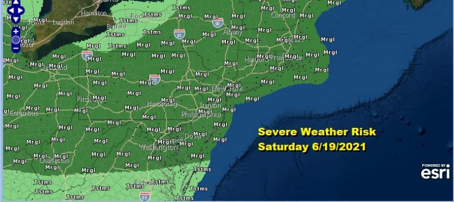
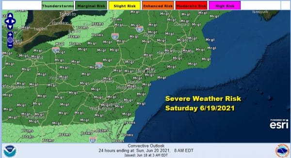
Humidity levels will be coming up tonight as warm moist air returns. Saturday morning there could be a scattered shower or thunderstorm as a warm front passes and then it is on to a very humid Saturday. Dew points will rise to the mid and upper 60s and it will be quite uncomfortable given how dry it has been. Late in the day we have the chance for thunderstorms and the Storm Prediction Center has a large area of marginal risk from the Ohio Valley east to the Mid Atlantic coast and north to Northern New England. Saturday’s highs will be 85 to near 90 degrees in some places.
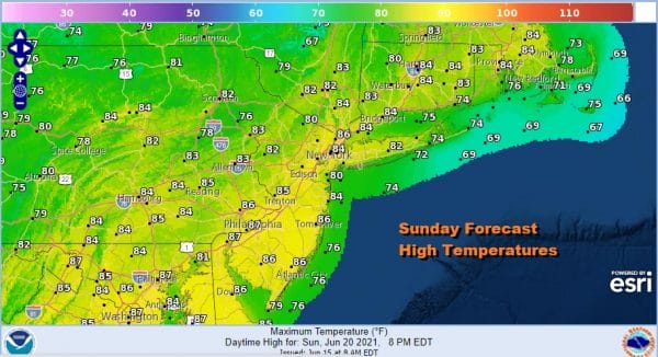
For most of you Saturday the day should be rain free and once the cold front passes we will see improving weather conditions Saturday night into Father’s Day Sunday. We are looking at sunshine and humidity levels will come down somewhat making it more comfortable than Saturday.
Humidity returns Monday which should be rain free and warm with highs in the 80s. Tuesday brings another cold front with the chance for showers and thunderstorms but that will be followed by another very dry air mass for the second half of next week.
BE SURE TO DOWNLOAD THE FREE METEOROLOGIST JOE CIOFFI WEATHER APP &
ANGRY BEN’S FREE WEATHER APP “THE ANGRY WEATHERMAN!
MANY THANKS TO TROPICAL TIDBITS & F5 WEATHER FOR THE USE OF MAPS
Please note that with regards to any severe weather, tropical storms, or hurricanes, should a storm be threatening, please consult your local National Weather Service office or your local government officials about what action you should be taking to protect life and property.


