Humidity Moving Lower Sunday Looking Spectacular
Humidity Moving Lower Sunday Looking Spectacular
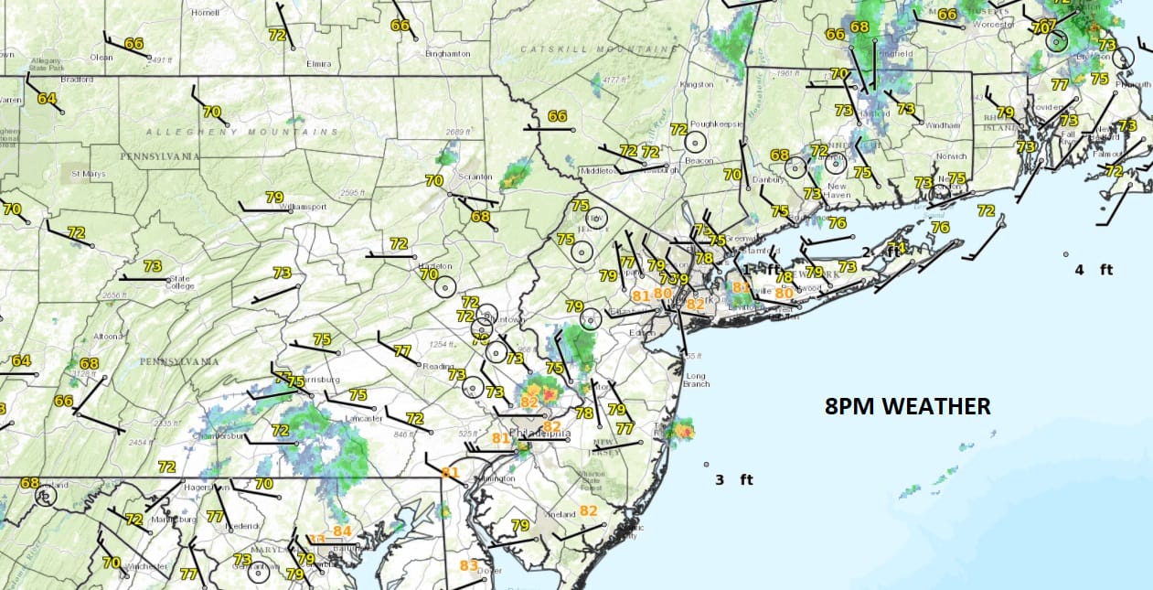
This evening we are seeing widely scattered showers and a few thunderstorms in parts of New Jersey and also scattered around in a few other areas however these downpours and thunderstorms will continue to weaken and gradually disappear as a cold front moves offshore.
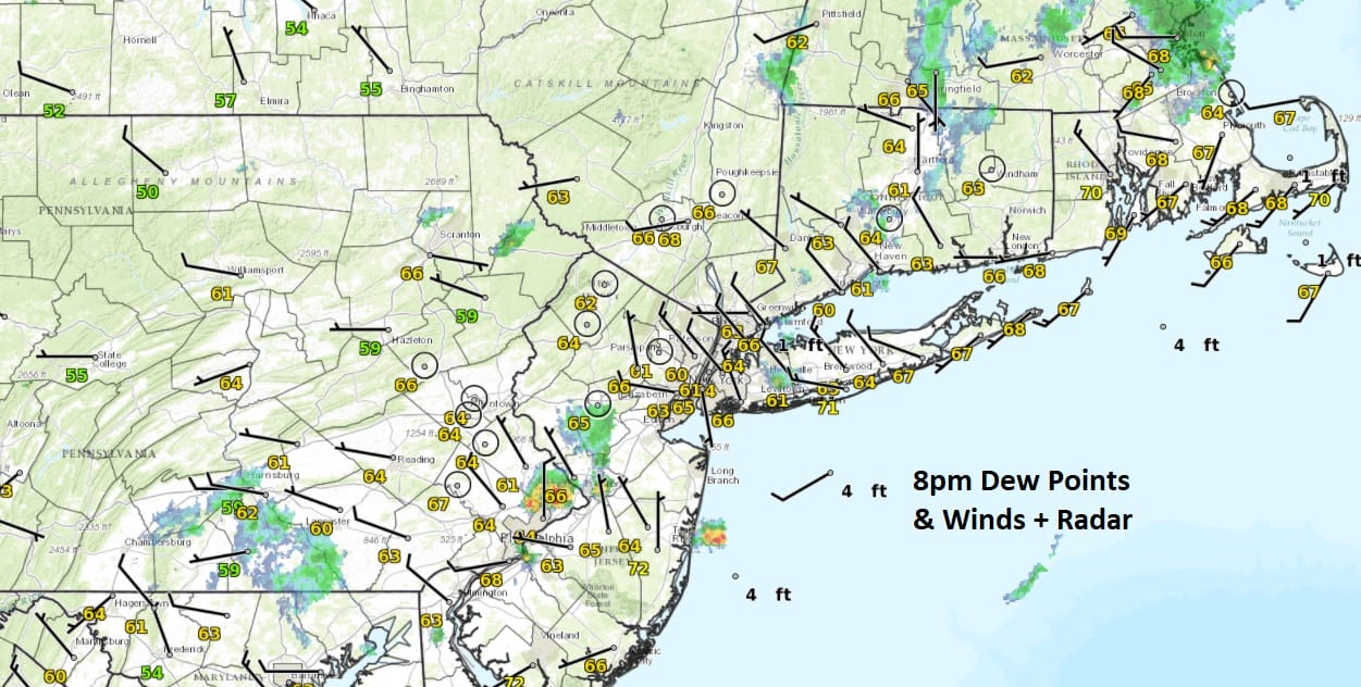
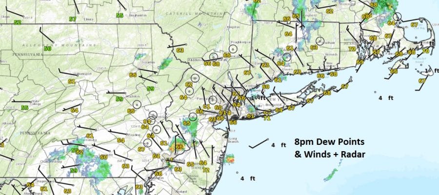
Temperatures have fallen into the 70s and the dew points which tell us how moist the air is (temperature where dew forms) are dropping as well. This means humidity is moving lower and will continue to drop overnight and on Sunday. Dew points have already dropped into the upper 50s and lower 60s in many areas making for a comfortable night ahead.
SATELLITE LOOP

The satellite loop shows clouds with a cold front moving offshore and the regional radar shows the scattered nature of the showers and thunderstorms that are moving through now.
REGIONAL RADAR

LOCAL RADAR NEW YORK CITY

LOCAL RADAR PHILADELPHIA


Sunday we will see lots of sunshine, low humidity and temperatures in the low to mid 80s. Monday we will see sunshine to start but some clouds could come in late in the day as the next cold front begins its approach. Tuesday will be very warm and humid and there is the chance for some thunderstorms late in the day before another quick shot of slightly drier air comes in for Wednesday. Afterwards another warm front cold front combination heads our way for late week with higher humidity and the chance for downpours and thunderstorms.
 GET JOE A CIGAR IF YOU LIKE

LANDSCAPE COMPANIES FOR YOUR NEEDS
LONG ISLAND ROCKLAND COUNTY Connecticut

![]()

ROCKLAND COUNTY TRI STATE SNOW REMOVAL JOHNSTOWN PA


FiOS1 News Weather Forecast For Long Island
FiOS1 News Weather Forecast For New Jersey
FiOS1 News Weather Forecast For Hudson Valley
NATIONAL WEATHER SERVICE SNOW FORECASTS
LATEST JOESTRADAMUS ON THE LONG RANGE
Weather App

Don’t be without Meteorologist Joe Cioffi’s weather app. It is really a meteorologist app because you get my forecasts and my analysis and not some automated computer generated forecast based on the GFS model. This is why your app forecast changes every 6 hours. It is model driven with no human input at all. It gives you an icon, a temperature and no insight whatsoever.
It is a complete weather app to suit your forecast needs. All the weather information you need is right on your phone. Android or I-phone, use it to keep track of all the latest weather information and forecasts. This weather app is also free of advertising so you don’t have to worry about security issues with your device. An accurate forecast and no worries that your device is being compromised.
Use it in conjunction with my website and my facebook and twitter and you have complete weather coverage of all the latest weather and the long range outlook. The website has been redone and upgraded. Its easy to use and everything is archived so you can see how well Joe does or doesn’t do when it comes to forecasts and outlooks.
Just click on the google play button or the apple store button on the sidebar for my app which is on My Weather Concierge. Download the app for free. Subscribe to my forecasts on an ad free environment for just 99 cents a month.
Get my forecasts in the palm of your hand for less than the cost of a cup of Joe!


