HOT HUMID SUNSHINE TAKES HIGHS INTO THE 90S TODAY & FRIDAY
SEVERE WEATHER THREAT FRIDAY EVENING AS FRONT NEARS
WEEKEND ISSUES SHOWERS SATURDAY CLOUDY SUNDAY
Hot humid conditions will be with us today and Friday. When the morning lows are basically in the low to mid 70s you have a launching pad set up for highs in the upper 80s and lower 90s. We see a rather inactive satellite loop this morning with some patchy high clouds moving along from west to east but not much else is going on today. We don’t expect any thunderstorms to develop late this afternoon or evening other than a couple of isolated pop ups well inland.
EASTERN SATELLITE

REGIONAL RADAR

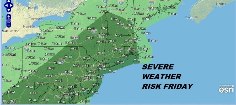
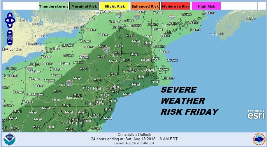
Radars are nice and quiet this morning across the region which is a nice thing as we continue to dry up from the soaking rains of the last several weeks. Tonight will be very warm and humid with lows mostly ln the low to middle 70s. Then Friday will be day 3 of highs in the upper 80s and lower 90s with sunshine and arriving clouds in the afternoon. The next weather front approaches and we could see showers and thunderstorms develop later in the afternoon and in particular Friday. The Storm Prediction Center has all of our area in a marginal risk for severe weather on Friday.
This front is going to be a very slow moving one which is going to mean some issues are possible for Saturday. Not all models agree with this idea but for now it would seem the prudent thing is to cover for showers Saturday at least into the afternoon. High pressure from the north will be building southward with an onshore flow developing (northeast) later Saturday and lasting into Monday. If the high builds far enough south Sunday might not be too bad with clouds and some breaks of sun especially for areas to the north and east of NYC. For now we will keep things cloudy for Sunday until it becomes clear whether the high will build enough to create a drier scenario. Either way the dew points at least will come down a bit over the weekend.
MANY THANKS TO TROPICAL TIDBITS FOR THE USE OF MAPS
Please note that with regards to any tropical storms or hurricanes, should a storm be threatening, please consult your local National Weather Service office or your local government officials about what action you should be taking to protect life and property.
LATEST JOESTRADAMUS ON THE LONG RANGE


