Heat Humidity Continues Severe Weather Risks Wednesday Thursday

Weather in 5/Joe & Joe Weather Show Latest Podcast
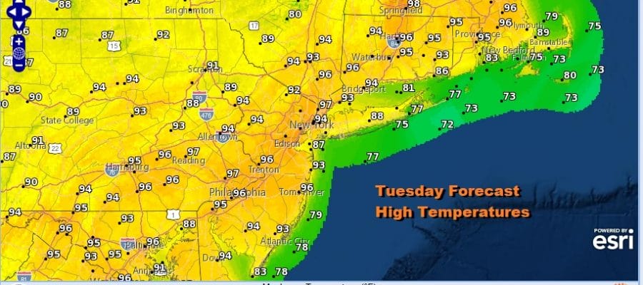
Heat Humidity Continues Severe Weather Risks Wednesday Thursday
Another hot and humid day is underway. We are pretty much in the same place we were yesterday. Skies are mostly clear on the satellite and are likely to stay that away all day. Lows this morning were in the upper 60s to mid 70s so the pad was set for blast off. Highs this afternoon will be in the low to mid 90s.
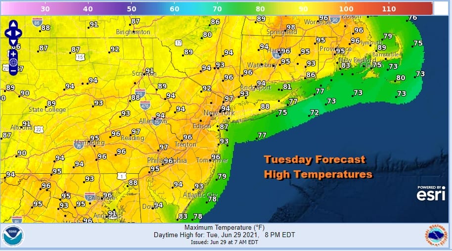
Temperatures will be a few degrees cooler at the shore. Watch for a pop up isolated thunderstorm mainly well inland. That pretty much covers things for today. Radars are mostly quiet for today into Wednesday morning. Tonight will be another steam bath with lows in the upper 60s to mid 70s.
SATELLITE

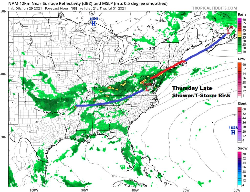
Wednesday will be the last very hot and humid day as an upper trough and cold front begin its approach. The front won’t actually get close until Thursday but the atmosphere will become increasingly unstable later Wednesday afternoon and evening. Highs will reach the low to mid 90s. Dew points will be in the lower 70s on average. This all spells severe weather risk.

The Storm Prediction Center has much of the Northeast under severe weather risk for Wednesday and that risk continues on Thursday as the second stronger front approaches. These storms probably have the potential to produce gusty winds but heavy rain and potential localized flash flooding is probably the bigger risk.

The risk for showers and thunderstorms will come late Wednesday afternoon into Wednesday evening. After those storms die out we wait for later Thursday where I think we see more clouds, less sun, humid conditions, and a good chance for widespread showers and thunderstorms later in the day into Thursday night.
Temperatures will be mostly in the 80s on Thursday. Friday with the frontal boundary to our south we will be sitting in clouds and there is the chance for showers or downpours with highs in the upper 70s to lower 80s. We will discuss the holiday weekend outlook later today.
BE SURE TO DOWNLOAD THE FREE METEOROLOGIST JOE CIOFFI WEATHER APP &
ANGRY BEN’S FREE WEATHER APP “THE ANGRY WEATHERMAN!

MANY THANKS TO TROPICAL TIDBITS & F5 WEATHER FOR THE USE OF MAPS
Please note that with regards to any severe weather, tropical storms, or hurricanes, should a storm be threatening, please consult your local National Weather Service office or your local government officials about what action you should be taking to protect life and property.


