Flood Advisory Northeast PA Hudson Valley Thunderstorm Line Developing
Flood Advisory Northeast PA NE New Jersey Hudson Valley
Thunderstorm Line Developing
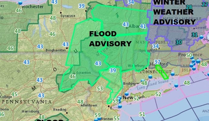
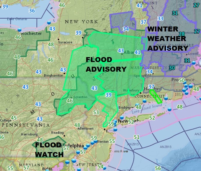
A strong storm system is moving east out of the Great Lakes and into Southeastern Canada with a trailing cold front. We have seen some heavy rains this morning as a cold front moves east. A warm front appears to be stuck just inland of the coast and this is creating some dense fog in spots inland. Flood Advisory is posted for Northeastern Pennsylvania, NE New Jersey, Hudson Valley north of Route 84 and NW Connecticut.
US SATELLITE

REGIONAL RADAR

Radars are also showing a growing line of thunderstorms across Eastern Pennsylvania. The line is expanding northeastward as well as moving toward New Jersey and the lower Hudson Valley. This line could produce another round of heavy rains along with strong gusty winds. Along the coast rain from New Jersey southward is aiming for Long Island and Southern New England in the next few hours.
LOCAL RADAR NEW YORK CITY

LOCAL RADAR PHILADELPHIA


Some flooding is likely in the the advisory areas and a general Flood Watch continues for areas on the map above in the darker green. The rains should be done by mid to late afternoon in most places and weather conditions should begin to improve everywhere this evening and tonight.
 GET JOE A CIGAR IF YOU LIKE

FiOS1 News Weather Forecast For Long Island
FiOS1 News Weather Forecast For New Jersey
FiOS1 News Weather Forecast For Hudson Valley


