Easter Weekend Week Ahead No Rain And Eventually Highs Reaching the 80s
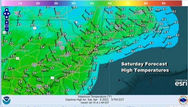
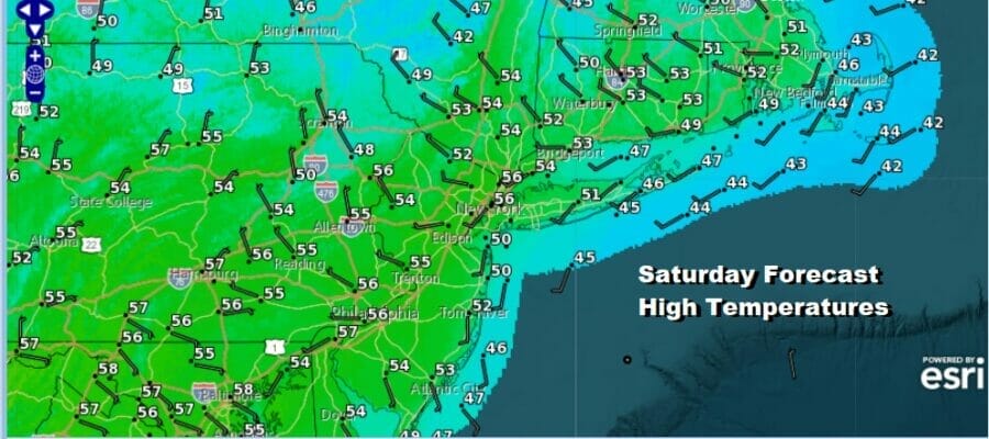
We have arrived at the weekend and the Easter holiday and we are also at the start of a long stretch of weather where we see nothing in the way of rain and even back door cold fronts will be kept at bay. The chilliest weather is today as we have a cold high over the Great Lakes which is helping to suppress low pressure on a stalled cold front to the south. Rain will continue in the South and Southeast today but it will come to an end from west to east and pass offshore. In our neck of the woods in Eastern Pennsylvania to Southern New England, we will see sunshine veiled behind high clouds and that will keep most temperatures from getting much beyond the low and middle 50s.
SATELLITE

WEATHER RADAR

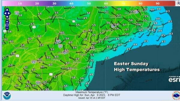
There are no issues tonight other than it will be on the cold side with clear skies and lows in the upper 20s to middle 30s. Easter Sunday will be a nice day as the high moves overhead. This puts us in a sweet spot of sunshine and highs Sunday afternoon will be in the middle and upper 50s.
The week ahead is going to be unusual for April as it isn’t often that we go an entire week without either rain, or some sort of back door cold front moving through. There won’t be any issues with an onshore flow other than localized sea breezes that develop along south facing shore lines.
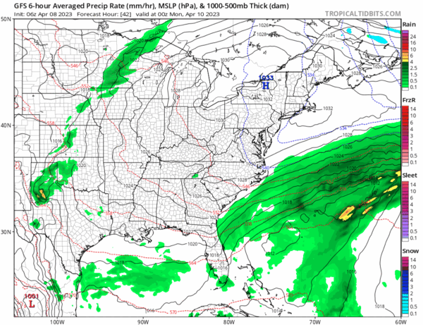
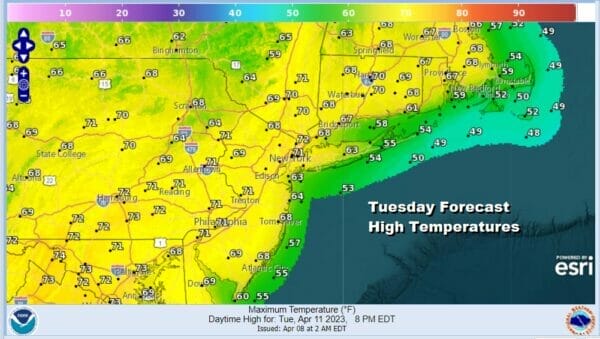
Under these conditions surface and aloft, temperatures have no where to go but. We will start the rise Monday with sunshine taking highs into and in some cases through the 60s. Tuesday should be a nice sunny day with highs reaching the 70s in most areas. There is a weak front that comes through Tuesday night with hardly any moisture and it is really more of a windshift line that moves through.

The warming process continues Wednesday through Friday and there will be sunshine each day. Highs Wednesday will be in the 70s. Thursday and Friday highs will be in the 80s. The one downside in all this is the unusually dry conditions that are developing will likely lead to the risk for some brush fires which is typical for this time of year as temperatures rise and humidity levels will be rather low. Also we will have a few days where the wind might kick up from time to time. This could very well be the best weather of the spring as eventually we will have to deal with the gloom and doom of the curse of the onshore flow, but not for the next 7 days at least.
BE SURE TO DOWNLOAD THE FREE METEOROLOGIST JOE CIOFFI WEATHER APP &
ANGRY BEN’S FREE WEATHER APP “THE ANGRY WEATHERMAN!
MANY THANKS TO TROPICAL TIDBITS & F5 WEATHER FOR THE USE OF MAPS
Please note that with regards to any severe weather, tropical storms, or hurricanes, should a storm be threatening, please consult your local National Weather Service office or your local government officials about what action you should be taking to protect life and property.


