Colder Next Few Days Snow Chances Rise Monday As Storm Passes to the South

Colder Next Few Days Snow Chances Rise Monday As Storm Passes to the South
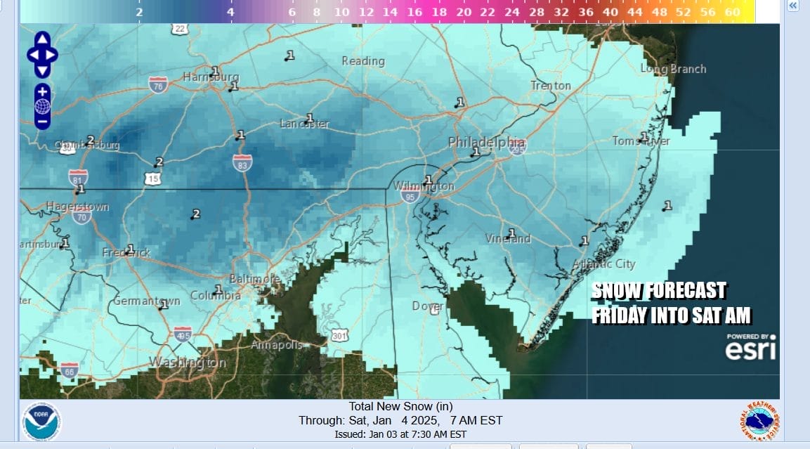
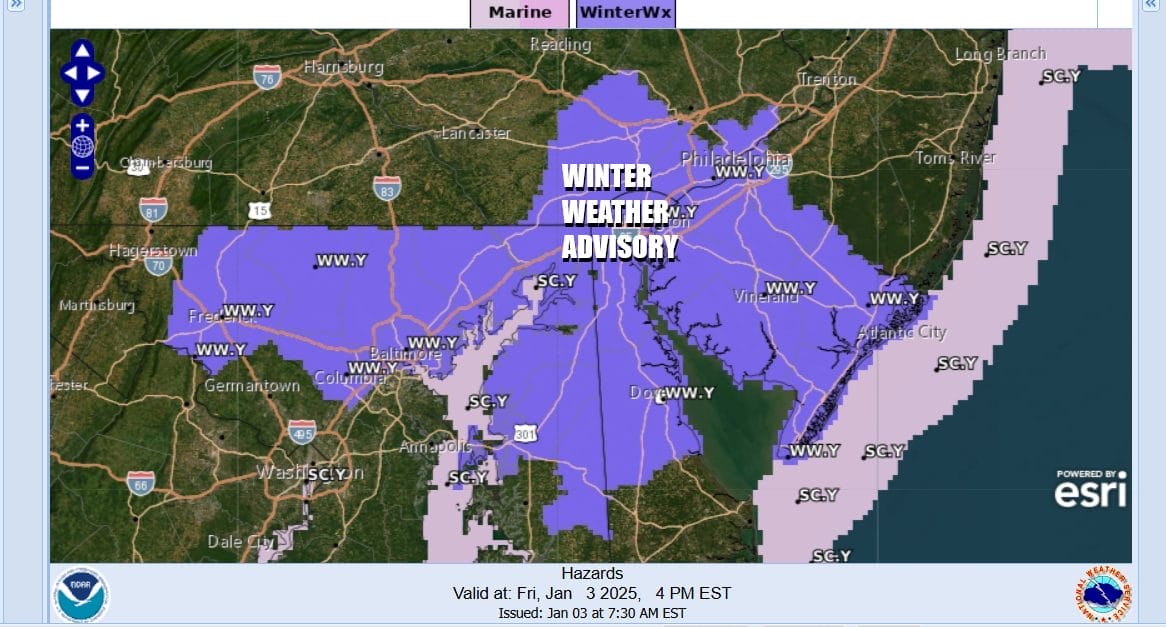
We have been dealing with upper troughs moving through over the last few days. Each one has some precipitation with it and each one has a step down of colder air behind it. Today we have an upper trough that will cross Pennsylvania and Maryland so these areas south of Route 78 in New Jersey and in Pennsylvania could see a coating to an inch or so of snow later today into tonight as the upper trough passes. Winter Weather Advisories are posted for areas in South Jersey, Southeast Pennsylvania and Maryland for today.
Elsewhere across Northern New Jersey to Southern New England and Long Island it is going to be a colder day with in and out sunshine and the chance for a passing snow shower or two. Gusty winds will continue today as low pressure in Atlantic Canada maintains a firm grip on the Northeast coupled with high pressure in the Western Great Lakes creating a tight pressure gradient.
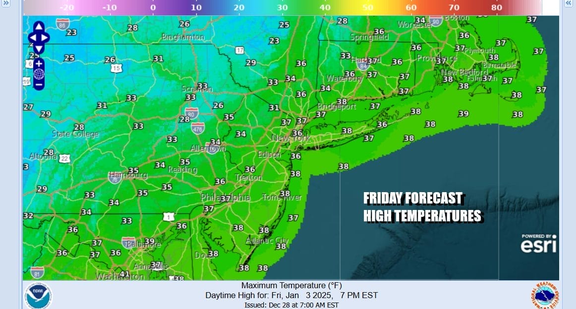
Temperatures this afternoon will be topping out mostly in the 30s and of course the wind will make it feel colder. Once the upper trough exits the coast this evening we see skies at least partially clearing out though it will remain breezy. Saturday morning lows will bottom out in the low to middle 20s and winds will make it feel like it is about 10 degrees colder if you happen to be going out tonight. There might be a few leftover scattered snow showers around this evening.
SATELLITE WITH LIGHTNING STRIKES

WEATHER RADAR

Attention turns over the weekend to a new storm that will be developing in the Southern Plains. Thanks to all the blocking we have in the atmosphere across the North Atlantic, this storm is going to take a track almost straight east across the lower Ohio Valley Sunday and then reach the Mid Atlantic sometime Monday or Monday evening. North of the low track will be an almost 1500 mile east west zone of heavy snows of 8 to 12 inches extending from Kansas to Virginia and Maryland.
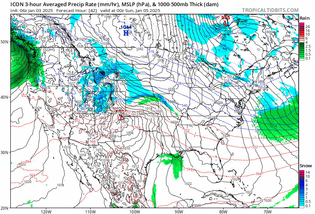
There is much to sort out with this system. Even though it looks impressive, when it reaches the coast it will be interacting with the blocking system over Atlantic Canada. Depending on the state of the upper air, this low could lift a little northward and bring accumulating snows north of NYC and Coastal Connecticut or it could get suppressed southward if the blocking is too strong and the winds aloft in New England are more northwest.
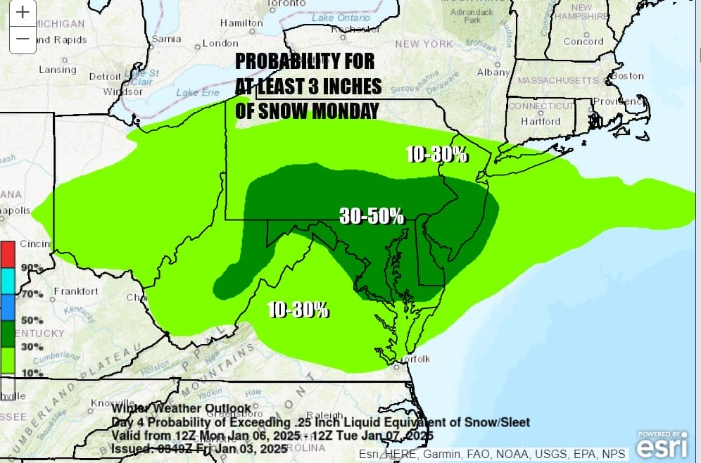
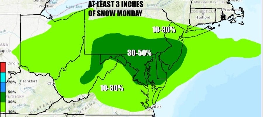
As of this morning the Weather Prediction Center in its long range outlook for Monday morning into Tuesday morning, is forecasting a 30 to 50 percent chance of at least 3 inches for much of New Jersey south of Route 78 as well as Southeast and South Central Pennsylvania into all of Maryland, Delaware and Northeast Virginia. An area of 10 to 30 percent chance for at least 3 covers Northern New Jersey north of Route 78 to the New York state line as well as Long Island.

There are no weather issues for the weekend other than it may be a little windy for awhile on Saturday before winds drop off and it will also be cold. Saturday should be no worse than partly sunny and high temperatures will be in the low and mid 30s. Sunday looks to be sunny for most of the day though some high clouds ahead of the next storm system could start to arrive later in the day. Sunday highs will also be in the low to mid 30s. Snow will spread from west to east late Sunday night or early Monday across Maryland, Virginia and Southern Pennsylvania, eventually spreading into Central and South Jersey and possibly a bit further north than that. There will be a sharp northern cut off to accumulating snow and we will be working out all the specifics in an early call snow forecast to be issued later today.
BE SURE TO DOWNLOAD THE FREE METEOROLOGIST JOE CIOFFI WEATHER APP &
ANGRY BEN’S FREE WEATHER APP “THE ANGRY WEATHERMAN!
MANY THANKS TO TROPICAL TIDBITS FOR THE USE OF MAPS
Please note that with regards to any severe weather, tropical storms, or hurricanes, should a storm be threatening, please consult your local National Weather Service office or your local government officials about what action you should be taking to protect life and property.


