Colder Air Moving Southeastward
Colder Air Moving Southeastward
It is a pretty quiet scene today with yesterday’s 1 to 2 inch snow cover about to melt away. We will see some sunshine today and mild temperatures into the 40s but a cold front looms and it will move through here later today with clouds and nothing more than a passing rain or snow shower when it goes by. Afterwards we begin a downtrend in temperatures that will last through the weekend. Lows tonight will be in the 20s and highs on Thursday in the 30s to around 40. Then temperatures will fall further into the teens Friday and Saturday morning. Highs both those days will be just into the 30s.
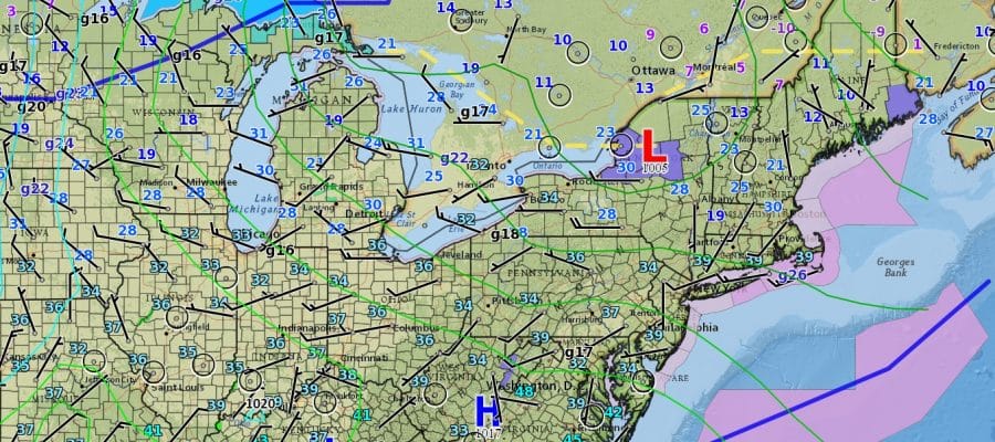
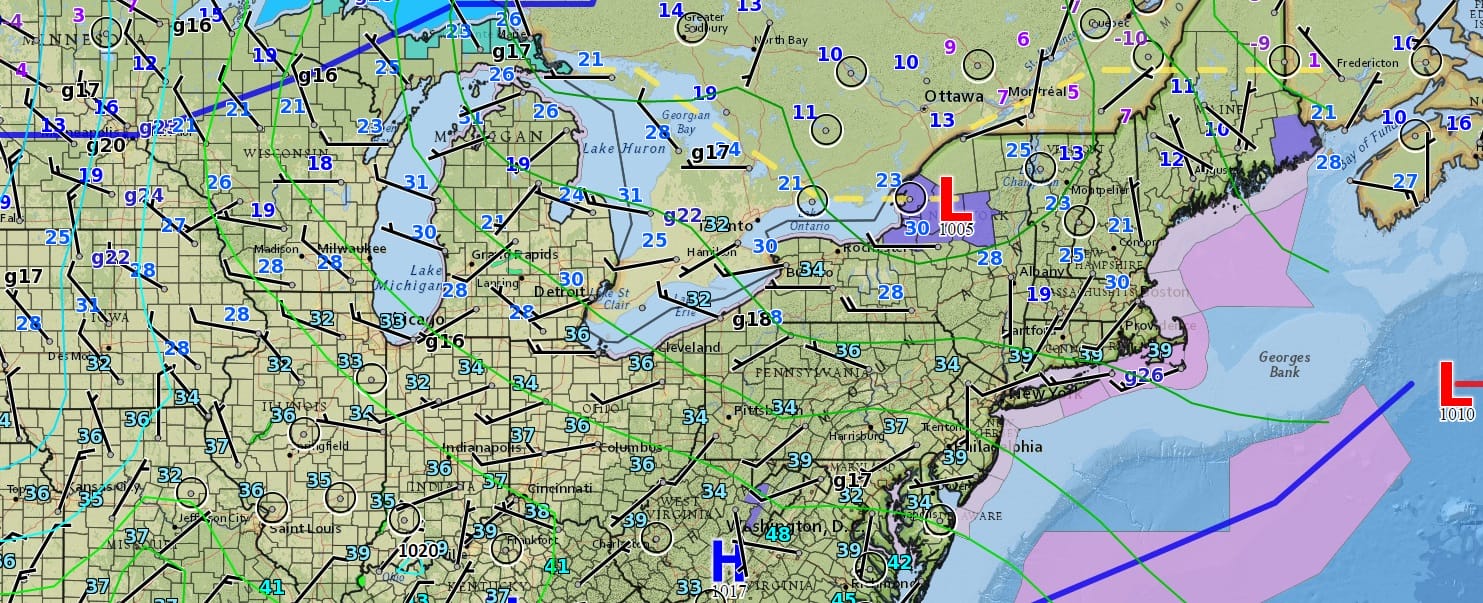
The satellite loop this morning shows a strengthening northwest flow aloft as clouds move from northwest to southeast. Radar activity this morning is widely scattered and should remain so through much of the day. This is why any precipitation will be passing in nature.
SATELLITE LOOP

REGIONAL RADAR

LOCAL RADAR NEW YORK CITY

LOCAL RADAR PHILADELPHIA


The next chance for any accumulating snow of any kind will be on Sunday. Weather models are showing the chance for some light snow on Sunday but we will monitor the situation today in case they suddenly decide to back to a more robust solution. Longer term looks rather volatile next week as models zero in on a storm possibly heading to the Great Lakes but we remain unsold on this idea. We will discuss this further later today.
SNOW REMOVAL COMPANIES FOR YOUR WINTER NEEDS
LONG ISLAND ROCKLAND COUNTY Connecticut

![]()

ROCKLAND COUNTY TRI STATE SNOW REMOVAL JOHNSTOWN PA


FiOS1 News Weather Forecast For Long Island
FiOS1 News Weather Forecast For New Jersey
FiOS1 News Weather Forecast For Hudson Valley
NATIONAL WEATHER SERVICE SNOW FORECASTS
LATEST JOESTRADAMUS ON THE LONG RANGE
Weather App

Don’t be without Meteorologist Joe Cioffi’s weather app. It is really a meteorologist app because you get my forecasts and my analysis and not some automated computer generated forecast based on the GFS model. This is why your app forecast changes every 6 hours. It is model driven with no human input at all. It gives you an icon, a temperature and no insight whatsoever.
It is a complete weather app to suit your forecast needs. All the weather information you need is right on your phone. Android or I-phone, use it to keep track of all the latest weather information and forecasts. This weather app is also free of advertising so you don’t have to worry about security issues with your device. An accurate forecast and no worries that your device is being compromised.
Use it in conjunction with my website and my facebook and twitter and you have complete weather coverage of all the latest weather and the long range outlook. The website has been redone and upgraded. Its easy to use and everything is archived so you can see how well Joe does or doesn’t do when it comes to forecasts and outlooks.
Just click on the google play button or the apple store button on the sidebar for my app which is on My Weather Concierge. Download the app for free. Subscribe to my forecasts on an ad free environment for just 99 cents a month.
Get my forecasts in the palm of your hand for less than the cost of a cup of Joe!


