Chilly Afternoon Showers Thursday Saturday Colder Sunday
Chilly Afternoon Showers Thursday Saturday Colder Sunday
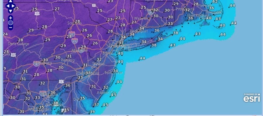
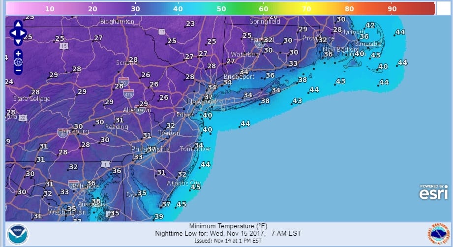
It is a rather chilly afternoon with lots of clouds in the area though there are pockets in parts of South Jersey where the sun is managing to poke through. We are also seeing occasional areas of brightening of skies. We are going to have to wait until tonight to get rid of most of these clouds. Skies should at least partially clear out overnight with temperatures dropping to the mid 20s to mid 30s.
WEDNESDAY MORNING FORECAST LOWS
SATELLITE LOOP

Even though there is a considerable amount of cloud cover shower activity is minimal on the radar and only showing up offshore south of Long Island & east of New Jersey.
REGIONAL RADAR

LOCAL RADAR NEW YORK CITY

There are no major changes in the forecast over the next several days. Wednesday we will see sunshine and clouds with chilly highs in the upper 40s to around or just over 50. Thursday look for clouds and some showers scattered around with highs in the 50s. A cold front will be moving through followed by dry and lots of sunshine for Friday with highs in the low to mid 50s.
GFS RAINFALL SATURDAY
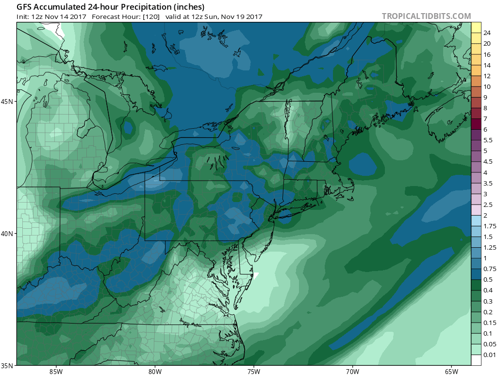
Another cold front arrives on Saturday with a good chance for showers followed by windy and colder conditions for Sunday. Rainfall on Saturday looks like it will be on the order of a half inch or so. Much of next week looks cold and dry. I continue to lean away from any kind of rain or snow event for Wednesday and Thursday. We will talk more about the long range Thanksgiving outlook later today.
 GET JOE A CIGAR IF YOU LIKE

FiOS1 News Weather Forecast For Long Island
FiOS1 News Weather Forecast For New Jersey
FiOS1 News Weather Forecast For Hudson Valley


