Beautiful Afternoon Sunshine Low Humidity Through Thursday
It took awhile for the cold front to move through along with the upper trough which produced a few thunderstorms overnight. The payoff came today as we have been enjoying mostly sunny skies. Dew points have been slowly dropping and we have a delightful afternoon of weather. Temperatures will top out mostly in the lower 80s. Do enjoy the afternoon.
SATELLITE

REGIONAL RADAR

There isn’t much happening on the satellite other than some passing clouds and the regional radar is quiet today across the Northeast and Mid Atlantic states. We do have an upper trough that will be moving through the area tonight which will produce a few clouds. Overnight lows will be mostly in the 60s though some cool spots could drop into the 50s.
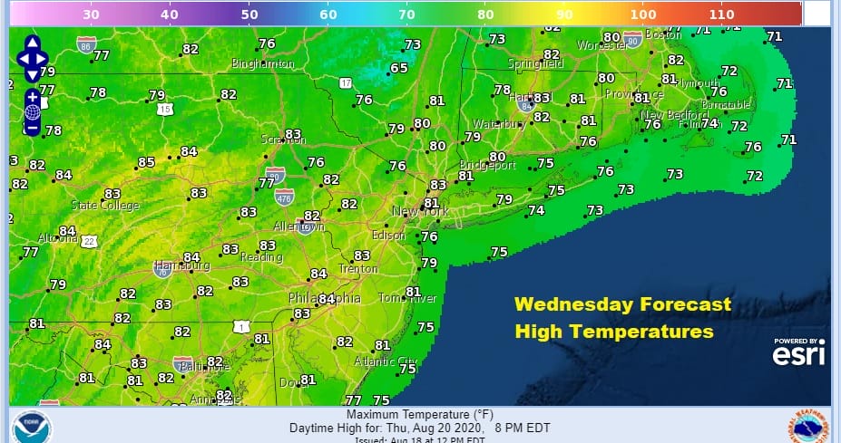
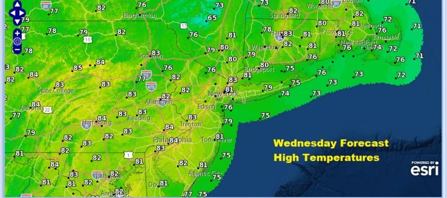
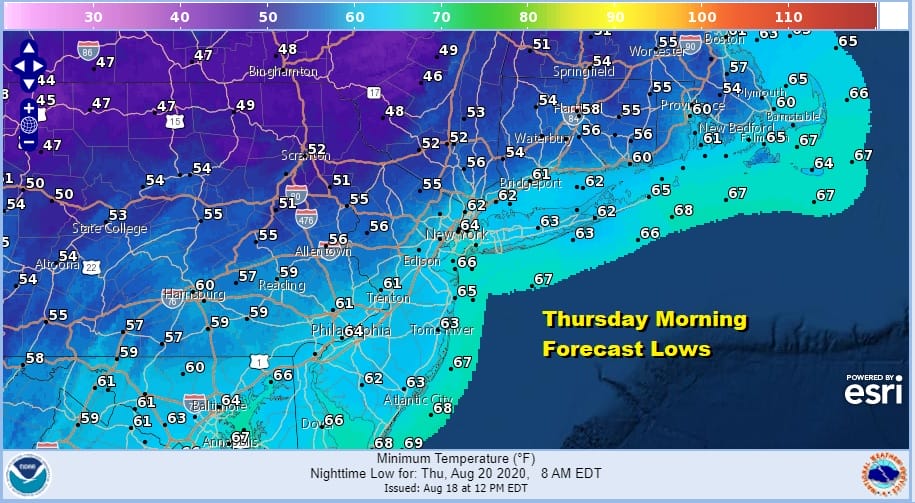
Wednesday we are going to see the core of the dry air moving in but the upper trough means there will be some clouds around but there will be some sunshine as well. Highs Wednesday will reach the lower 80s. Wednesday night brings a nice cool round of temperatures and by morning we will see lows down in the upper 50s to lower 60s in many locations. Even the warmer urban centers will bottom around 65 or so. This will definitely be a night of windows open and a break for air conditioning.
Thursday day side has high pressure overhead so we should enjoy a good deal of sunshine, low humidity, and highs in the upper 70s to lower 80s. This will be the last day of the delightful weather as the next round of changes get underway.
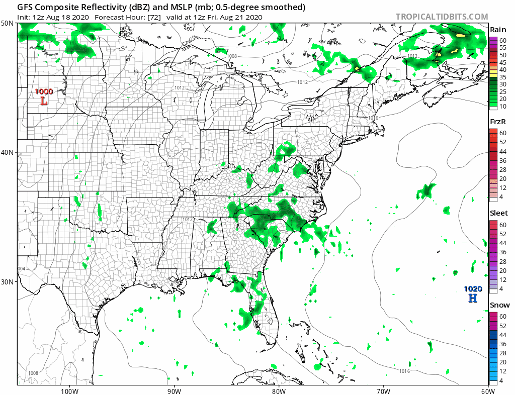
High pressure will be moving offshore and winds will go to the south and southwest as we head into the weekend. This leads to warmer and more humid conditions. The southerly flow opens us up to the risk of some scattered showers or a thunderstorm Friday afternoon. Highs will be in the 80s. The weekend will be warm and humid with some sun both days and we will throw in the chance for a shower or thunderstorm. Highs will be in the 80s both days. The next cold front will arrive on Monday with some showers and thunderstorms. The jet stream across Southern Canada will be strengthening next week and that should keep weather systems moving along as well as another shot of lower humidity for Tuesday and Wednesday of next week.
BE SURE TO DOWNLOAD THE FREE METEOROLOGIST JOE CIOFFI WEATHER APP &
ANGRY BEN’S FREE WEATHER APP “THE ANGRY WEATHERMAN!
MANY THANKS TO TROPICAL TIDBITS FOR THE USE OF MAPS
Please note that with regards to any severe weather, tropical storms, or hurricanes, should a storm be threatening, please consult your local National Weather Service office or your local government officials about what action you should be taking to protect life and property.


