25th Consecutive Day of No Measurable Rain,
None In Sight Through All of Next Week

25th Consecutive Day of No Measurable Rain,
None In Sight Through All of Next Week
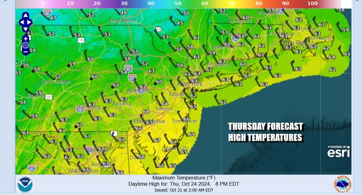
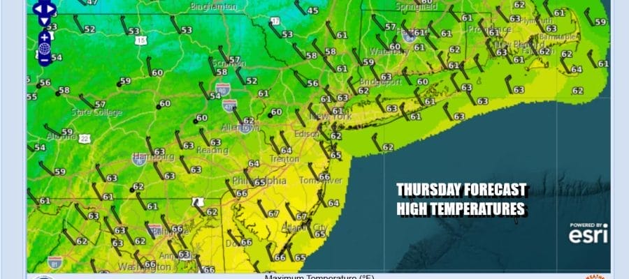
Last night’s cold front actually wound up producing a few sprinkles but nothing more. Satellite loops show a strong coastal storm developing east of Virginia and pushing northward toward Atlantic Canada. It is helping to bring down a shot of cooler air so we are done with the very warm temperatures along with the record breaking highs. Now that the front has passed we will see sunshine and a freshening gusty northwest winds. Temperatures didn’t fall much overnight and they won’t rise much today. Highs will be in the low to middle 60s. Then we head down to the 30s inland tonight and low to mid 40s coast and urban areas under clear skies.
SATELLITE WITH LIGHTNING STRIKES

WEATHER RADAR

Across the vast majority of Eastern Pennsylvania to Southern New England today marks the 25th consecutive day without measurable rainfall. There is nothing in the cards as far as rain is concerned for at least the next 8 or 9 days and possibly longer. Friday night brings another cold front and another shot of cooler air but once again the front comes through dry other than some clouds Friday night into Saturday morning.

There is a strong upper ridge pattern along the coast of the US East Coast and it shows no signs of moving out and no signs of breaking down anytime soon. It ebbs and flows in terms of strength. When the ridge is ebbing we get these weak cold fronts coming across Southern Canada. When it is strong like i was Tuesday and Wednesday, we get very warm temperatures and some record high temperatures.

Regardless of the strength of the ridge in the Eastern US, it prevents any moisture from coming in from the Atlantic as well as the Gulf of Mexico. We just roll along. Friday will be a nice sunny day. Winds will turn southwest and highs will reach the low and middle 60s. A cold front passes Friday night and other than some leftover clouds Saturday morning we will see developing sunshine and highs in the mid 60s to around or just over 70.

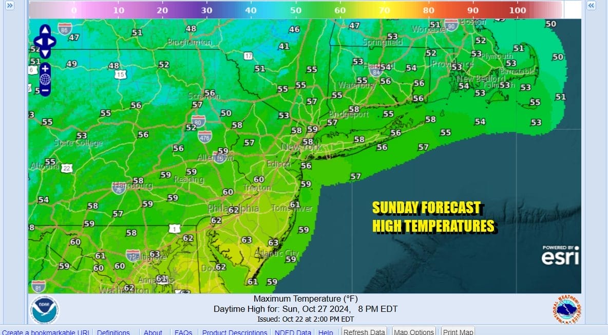
it turns colder Saturday night under clear skies. Most lows inland will be in the 30s while urban areas and the coast will be in the low to mid 40s. Sunday will be mostly sunny and chilly with highs just in the 50s. An even colder night follows Sunday night into Monday morning where many inland areas will be flirting with the freezing mark.
Chilly air will still be around Monday before the high moves offshore. Then we warm up again beginning Tuesday with sunshine and highs in the mid to upper 60s. Wednesday we will be in the low to mid 70s. Halloween which is next Thursday we could be in the mid to upper 70s and maybe some warm spots will be getting close to 80 degrees again. Another front is due Friday night and that will bring chilly air back in for the first weekend of November. There is a chance that front could produce a few showers with some measurable rain Friday night but it is also quite possible that the front comes through dry or with minimal rainfall.
BE SURE TO DOWNLOAD THE FREE METEOROLOGIST JOE CIOFFI WEATHER APP &
ANGRY BEN’S FREE WEATHER APP “THE ANGRY WEATHERMAN!
MANY THANKS TO TROPICAL TIDBITS FOR THE USE OF MAPS
Please note that with regards to any severe weather, tropical storms, or hurricanes, should a storm be threatening, please consult your local National Weather Service office or your local government officials about what action you should be taking to protect life and property.


