
Wind Advisory New Jersey Rumbles of Thunder As Cold Front Passes Through
It isn’t often that you hear rumbles of thunder at the end of November but here we are on the night before Thanksgiving with a few rumbles of thunder that went through. A few cells formed with a couple of bands of showers arcing southward from our low moving across the Great Lakes. Now we watch as winds pick up overnight. Wind Advisories are posted for almost all of New Jersey except the Northeastern Counties. We might see these advisories extended overnight to include the Lower Hudson Valley, Southern New England, NYC & Long Island. Winds of 20 to 30 mph with gusts over 40 mph are likely late tonight and at least through the first part of Thursday morning.
SATELLITE

REGIONAL RADAR

Most of the energy with the Great Lakes storm is to the north in upstate NY and New England. Thats where we see the bulk of the showers on the regional and local radars. All of this is moving to the northeast.
LOCAL RADAR NEW YORK CITY

LOCAL RADAR PHILADELPHIA


Thanksgiving day itself aside from the gusty winds will be a fairly decent day with some sunshine and a few passing clouds. Highs will be just in the 40s. Then we clear out Thursday night with lows in the 20s inland and lower 30s along the coast. Friday looks mainly sunny but still breeze and cold. Highs will be just into the 40s. Then we chill down even more Friday night into Saturday morning with lows in the 20s just about everywhere. Saturday looks like we will sunshine with some late day arriving clouds. Highs will be mostly in the 30s.

Our Western US major storm will be moving slowly eastward and finally by late Saturday night or early Sunday morning we will see low pressure moving into Iowa and Wisconsin and weakening while a secondary low forms somewhere along the Delaware/ South Jersey coast. The blocking pattern looks a little weaker today on weather models which accounts for the less intense slightly further north surface low with far less in the way of any frozen precipitation.
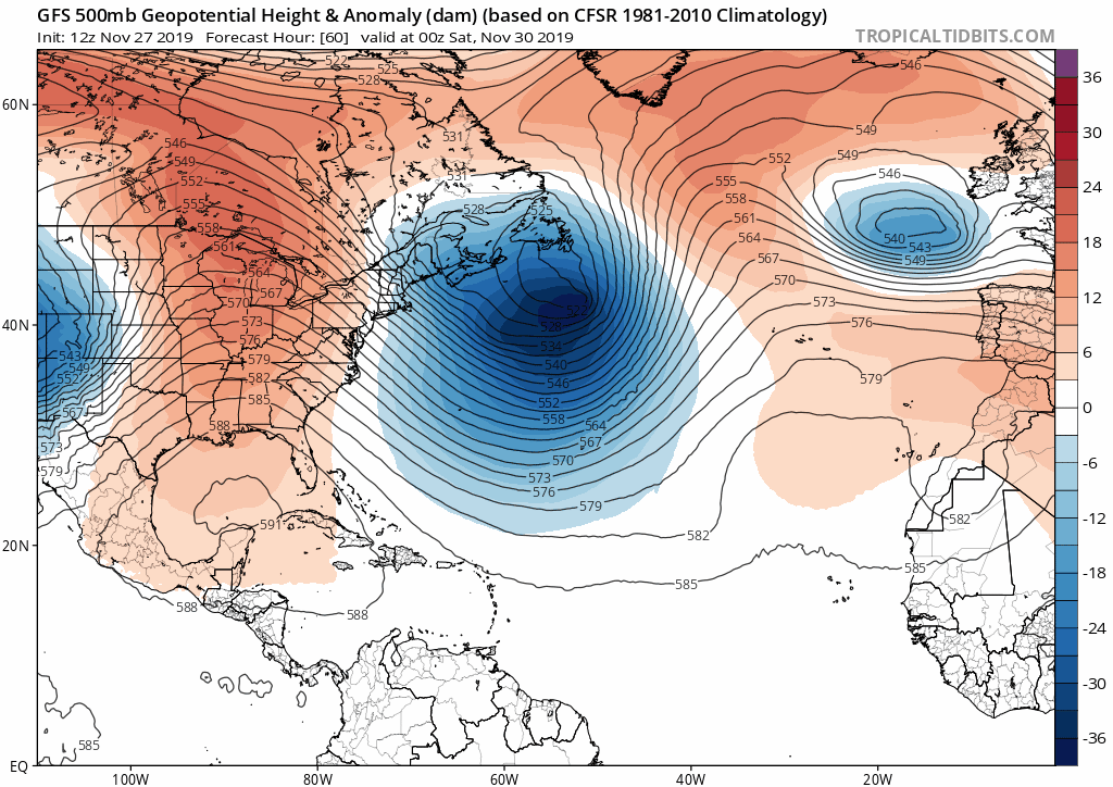
I was thinking of putting out an early call snow forecast map this evening but there is too much uncertainty out there to go down that road at the moment so I will put it off until late tomorrow or early Friday. The European had a colder look to it today and actually did suggest the potential for some accumulating snows in New Jersey north and west of the NJ Turnpike as well as across NYC and Western Long Island northward. There is plenty of time to watch and see if the block comes back stronger and the lows further south over the next few days. Otherwise enjoy your Thanksgiving and the big shopping day. We will be here enjoying it too and bringing you weather updates all weekend long.
BE SURE TO DOWNLOAD THE FREE METEOROLOGIST JOE CIOFFI WEATHER APP &
ANGRY BEN’S FREE WEATHER APP “THE ANGRY WEATHERMAN!
MANY THANKS TO TROPICAL TIDBITS FOR THE USE OF MAPS
Please note that with regards to any severe weather, tropical storms, or hurricanes, should a storm be threatening, please consult your local National Weather Service office or your local government officials about what action you should be taking to protect life and property.


