
Updated National Weather Service Snowfall Forecasts
These are the updated National Weather Service Snowfall forecasts for Thursday night and Friday. Some changes have been made to some forecasts based on overnight forecast models which trended a little drier and a little further south with the forecast track. The major storm that is forecast to develop off the North Carolina coast will track east northeast and offshore. The northern fringe of the snow will extend northward to about New York City and Long Island. Snow coming east from the Ohio Valley ahead of it is likely to weaken Thursday night as it comes east. Some of that snow will survive the trip over the mountains of Pennsylvania but most will get left behind to the west. This leaves whatever moisture to come from the south. The northern extent of that moisture will be limited due to the track of the low.
NEW YORK CITY AND VICINITY SNOW

NEW YORK CITY & VICINITY ICE

NEW JERSEY & PARTS OF NE PA

SOUTHERN AND SOUTHEAST NEW ENGLAND

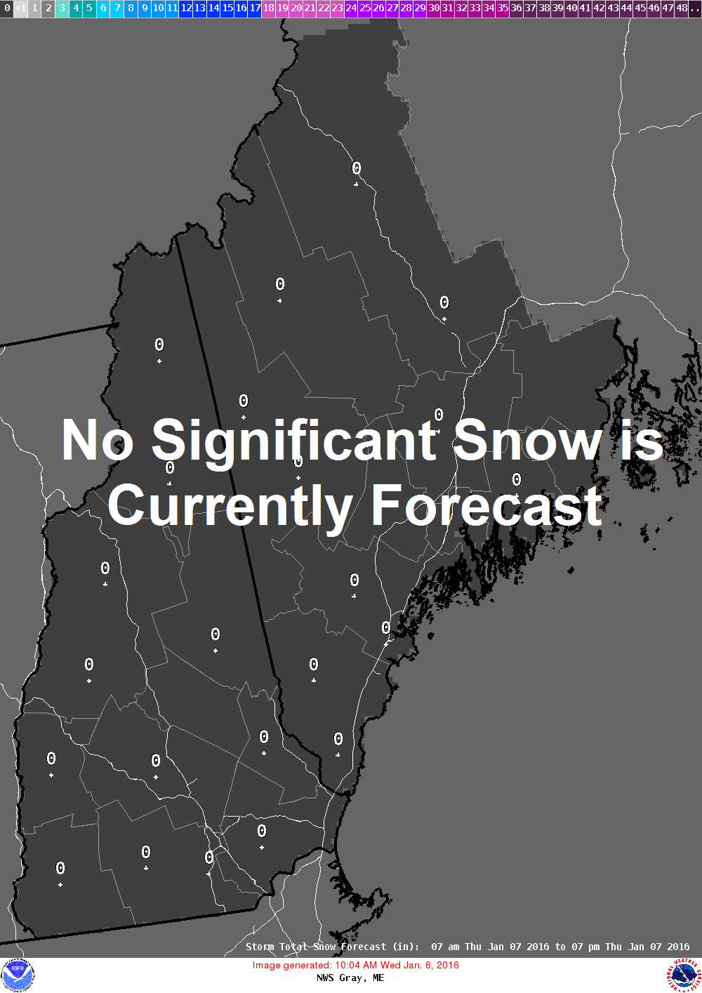
NORTHERN NEW ENGLAND
WESTERN NEW ENGLAND

MIDDLE AND UPPER HUDSON VALLEY

CENTRAL NEW YORK & NE PA

WESTERN NEW YORK

CENTRAL & SOUTH CENTRAL PA

VIRGINIA & MARYLAND

DAILY NORTHEAST SNOWFALL

Please be advised that these are National Weather Service Forecast Maps and they auto update. Each office may update at different times and some offices are slower to update then others. Maps are usually updated before 5am and & 5pm however they may be updated at other times depending on forecast conditions. These are not my forecasts. My forecasts can be found on the JOE’S SNOWFORECAST PAGE. Individual forecasts for specific areas may also be found when conditions warrant on the my area forecasts. Those can be found on the website menu. Click on forecasts and then select your specific area.