Temperatures Continue To Rise Record Highs Possible Next Few Days

Temperatures Continue To Rise Record Highs Possible Next Few Days
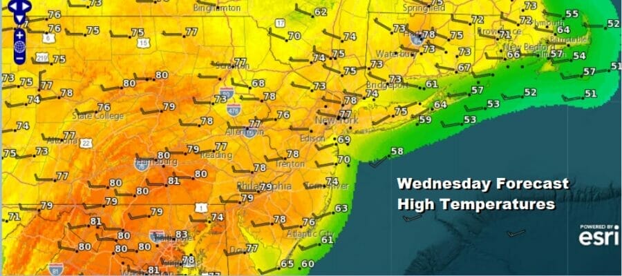
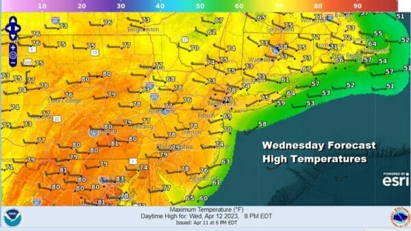
Our dry weather pattern continues today and as we look at the satellite loop there is a weather front well offshore and heading southeast and east. Some high clouds are moving northwest to southeast in the northwest flow. This is a dry flow and any showers moving southeast are drying out well to our north. This leaves in a partly to mostly sunny outlook for today. Temperatures which have not really been able to go down much are now setting us up for higher highs over the next few days. Also depending on how much sun we see some places finish higher than advertised. Highs today will be in the mid 70s to around 80 except near the immediate coast which are subject to afternoon sea breezes.
SATELLITE
WEATHER RADAR
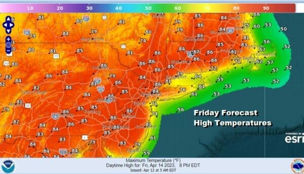
There is alos potential for record high temperatures today in some places and Thursday and Friday in many areas depending on where the low hang ing fruit lies (stations with small data sets). Most lows tonight under clear skies will be in the 50s. Thursday and Friday are rather straight forward. Look for sunshine both days with a west wind and that will take highs up through the 80s Thursday and Friday. I would not at all be surprised if somebody gets to 90 degrees on either day though Friday stands a higher chance of doing that verses Thursday.
The weekend will be very warm both Saturday and Sunday. There is the chance for a passing showers Saturday as winds turn from west to south. This will also lead to slightly lower high temperatures for both Saturday and Sunday. We will call Saturday and Sunday partly sunny. There is a cold front that will be approaching late Sunday.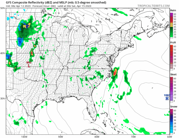
I think that front will hold off reaching the coast until after dark Sunday so the dayside should be dry. HIghs both Saturday and Sunday will be in the upper 70s to lower 80s with cooler temperatures along south and east facing shorelines. We could see some showers and thunderstorms with the frontal passage Sunday night. Next week will be the opposite of this week temperature wise as we head back to average temperatures for this time of year or even below average temperatures on certain days as the ridge in the Eastern US breaks down and is replaced by a series of upper trough coming into the Eastern US from Canada.
BE SURE TO DOWNLOAD THE FREE METEOROLOGIST JOE CIOFFI WEATHER APP &
ANGRY BEN’S FREE WEATHER APP “THE ANGRY WEATHERMAN!
MANY THANKS TO TROPICAL TIDBITS & F5 WEATHER FOR THE USE OF MAPS
Please note that with regards to any severe weather, tropical storms, or hurricanes, should a storm be threatening, please consult your local National Weather Service office or your local government officials about what action you should be taking to protect life and property.

