
Sunday Weather Squeezing Out One More Dry Day
Sunday Weather Squeezing Out One More Dry Day
Severe Weather Risk Monday
The question for Sunday is whether we can squeeze out one more dry day before we deal with rain and thunderstorms on Monday. It appears that for most (but not all of the area) Sunday should be a dry day. Another system is dropping southeast from the Great Lakes and by early Sunday afternoon it will be producing some showers in Northeastern Pennsylvania, The Catskills and Western areas of the Hudson Valley.
SUNDAY WEATHER NAM MODEL 2PM
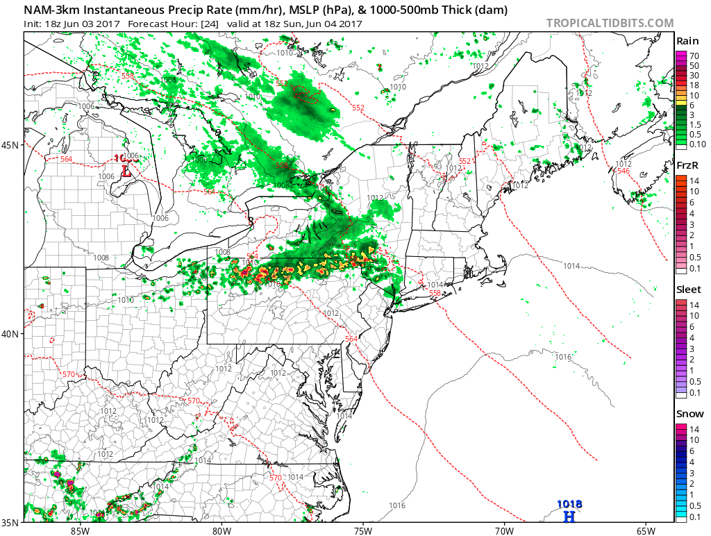
The NAM 3KM model which has been pretty reasonable of late, has a line of thunderstorms developing across Northern Pennsylvania by early Sunday afternoon but by Sunday evening much of the activity weakens.
SUNDAY WEATHER NAM MODEL 8PM

Meanwhile on the satellite loop tonight skies are clear and it is actually quite a nice Saturday night with comfortable temperatures and humidity. Most lows tonight should be in the 50s as skies remain clear all night long.
SATELLITE LOOP

REGIONAL RADAR

LOCAL RADAR NEW YORK CITY

LOCAL RADAR PHILADELPHIA


For Sunday except for areas mentioned above much of Central & Southern New Jersey, Southern Connecticut and Long Island and points southward should remain rain free as will much of Southeastern Pennsylvania. Monday brings the next round of wet weather and this looks to be a bit more substantial as low pressure begins to organize nearby.
MONDAY WEATHER NAM MODEL CLICK TO ANIMATE
2AM MONDAY UNTIL 8PM MONDAY
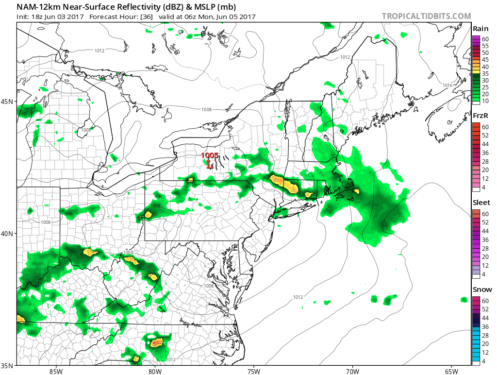
The Storm Prediction Center of the National Weather Service has a marginal risk of severe weather indicated for much of the area and I would not be at all surprised to see this upgraded a bit during the next few days.

After Monday things remain unsettled into midweek thanks to a strong upper air storm overhead and an onshore flow. This will likely mean cloud issues into at least Wednesday and the chance for showers though for the moment they seem to be well inland and west of the coast. There is still no sign of any hot weather coming anytime soon.
 GET JOE A CIGAR IF YOU LIKE

LANDSCAPE COMPANIES FOR YOUR NEEDS
LONG ISLAND ROCKLAND COUNTY Connecticut

![]()

ROCKLAND COUNTY TRI STATE SNOW REMOVAL JOHNSTOWN PA


FiOS1 News Weather Forecast For Long Island
FiOS1 News Weather Forecast For New Jersey
FiOS1 News Weather Forecast For Hudson Valley
NATIONAL WEATHER SERVICE SNOW FORECASTS
LATEST JOESTRADAMUS ON THE LONG RANGE
Weather App

Don’t be without Meteorologist Joe Cioffi’s weather app. It is really a meteorologist app because you get my forecasts and my analysis and not some automated computer generated forecast based on the GFS model. This is why your app forecast changes every 6 hours. It is model driven with no human input at all. It gives you an icon, a temperature and no insight whatsoever.
It is a complete weather app to suit your forecast needs. All the weather information you need is right on your phone. Android or I-phone, use it to keep track of all the latest weather information and forecasts. This weather app is also free of advertising so you don’t have to worry about security issues with your device. An accurate forecast and no worries that your device is being compromised.
Use it in conjunction with my website and my facebook and twitter and you have complete weather coverage of all the latest weather and the long range outlook. The website has been redone and upgraded. Its easy to use and everything is archived so you can see how well Joe does or doesn’t do when it comes to forecasts and outlooks.
Just click on the google play button or the apple store button on the sidebar for my app which is on My Weather Concierge. Download the app for free. Subscribe to my forecasts on an ad free environment for just 99 cents a month.
Get my forecasts in the palm of your hand for less than the cost of a cup of Joe!


