Snow Inland Tonight Updated Forecast
Snow Inland Tonight Updated Forecast
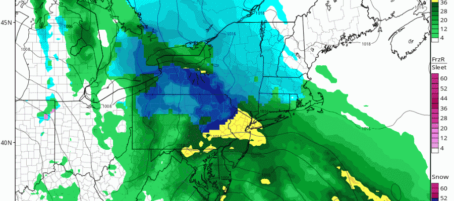
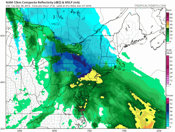
Anytime you are dealing with a situation like this it leads to hair pulling and frustration. The NAM model which has been the model of choice lately backed off last night on the intensity of precipitation and of course this morning as the new model run unfolds, we see it going back in the other direction with more robust precipitation and more snow for the Northwestern Counties of New Jersey, Northeastern Pennsylvania (especially there) and areas along an just either side of route 84 in NY and Connecticut.
The radar view below which is in real time is pretty loaded at the moment. Rain will begin to overspread the area this afternoon and this evening and then we watch what happens as colder air aloft works into the equation. this is not an issue for areas close to the coast so for the rest of New Jersey, Southeastern Pennsylvania, Southeast NY and Coastal Connecticut it is rain.
The maps below are the National Weather Service forecast snow maps with the most likely snowfall prediction. I think for now this is a fair representation of what will happen. I never like these situations because it is where things can sometimes surprise.


