Snow Coating To A Couple of Inches
Snow Coating To A Couple of Inches
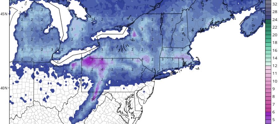
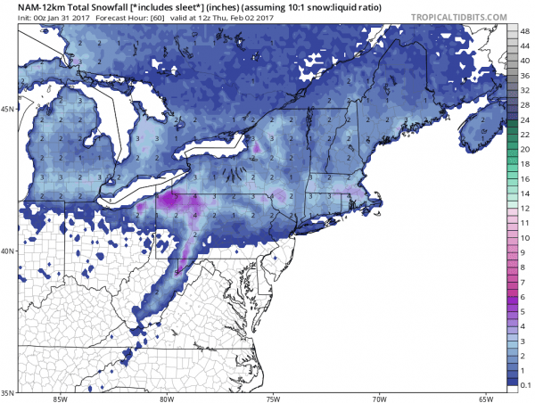
Our clipper system for today is moving right along and it appears that there will be lead burst of snow from 9am until about noon or so and then a second area will fill in and take over from early afternoon until early evening. With the primary low tracking a shade further north it seems to me that the best chances for anything more than a coating will be in areas along and north of Route 78 in New Jersey and Eastern Pennsylvania northeast to the Lower Hudson Valley along and north of 287 and in Connecticut north of Route 15. I think the NAM model has the best representation of this in its snowfall map. Areas in North Central and Northeastern Connecticut north and east could wind up with several inches or more as they will tap the development of the secondary low that forms along the New Jersey coast.
South of this area some snow will fall but I’m thinking that no more than a coating or perhaps at most an inch of snow will accumulate. There are no issues for the morning commute. Temperatures will be below freezing inland of the coast so the snow will stick on some road surfaces.
Systems like this are always tricky propositions so we are going to watch the radars closely to see if models overdo or underdo the area of snow. In a winter where we seem to be fighting for every snowflake, an upside surprise seems rather unlikely to occur. Once this system pulls out, the weather for the rest of the week should be relatively tame. Wednesday will be dry and mild with temperatures in the 40s before a cold high to the west begins building in. There could be some snow showers around on Thursday as colder air takes over for the remainder of the week.
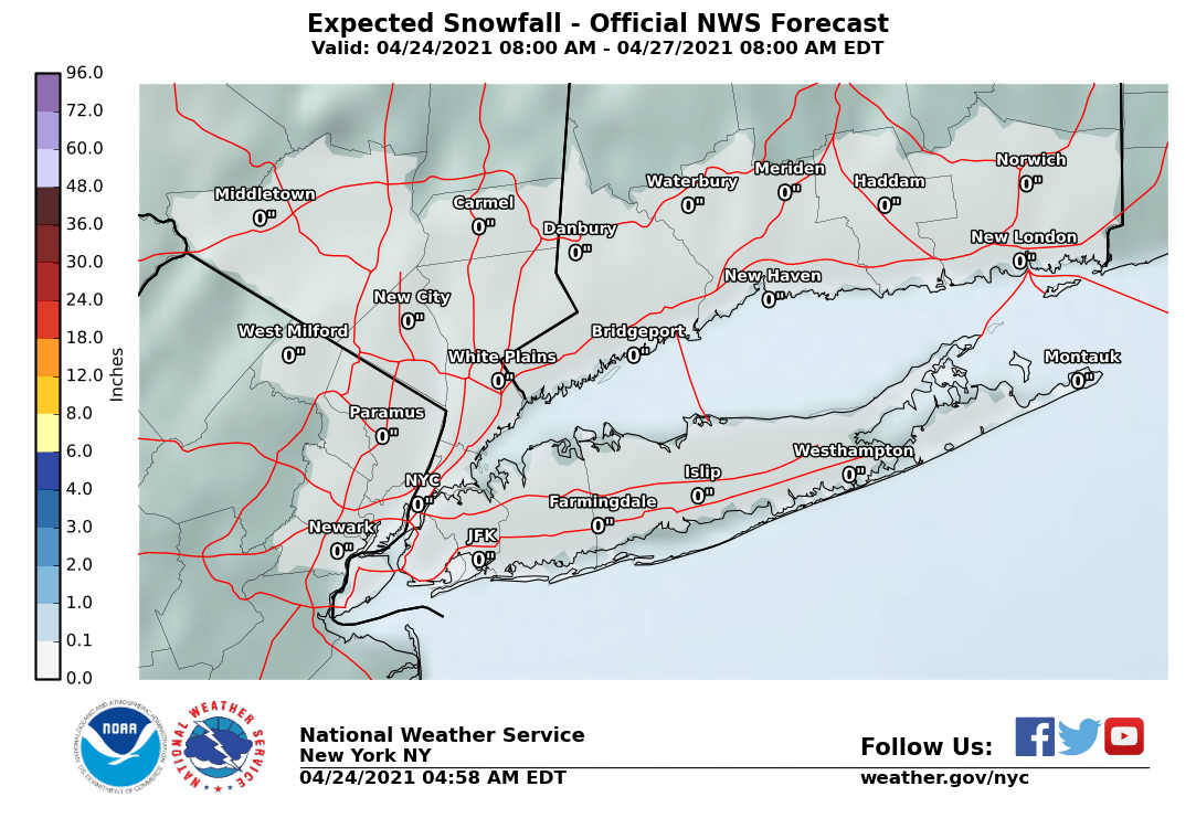
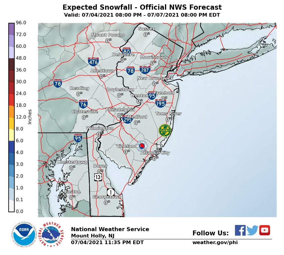
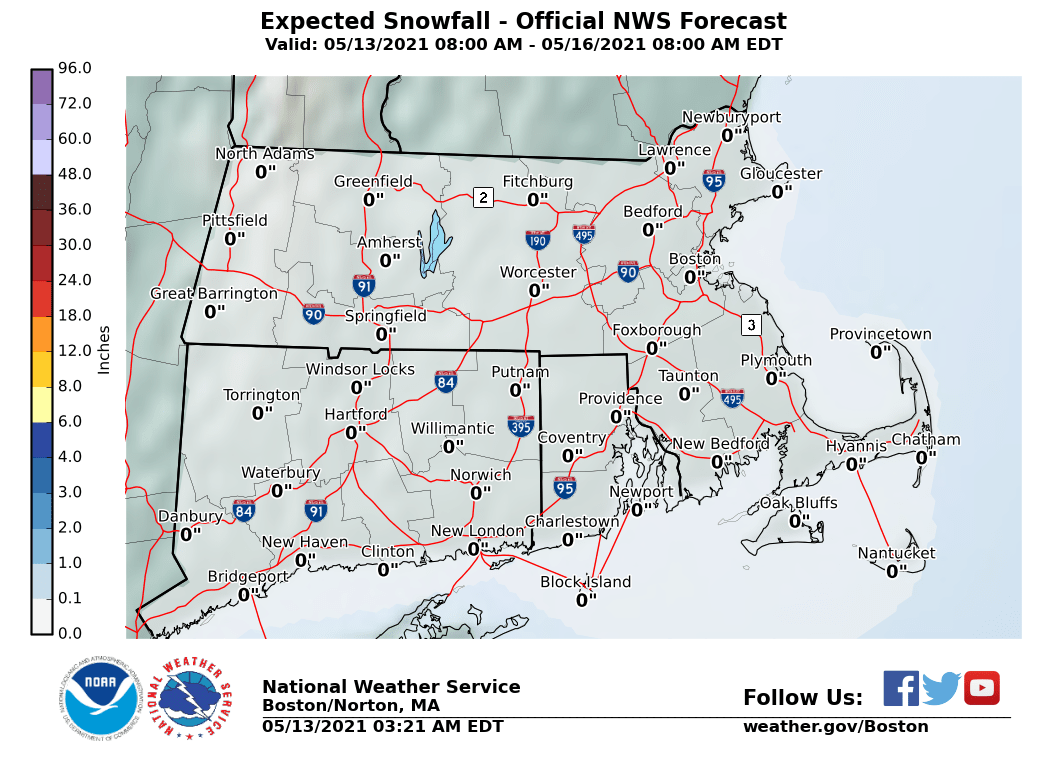
The maps below are the National Weather Service forecast snow maps with the most likely snowfall prediction.

