
Showers Into Early Afternoon Dry Friday Warm Saturday Very Cold Sunday

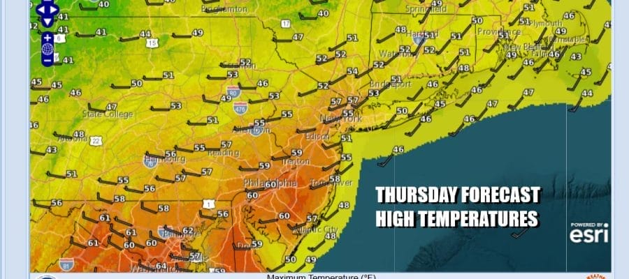
A warm front and a cold front will be moving through Eastern Pennsylvania to Southern New England today and that is causing showery rains into midday. They will end from west to east and we will probably deal with leftover clouds this afternoon. it will be a warm day with highs reaching the 60s from Central and Southern New Jersey southward, low to mid 50s to the north into the Hudson Valley and Southern New England. South facing shorelines like Southern Connecticut and Long Island will likely be in the mid 40s to around 50. Rainfall amounts should be on the light side, mostly under a tenth of an inch.
SATELLITE WITH LIGHTNING STRIKES

WEATHER RADAR

As we close out February and head into March we will be heading into the first of the three fastest warming months on the calendar. Temperature contrasts across the US can grow quite wide with northern tier states still seeing very cold temperatures and the southern tier seeing very warm temperatures. Sometimes the temperature spread across north to south can be 100 degrees or more and that creates huge volatility in the atmosphere.
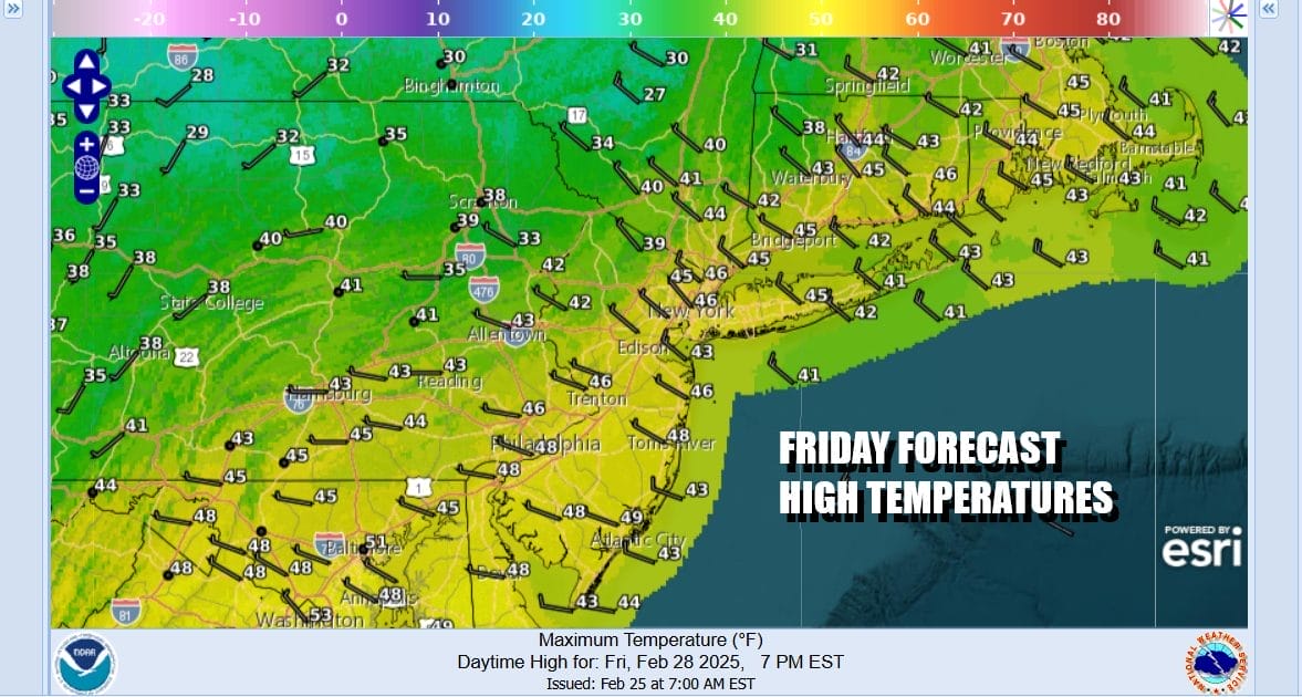
We are going to experience some of that volatility in the temperature department over the coming days. Once today’s cold front passers we will cool down Friday. Weather conditions will improve and we will have a fair amount of sunshine. Highs Friday will be mostly in the upper 40s and lower 50s.
The next cold front heads our way Saturday as low pressure dives southeast from Canada and into the Great Lakes. It then moves eastward into Southeastern Canada/Northern New England. We will warm up ahead of it Saturday with west winds and clouds mixing with some breaks of sun. Highs will be in the 50s to around 60 degrees. The front is going to come through mostly dry though we can’t rule out the chance for a shower.

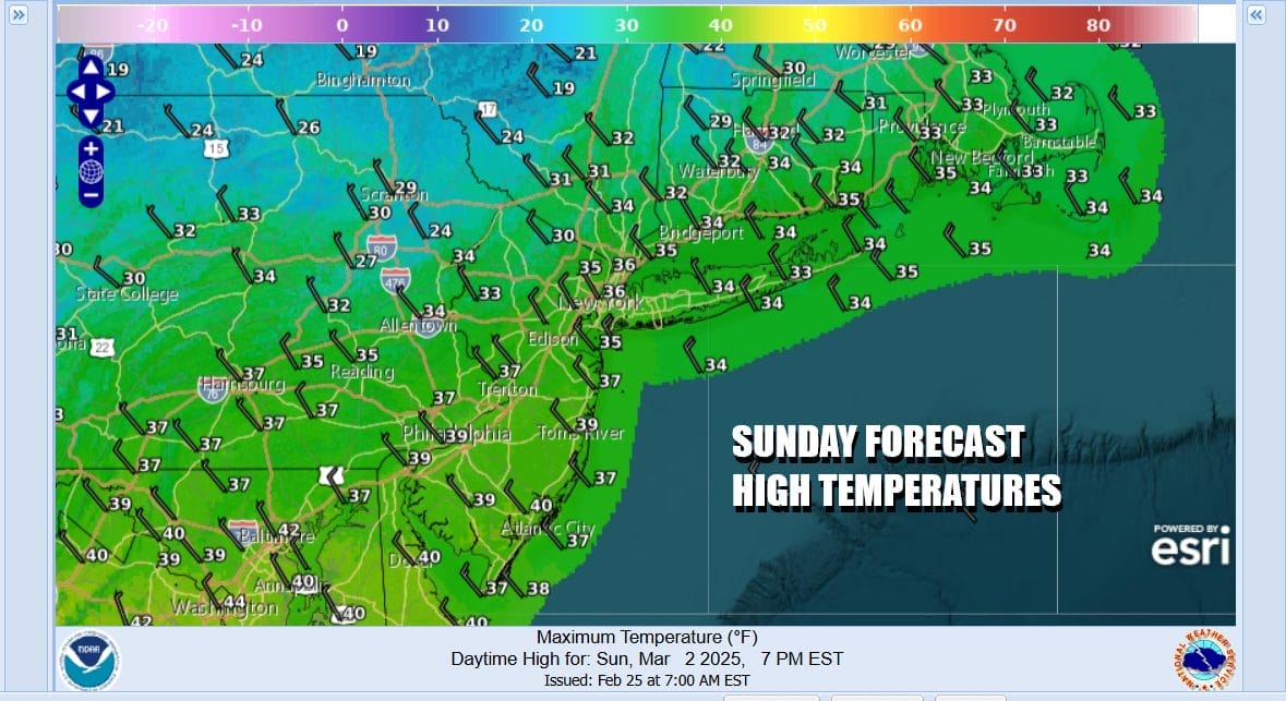
A colder Canadian air mass will build southeastward Sunday and spread across the Eastern US. Temperatures Sunday will be much colder. We will have some sunshine and a gusty northwest wind. High temperatures Sunday will only be in the low to mid 30s at best and then dropping into the teens to near 20 Monday morning.
Next week will start out very cold with Monday being another day of highs just into the low to mid 30s. Attention then turns to a developing storm in the Central Plains that will be heading to the Great Lakes for the middle part of next week. This storm is going to be producing widespread severe weather across the Deep South and Southeast US and we will likely see rain and perhaps even some thunderstorm activity next Wednesday.
BE SURE TO DOWNLOAD THE FREE METEOROLOGIST JOE CIOFFI WEATHER APP &
ANGRY BEN’S FREE WEATHER APP “THE ANGRY WEATHERMAN!
MANY THANKS TO TROPICAL TIDBITS FOR THE USE OF MAPS
Please note that with regards to any severe weather, tropical storms, or hurricanes, should a storm be threatening, please consult your local National Weather Service office or your local government officials about what action you should be taking to protect life and property.


