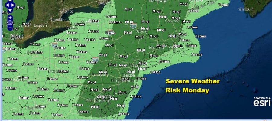
Severe Weather Risk Today Tuesday Heat Humidity Thunderstorms
We have another steam bath day underway with sunshine in a high humidity environment. The atmosphere is unstable enough for thunderstorms to develop this afternoon. They should form in scattered clusters but the Storm Prediction Center has the area from Northeast Virginia to Maine at a marginal risk for severe weather.
SATELLITE

REGIONAL RADAR

Radars will start to get active this afternoon as temperatures climb to the upper 80s and lower 90s. For now activity is minimal.
LOCAL RADAR NEW YORK CITY

LOCAL RADAR PHILADELPHIA


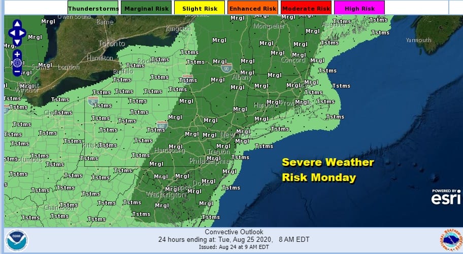
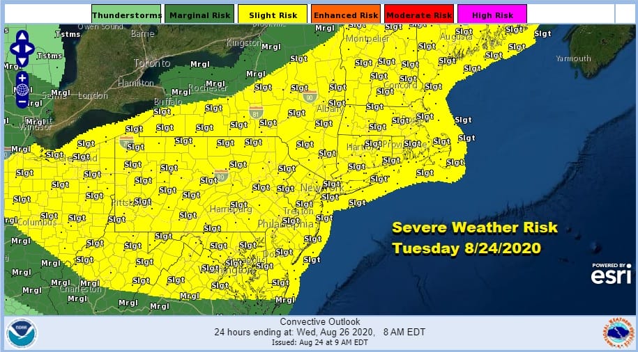
Once any thunderstorms are done this evening, (some of you will see them some you don’t) it is back to very warm and humid conditions with lows in the upper 60s to mid 70s. Tuesday we have a sharp cold front approaching and a very unstable atmosphere. Hot and humid conditions ahead of the front will send highs to the upper 80s to lower 90s. Thunderstorms will develop later in the afternoon and evening Tuesday. The severe weather risk Tuesday is higher and widespread activity is possible from Virginia to New England.
This weather front is going to move into the Carolinas thanks to strong upper air winds from the northwest. That flow will bring down lower humidity and cooler air for Wednesday into Thursday. We are looking at some sunshine for Wednesday. Most highs will be in the upper 70s to lower 80s however warmer and more humid air will be coming back in a hurry. There could be some scattered showers and thunderstorms late Wednesday night into Thursday as a warm front goes by. Highs Thursday will be in the mid to upper 80s with high humidity.

Things get a bit complicated for Friday and Saturday as another cold front moves through and stalls and then we get a wave that develops on that front. The remnants of Laura might get involved but there is some degree of uncertainty about this. It seems either way we could see showers later Friday and Saturday before a nice dry high from Canada builds in next Sunday.
BE SURE TO DOWNLOAD THE FREE METEOROLOGIST JOE CIOFFI WEATHER APP &
ANGRY BEN’S FREE WEATHER APP “THE ANGRY WEATHERMAN!
MANY THANKS TO TROPICAL TIDBITS FOR THE USE OF MAPS
Please note that with regards to any severe weather, tropical storms, or hurricanes, should a storm be threatening, please consult your local National Weather Service office or your local government officials about what action you should be taking to protect life and property.


