Severe Thunderstorm Warning NE PA Catskills
Severe Thunderstorm Warning NE PA Catskills
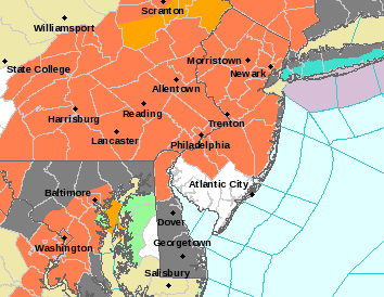
The National Weather Service in Binghamton has issued a

* Severe Thunderstorm Warning for...
  Southeastern Lackawanna County in northeastern Pennsylvania...
  Southern Wayne County in northeastern Pennsylvania...
  Luzerne County in northeastern Pennsylvania...
  Pike County in northeastern Pennsylvania...

* Until 630 PM EDT.

* At 527 PM EDT, severe thunderstorms were located along a line
  extending from near Bethany to near Mount Cobb to near Bear Creek
  Village to near Shickshinny, moving east southeast at 40 mph.

  HAZARD...60 mph wind gusts.

  SOURCE...Radar indicated.

  IMPACT...Expect damage to roofs, siding, and trees.

* Severe thunderstorms will be near...
  Honesdale, Prompton and Bethany around 530 PM EDT.
  Moscow, Arlington and Ledgerdale around 535 PM EDT.
  Blooming Grove, Paupack and Sterling around 540 PM EDT.
  White Haven, Greeley and Angels around 545 PM EDT.
  Stoddartsville around 550 PM EDT.
  Montague, Milford and Pecks Pond around 555 PM EDT.
  Port Jervis around 600 PM EDT.
  Dingmans Ferry around 605 PM EDT.

PRECAUTIONARY/PREPAREDNESS ACTIONS...

For your protection move to an interior room on the lowest floor of a
building.
EASTERN SATELLITE

REGIONAL RADAR

LOCAL RADAR NEW YORK CITY

LOCAL RADAR PHILADELPHIA


The National Weather Service in Binghamton has issued a

* Severe Thunderstorm Warning for...
  Southern Sullivan County in central New York...
  Northern Wayne County in northeastern Pennsylvania...
  Northeastern Pike County in northeastern Pennsylvania...

* Until 600 PM EDT.

* At 510 PM EDT, a severe thunderstorm was located near Equinunk, or
  16 miles north of Honesdale, moving southeast at 35 mph.

  HAZARD...60 mph wind gusts.

  SOURCE...Radar indicated.

  IMPACT...Expect damage to roofs, siding, and trees.

* This severe thunderstorm will be near...
  Rutledgedale, Hankins and Stalker around 520 PM EDT.
  Damascus, Callicoon and Hortonville around 525 PM EDT.
  Cochecton, Fosterdale and Narrowsburg around 530 PM EDT.
  Lava around 535 PM EDT.
  Bethel, White Lake and Smallwood around 540 PM EDT.
  Eldred, Highland Lake and Mongaup Valley around 545 PM EDT.
  Glen Spey around 550 PM EDT.
  Hartwood around 555 PM EDT.

PRECAUTIONARY/PREPAREDNESS ACTIONS...
 GET JOE A CIGAR IF YOU LIKE

LATEST JOESTRADAMUS ON THE LONG RANGE