
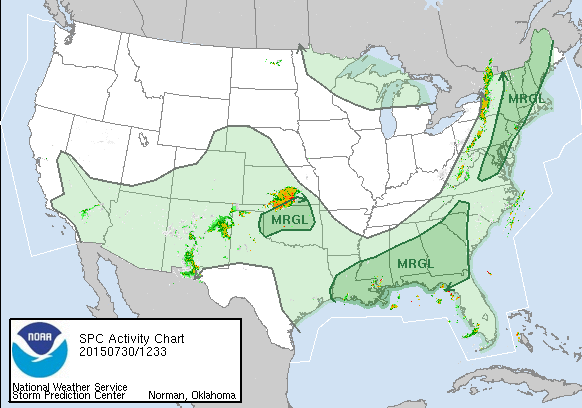
Radar is already showing a line of developing showers and thunderstorms and the Storm Prediction Center has us at risk for severe weather later today. Along the coast the south wind may temper those storms once they move east of New York City. I would suspect the storms will be at their strongest from NYC westward. The air mass behind the front is not all that cool so the dynamics here are not particularly strong. However they are strong enough to produce some powerful cells. Strongest heating today is in interior New England and I suspect this area is at most risk for severe weather.
Behind the front lower humidity comes tomorrow and for the weekend although temperatures will still be very warm.