

USE THE COUPON CODE “summer2026” AND GET 10 PERCENT OFF ON ANY PURCHASE

Nor’easter Conditions For A Third Day
As Storm Tracks Southward Off The New Jersey Coast
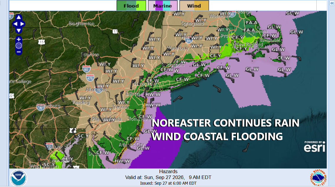
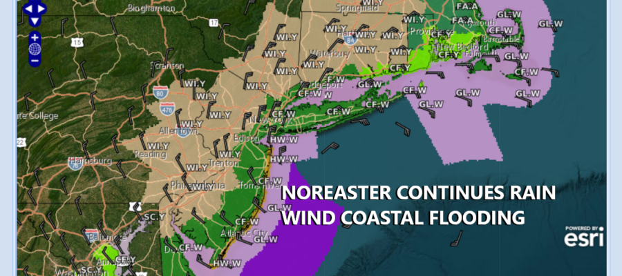
Day 3 of the powerful nor’easter after a busy overnight of strong winds heavy rains and coastal flooding pummeling areas from Delaware to Southeastern New England. The low center now sits off the coast of New Jersey. It is in the process of completing a counter clockwise loop. We are still going to be dealing with rain wind and coastal flooding today but we seem to be past the peak of the storm. Bands of rain continue to rotate around the storm center but there are gaps in between. Another inch to and inch and a half of rain is possible but the good news is that we will see winds decrease late this afternoon into tonight and the intensity of the rain bands should diminish over time. High tide issues continue today as we are at peak tides in the lunar cycle. Temperatures today will be in the upper 50s and lower 60s in most places.
SATELLITE WITH LIGHTNING STRIKES

WEATHER RADAR

Once the storm completes its counterclockwise loop, the low will emerge again over the coastal waters but it will be in a weaker state overnight and Monday. Winds while gusty will continue to slowly but surely wind down Monday. Rain areas will shift northeastward to New York City, Long Island and New England.
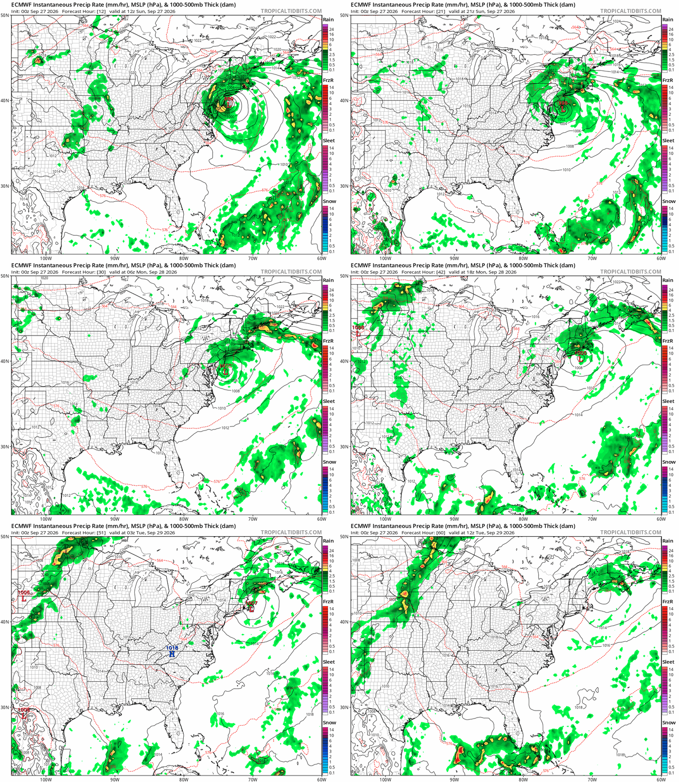
The storm pulls away to the northeast Monday night and skies should finally start to partially clear going into Tuesday morning. Tuesday we will finally see a return to some sunshine! Temperatures Monday will be in the 60s but highs Tuesday should be able to return into the lower 70s. The rest of the week will be dry and on the warm side of average. It appears the next chance for any rain won’t arrive until late next weekend at the earliest and it will not be another coastal storm!
LATEST RAINFALL REPORTS https://partnerservices.nws.noaa.gov/products/cache/269-2026/PNSOKX/5244c1c6b828b585cec956ef197f7ba8
LATEST WIND REPORTS https://partnerservices.nws.noaa.gov/products/cache/269-2026/PNSOKX/6619f5fcf89d9507ff8055e1caebdf1f
MANY THANKS TO TROPICAL TIDBITS FOR THE USE OF MAPS
Please note that with regards to any severe weather, tropical storms, or hurricanes, should a storm be threatening, please consult your local National Weather Service office or your local government officials about what action you should be taking to protect life and property.
