
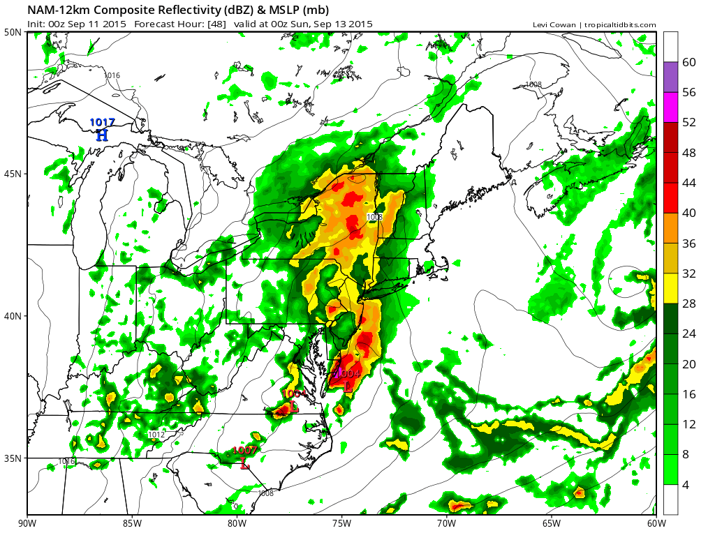
The next round of rain will come Saturday afternoon and Saturday night as a strong upper trough swings out of the midwest and into the northeast. There will be an impressive looking area of rain ahead of the trough but already we are seeing the Nam model showing less with every new model run. As impressive as the upper trough is, given we are seeing under performance with every system that has passed through in the last few month, it is likely that this one may under perform as well. My earlier thoughts were that this would be different this time but I am fighting a persistent dry pattern and a stubborn atmosphere that almost refuses to saturate and give up any of its moisture.
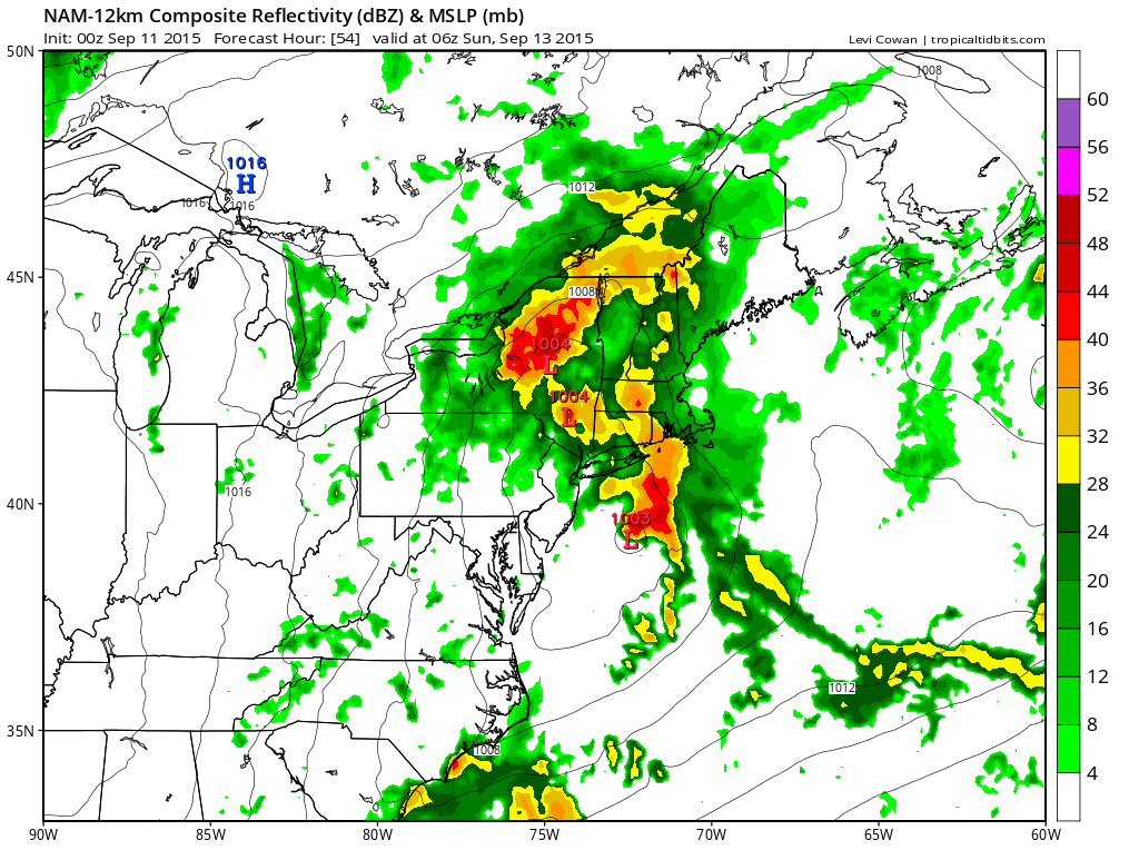
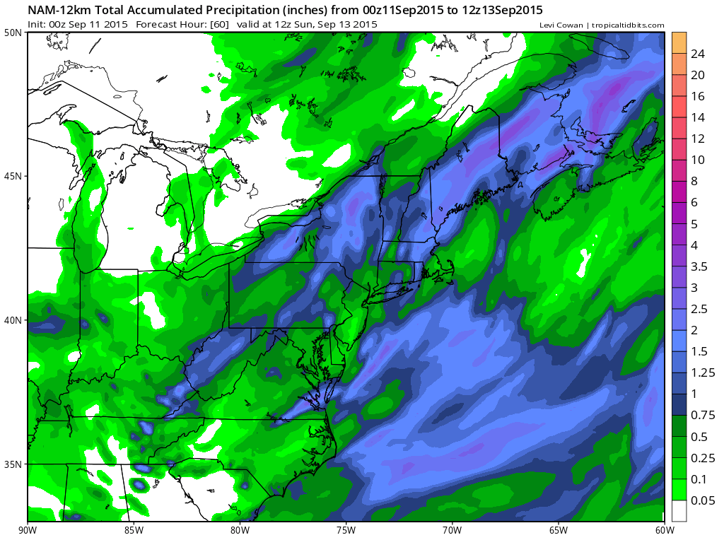
By Sunday morning the Nam has the rain already shifted away to the northeast with a few leftover showers around on Sunday morning. Rainfall amounts are in the half inch to an inch rain on average. I would think we should be able to pull that off. Some thunderstorms could probably produce locally higher amounts.
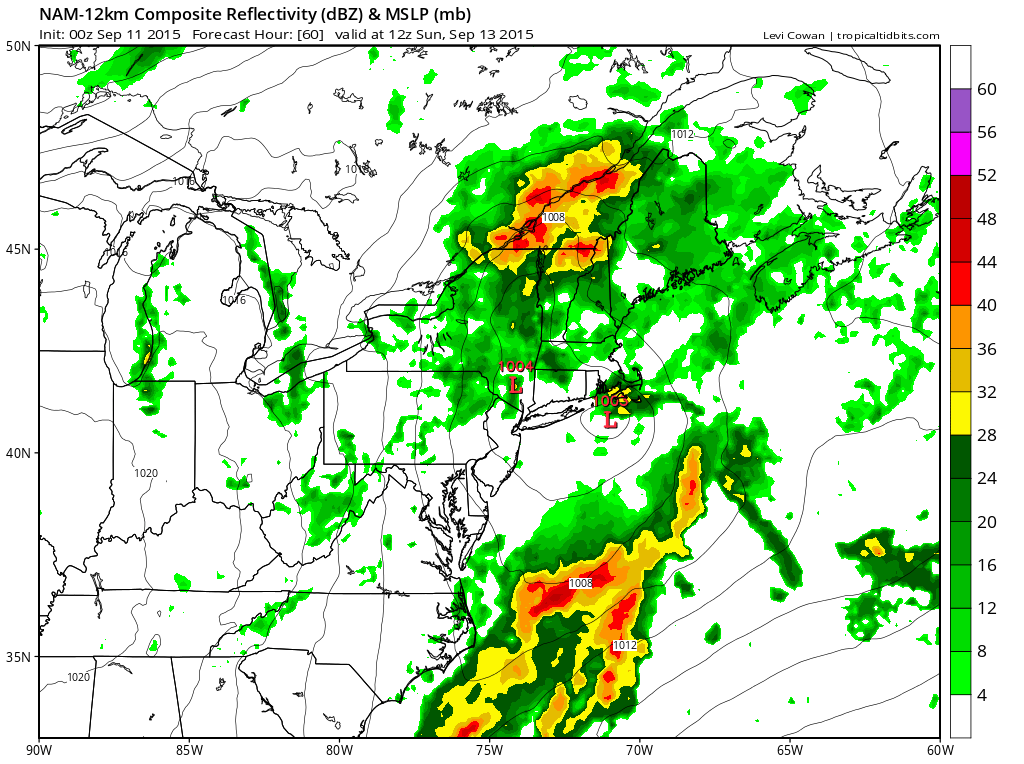
 Sunday could see some slow improvement as dry air tries to move in but there may be clouds around due to the strong upper trough swinging through. Some breaks of sunshine should develop with temperatures in the 70s. Monday we will see a mix of sun and clouds with highs in the 70s. Then it is back to a strong ridge in the east that will be with us for the rest of the week. Above normal to much above normal temperatures will take over but how much above will depend day to day on cloud cover (how much) and wind direction as there may be a flow from off the ocean that could offset temperatures to some degree. Still I would expect temperatures to be back into the 80s on Tuesday and perhaps well into the 80s later in the week. Beyond Thursday there could be a back door front that cuts any heat off but we will deal with that as we get closer and we will wait and see what the long range models tell us.


