
Mothers Day Clouds Wind Showers
Mothers Day Clouds Wind Showers
Yesterday had to be one of the most miserable mid May days that i can remember. Many areas broke records for record low highs yesterday. Rainfall amounts totaled 2 to 3 inches or more in parts of Coastal & Southern New Jersey while amounts in North Jersey were roughly half as much to less than inch across Eastern Long Island and Eastern Connecticut.
Today the storm system will sit in the Gulf of Maine and intensify a bit. We will see some breaks of sun through the clouds but clouds will dominate and there could be a few passing showers around. We still see them on the radar. An upper air disturbance will pass through later today and trigger a few more scattered showers. Temperatures today will reach the 60s which is no brainer this time of year. Once the sun come out and no ocean wind allows temperatures to bounce higher.
SATELLITE LOOP

REGIONAL RADAR

LOCAL RADAR NEW YORK CITY

LOCAL RADAR PHILADELPHIA


The week ahead looks to be fairly calm and temperatures will be on the rise. Sunshine Monday will take temperatures into the 70s but it will be windy especially along the shore. Tuesday will be a repeat but winds will begin to drop off.
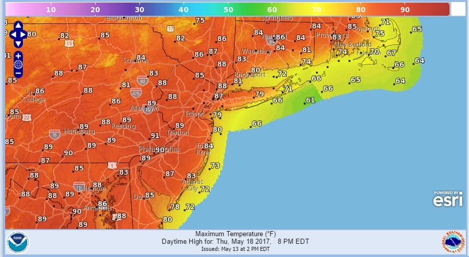
Wednesday and Thursday temperatures are headed higher and we are still on course for temperatures making a run for 90 degrees on Thursday and even coastal areas will reach the 80s. No shower threat is in the cards to perhaps Thursday night. Friday and Saturday will be cooler with an onshore flow but should be milder than average as long as there are some breaks of sun. No big storms are on the horizon.
 GET JOE A CIGAR IF YOU LIKE

LANDSCAPE COMPANIES FOR YOUR NEEDS
LONG ISLAND ROCKLAND COUNTY Connecticut

![]()

ROCKLAND COUNTY TRI STATE SNOW REMOVAL JOHNSTOWN PA


FiOS1 News Weather Forecast For Long Island
FiOS1 News Weather Forecast For New Jersey
FiOS1 News Weather Forecast For Hudson Valley
NATIONAL WEATHER SERVICE SNOW FORECASTS
LATEST JOESTRADAMUS ON THE LONG RANGE
Weather App

Don’t be without Meteorologist Joe Cioffi’s weather app. It is really a meteorologist app because you get my forecasts and my analysis and not some automated computer generated forecast based on the GFS model. This is why your app forecast changes every 6 hours. It is model driven with no human input at all. It gives you an icon, a temperature and no insight whatsoever.
It is a complete weather app to suit your forecast needs. All the weather information you need is right on your phone. Android or I-phone, use it to keep track of all the latest weather information and forecasts. This weather app is also free of advertising so you don’t have to worry about security issues with your device. An accurate forecast and no worries that your device is being compromised.
Use it in conjunction with my website and my facebook and twitter and you have complete weather coverage of all the latest weather and the long range outlook. The website has been redone and upgraded. Its easy to use and everything is archived so you can see how well Joe does or doesn’t do when it comes to forecasts and outlooks.
Just click on the google play button or the apple store button on the sidebar for my app which is on My Weather Concierge. Download the app for free. Subscribe to my forecasts on an ad free environment for just 99 cents a month.
Get my forecasts in the palm of your hand for less than the cost of a cup of Joe!


