Major Storm Departs Calmer Weather Ahead Long Range
Major Storm Departs Calmer Weather Ahead Long Range
The 5th major storm in 6 weeks in the East is now moving through Central and Northern New England. Heavy rains of 2 to 3 inches, strong winds for 2 days, coastal flooding, and thunderstorms all combining to produce 3 seasons in 2 days. We went from 80s Saturday to 30s Sunday back to 60s today. Such is spring especially when a major storm impacts 2/3rds of the US over the course of days with every warning under the sun going up from blizzard warnings in the Midwest to Tornado warnings in the Gulf States and Southeast US. Now it is all done and the weather ahead looks a lot calmer with no major storms ahead of us.
US SATELLITE
The visible satellite shows the strong storm covering the Great Lakes Ohio Valley and Northeast but the radar shows the rain now moving through Central and Northern New England. Colder air on the back side is creating some snow in Western NY and parts of Western Pennsylvania. For us there could be one more stray shower but skies should try to partially clear tonight as temperatures drop into the 30s.
REGIONAL RADAR
LOCAL RADAR NEW YORK CITY
LOCAL RADAR PHILADELPHIA

Tuesday’s problem will be the strong upper trough overhead with cold air aloft and at the surface. That means clouds and temperatures that will be hard pressed to get out of the 40s. A passing shower is possible tomorrow with the cold unstable air but much of the day should be dry. Wednesday looks better with sunshine most of the day and highs back into the 50s.
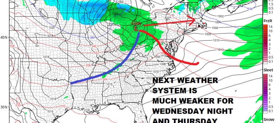
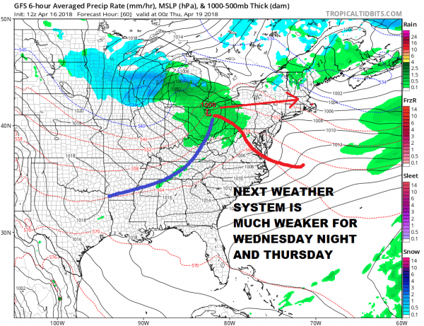
GFS WEDNESDAY APRIL 18, 2018 8PM EDT
The next weather system will take aim on the East for Wednesday night and Thursday. There is some weak blocking which might argue for a more southern track as the European model has but then again the European model seems to be the only one doing this so we will lean against it. The NAM might have the right idea holding on to a primary in upstate NY with a secondary developing off the New Jersey coast but the overall look of this system seems weak. After this major storm there really isn’t a whole lot for this system to work on. We will lean toward clouds Wednesday night with perhaps some showers in the early morning hours on Thursday and then maybe another shower or two late Thursday. Highs could reach the 60s. Then dry weather follows and right now we are leaning optimistic for Friday and the weekend.
FINAL RAINFALL AMOUNTS FOR NORTHEAST NEW JERSEY, HUDSON VALLEY, NYC LONG ISLAND & CONNECTICUT.
FINAL RAINFALL AMOUNTS FOR WESTERN & SOUTHERN NEW JERSEY, EASTERN PENNSYLVANIA, DELAWARE
 GET JOE A CIGAR IF YOU LIKE
FiOS1 News Weather Forecast For Long Island
FiOS1 News Weather Forecast For New Jersey
FiOS1 News Weather Forecast For Hudson Valley


