Lower Humidity Sunshine But Very Warm Temperatures
No Rain Forecast Through the Weekend

Lower Humidity Sunshine But Very Warm Temperatures
No Rain Forecast Through the Weekend
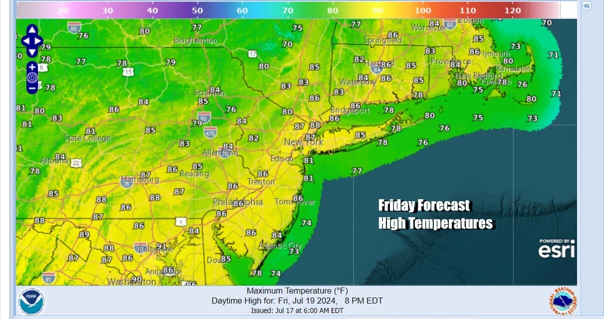
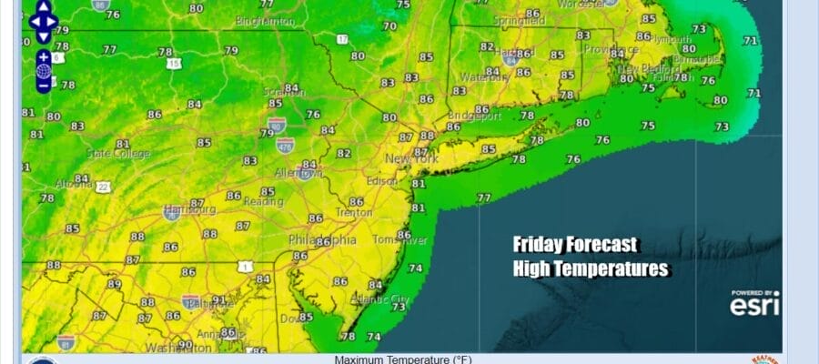
It took awhile for the low humidity air mass to build into the Northeast and Northern Mid Atlantic states but it is finally here. We look ahead to a weekend where we have no rain in the forecast and temperatures that are very warm but not extreme and humidity levels that will edge higher but not get too out of hand. There are no issues today. It is a day of blue skies and sunshine and nothing more than a few passing clouds. Highs this afternoon will be in the middle to upper 80s. Dew points will be in the 50s all day so humidity levels are nice and low.
SATELLITE WITH LIGHTNING STRIKES

WEATHER RADAR

Radars are nice and quiet across the Northeast & Mid Atlantic states today and for the most part we see local radars remaining quiet through Sunday and probably into the first part of Monday. Skies tonight will be nice and clear with most lows in the 60s. Some of the coolest spots inland will be in the 50s while warmer urban areas will be closer to 70.

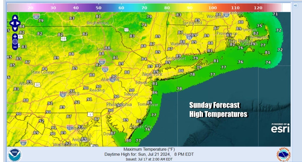
Dew points will rise into the lower 60s Saturday which technically makes this a little less comfortable but we just came out of a stretch of ridiculously high humidity levels so in comparison it will feel fine. Saturday will be no worse than partly sunny with highs mostly in the middle to upper 80s.Temperatures will be a little cooler at the shore with local sea breezes developing. The same holds for Sunday
While the Northeast and Northern Mid Atlantic enjoy a nice weekend, Wednesday’s cold front has now stalled out across the Southern Mid Atlantic west into the Lower Ohio and Tennessee Valley. South of the frontal boundary it will be very warm and humid with showery rains and thunderstorms across the Deep South and Southeast US. The upper flow over the Northeast is from the northwest so that is holding that moisture at bay at least through Sunday.

Next week we see the upper flow turning more southwest and that will start to bring up that moisture. We should be dry through the dayside Monday but we will see dew points move back toward 70 and Monday highs under partly sunny skies will reach the upper 80s and lower 90s. Showers and thunderstorms might pop up Monday evening but we see increasing chances for showers and thunderstorms beginning Tuesday and lasting probably through Friday. It is not a situation where it rains all the time but there will be showers and thunderstorms around mainly during the late afternoon and evening hours. Humidity levels will be high all of next week but temperatures will not be running back to the mid to upper 80s. More clouds and the risk for showery rains will likely keep daytime highs mostly in the 80s Tuesday through Friday. Enjoy the weekend.
BE SURE TO DOWNLOAD THE FREE METEOROLOGIST JOE CIOFFI WEATHER APP &
ANGRY BEN’S FREE WEATHER APP “THE ANGRY WEATHERMAN!
MANY THANKS TO TROPICAL TIDBITS FOR THE USE OF MAPS
Please note that with regards to any severe weather, tropical storms, or hurricanes, should a storm be threatening, please consult your local National Weather Service office or your local government officials about what action you should be taking to protect life and property.
(Amazon is an affilate of Meteorologist Joe Cioffi & earns commissions on sales.)


