
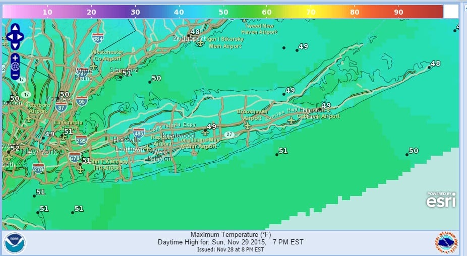
Sunday will be a day of gradual improvement with clouds gradually sinking southward as the day wears on. There may some clouds during the morning hours but by midday sunshine will be gaining control. Colder air began to move on Saturday afternoon went temperatures went from the lower 60s into the upper 40s in just a couple of hours. There will be an area of showers passing by just to our south this morning but those showers should remain to our south and not be a threat to today’s weather.


Temperatures today will settle in the upper 40s to near 50 for much of the day. Then look for temperatures to drop Sunday night into Monday morning with most lows in the upper 20s to around 30 degrees.

Highs Monday will probably only be in the low to mid 40s. Tuesday look for clouds to return and rain will develop with an onshore wind with highs just in the 40s to around 50. Rain will continue Tuesday night into at least part of Wednesday as temperatures rise into the 50s Wednesday. Then a cold front should move through and end the rain Wednesday afternoon. The rest of the week appears quiet with some sunshine returning for Thursday and Friday with highs in the 40s or basically average for early December.
Long range weather patterns DO NOT favor cold weather anytime soon nor are there any snow threats to worry about. The pattern is about as opposite as you can get with regards to cold and snow as all the cold air remains locked up in Northern Canada and the Arctic. There are no signs of a breakdown in this set up for at least the next 10 days or so. This pattern is also going to be a problem for northern areas as northeast ski resorts attempt to gear up for winter sports. Check on the links below for more on that as well as other long range analysis and forecasts.
NORTHEAST SKI RESORTS WILL HAVE LITTLE SNOW TO SKI ON FOR THE NEXT 10 DAYS
VIDEO ANALYSIS ON WHY THE COLD AIR IS TRAPPED. VIEW OF NORTH AMERICA TEMPERATURES
WARMEST NOVEMBER ON RECORD AND WHAT IT MEANS (OR DOESN’T MEAN)
DO WARM NOVEMBERS MEAN SNOWLESS WINTERS?
JOESTRADAMUS WINTER FORECAST 2015-2016
DO YOUR HOLIDAY SHOPPING ON MY WEBSITE AND AVOID MALLS AND TRAFFIC