
Flooding Possible Wednesday

Flooding issues are possible Wednesday as we have the combination of a two foot snow melt and the potential for 2 inches of rain in some places. The snow has been slowly melting over the last week and the ground is fairly soaked. The long period of melting probably makes it a little easier to handle in terms of water absorption but there is still the potential for some localized flooding from the rainfall.
Flooding Possible Wednesday Rainfall Forecast
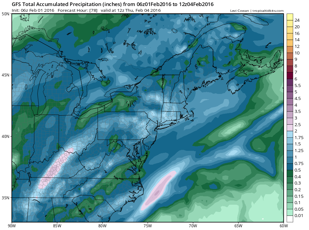
The GFS rainfall map shows up to 2 inches plus in much of the area. This is all geared for Wednesday. Rain should arrive Wednesday morning and should be done with Wednesday night. The NAM model shows a second wave on the front and has some more rain possible for Thursday if the wave is a little closer to the coast.
Flooding Possible Wednesday NAM Model Forecast
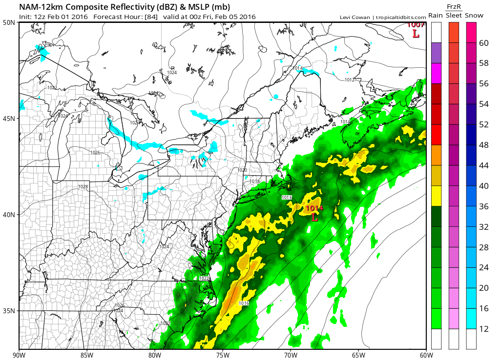
There isn’t enough cold air behind the front to make this anything other than another period of rain for Thursday. We will watch this to see if the wave trends westward to extend the rain or not. For now we will rate this as a possibility only.
Meanwhile today we have a cold front approaching and there could be a passing shower or two this afternoon into this evening but much of the day will be dry with sunshine and temperatures in the 50s.
Flooding Possible Wednesday Satellite & Radar Loops


Look for improving weather conditions tonight with skies partially clearing out with lows in the 30s with some 20s in cold spots. Tuesday we will see some sunshine with arriving clouds as an onshore flow develops. Highs will only be in the 40s.
Flooding Possible Wednesday Forecast Highs Wednesday
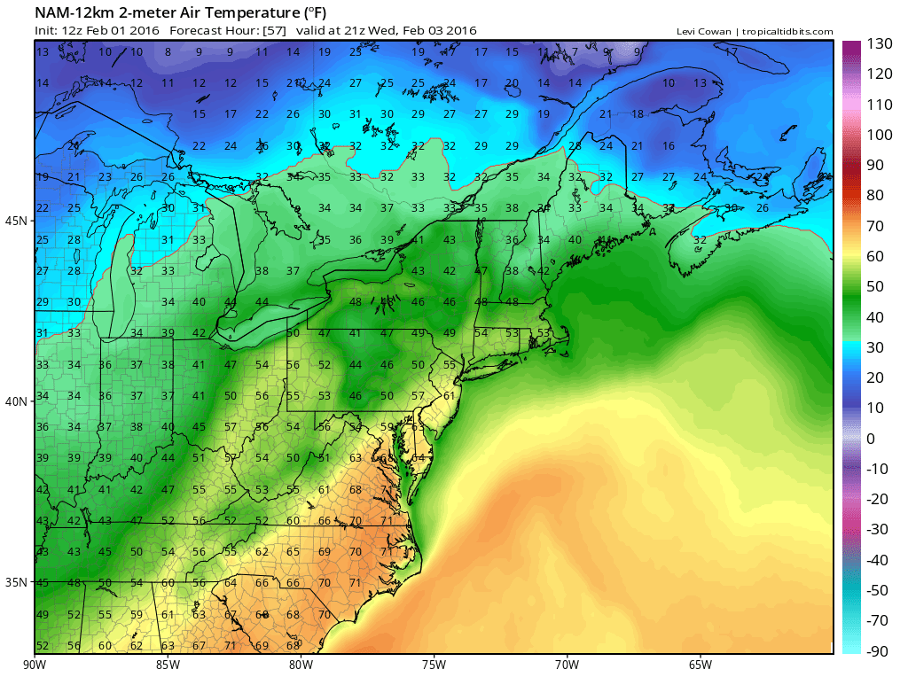
Wednesday with the southerly flow ahead of the front temperatures will make a run for the 60s. Also with the rain, look for the possibility of a thunderstorm in the mix with some locally heavy downpours.
Longer range points to a possible storm development in the East for late in the weekend or early next week but there is still a lot of model uncertainty regarding this.
NATIONAL WEATHER SERVICE SNOW FORECASTS
LATEST JOESTRADAMUS ON THE LONG RANGE
Weather App

Winter is here! Don’t be without Meteorologist Joe Cioffi’s weather app. It is a complete weather app to suit your forecast needs. All the weather information you need is right on your phone. Android or I-phone, use it to keep track of all the latest weather information and forecasts. This weather app is also free of advertising so you don’t have to worry about security issues with your device. An accurate forecast and no worries that your device is being compromised.
Use it in conjunction with my website and my facebook and twitterand you have complete weather coverage of all the latest weather and the long range outlook. The website has been redone and upgraded. Its easy to use and everything is archived so you can see how well Joe does or doesn’t do when it comes to forecasts and outlooks.
Just click on the google play button or the apple store button on the sidebar for my app which is onMy Weather Concierge. Download the app for free. Subscribe to my forecasts on an ad free environment for just 99 cents a month.
Get my forecasts in the palm of your hand for less than the cost of a cup of Joe!

![]()


