

Drying Out Today Weak System Passes East Overnight Rainy Weekend Outlook
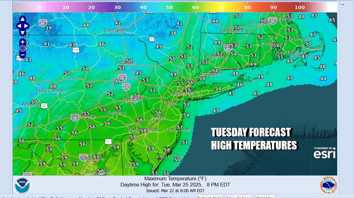
Drier air is settling into the Northeast today as a cold front heads to the east and pushes further offshore. We should see a fair amount of sunshine today in Eastern Pennsylvania to Southern New England but we will also see arriving clouds later this afternoon from the west. There is a disturbance in the Ohio Valley that is moving eastward with an area of light rain. This system is forecast to remain weak as it passes off the Delmarva Peninsula and offshore tonight. Perhaps there might be a little light rain tonight that touches parts of Southern New Jersey & Eastern Long Island but it will not amount to much. Temperatures today will generally top out in the middle to upper 50s.
SATELLITE WITH LIGHTNING STRIKES

WEATHER RADAR

Once this system passes to the east overnight we will see leftover clouds give way to sunshine Wednesday. Slightly colder air will be moving in from the northwest and that will keep temperatures close to or slightly below average for rest of the week. Temperatures Wednesday will top out mostly in the low to mid 50s.

Wednesday night into Thursday morning we will see most lows in the upper 20s and lower 30s under clear skies. High pressure settles overhead Thursday and that should set us up for a good deal of sunshine. Temperatures will likely top out in the low to middle 50s from north to south with no precipitation issues whatsoever.

At the end of the week we will begin to see lower pressures develop ni the Plains and this will start to process of a storm system that will head to the Great Lakes over the weekend. The trailing cold front will start to set off thunderstorms Friday across parts of Texas and the Lower Mississippi Valley. In the East a warm front will begin to set up across the Northern Mid Atlantic. For now Friday should be dry with some sunshine and highs will be in the mid 50s to around 60. The front will wobble southward Saturday and that will likely put us in an onshore flow and the chance for showers. Sunday brings a cold front eastward and we could see some showers and thunderstorms later in the day or Sunday night. Another front will approach Monday with more showers. Models are still try to grapple with all the energy that will be coming east and we could see some changes in the specific outlooks for the weekend.
BE SURE TO DOWNLOAD THE FREE METEOROLOGIST JOE CIOFFI WEATHER APP &
ANGRY BEN’S FREE WEATHER APP “THE ANGRY WEATHERMAN!
MANY THANKS TO TROPICAL TIDBITS FOR THE USE OF MAPS
Please note that with regards to any severe weather, tropical storms, or hurricanes, should a storm be threatening, please consult your local National Weather Service office or your local government officials about what action you should be taking to protect life and property.


